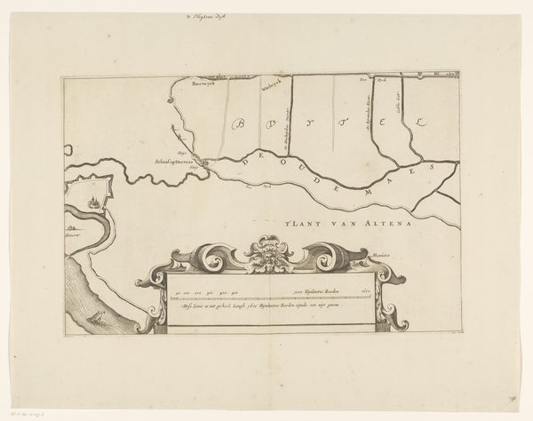
drawing, print, etching, paper, ink
#
drawing
# print
#
etching
#
landscape
#
etching
#
paper
#
ink
#
geometric
#
ancient-mediterranean
Dimensions: height 271 mm, width 224 mm
Copyright: Rijks Museum: Open Domain
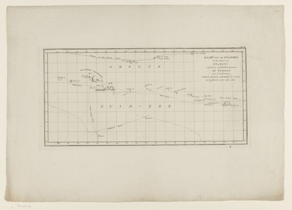
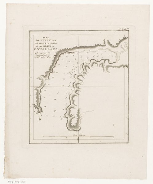
This anonymous map offers a view of Iwo Jima off the coast of Japan. The map, rendered in delicate lines and muted tones, presents the island within a structured grid, juxtaposing the organic form of the land with the geometric abstraction of cartography. Notice how the composition balances the detailed rendering of the island's topography with the flat, measured space of the map itself. This interplay between representation and abstraction invites us to consider the map not merely as a tool for navigation, but as a symbolic construction of space and knowledge. The island, observed from a distance, becomes an object of scientific scrutiny, its physical reality mediated through the detached gaze of the mapmaker. The map employs a semiotic system of signs, where lines, symbols, and textual annotations function as codes to interpret geographical data. Yet, the inherent ambiguity of these signs, and the tension between the map's objective and subjective qualities, remind us that mapping is never a neutral act, but always involves interpretation. This challenges fixed meanings and engages with new ways of thinking about space and perception.
Comments
No comments
Be the first to comment and join the conversation on the ultimate creative platform.
More like this