print, engraving
# print
#
old engraving style
#
landscape
#
geometric
#
cityscape
#
engraving
#
realism
Dimensions: height 260 mm, width 206 mm
Copyright: Rijks Museum: Open Domain
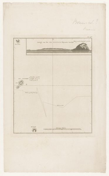
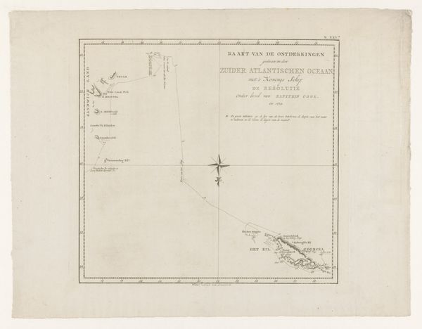
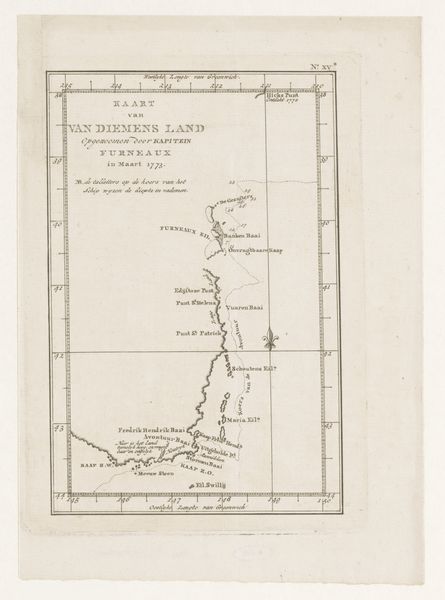
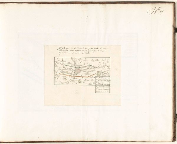
This anonymous print depicts the coast of Tasmania, or Van Diemen's Land, capturing its landscape with an almost clinical precision. The visual language speaks of exploration and dominion. Note the use of landscape as a recurring motif. From the idyllic landscapes of Arcadia to the sublime wilderness romanticized by later artists, land represents a stage upon which human dramas unfold. In ancient Greece, idealized landscapes reflected a yearning for harmony. Consider how this yearning contrasts with the colonial gaze of this print, which seeks to map and claim, not to commune. The act of mapping itself is an ancient ritual, a means of imposing order on the unknown, of psychologically possessing a space. This cartographic urge manifests in various forms across cultures, from indigenous Australian songlines to the modern-day geopolitical strategies. This map, like many before and after, embodies a complex interplay of curiosity, control, and the enduring human need to make sense of our world. The spirit of exploration, then, is a narrative thread woven through time, resurfacing with each new horizon, each new map drawn, each new claim staked.
Comments
No comments
Be the first to comment and join the conversation on the ultimate creative platform.
More like this