graphic-art, print, engraving
#
graphic-art
# print
#
landscape
#
geometric
#
line
#
engraving
Dimensions: height 490 mm, width 578 mm
Copyright: Rijks Museum: Open Domain
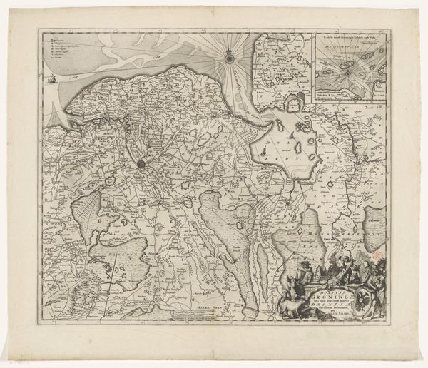
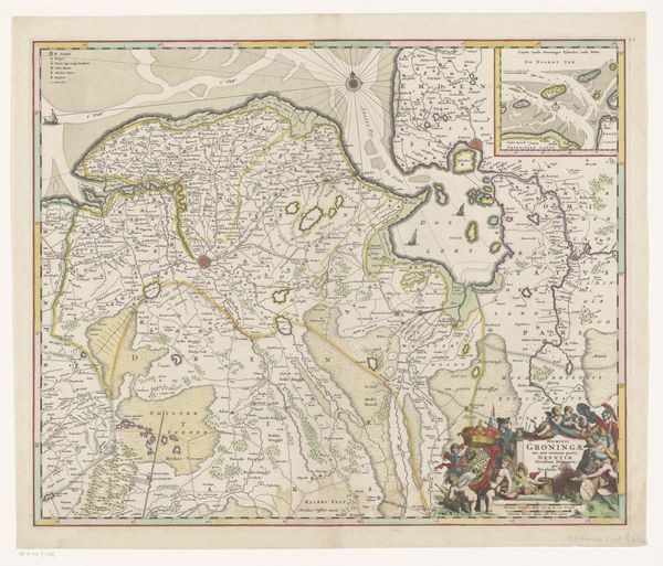
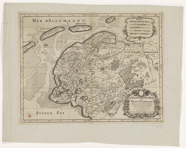
Editor: Here we have "Kaart van Friesland, Overijssel en Groningen," a map made after 1691 by an anonymous artist. It's an engraving, a kind of graphic print. Honestly, I find it sort of mesmerizing in its detail. What catches your eye when you look at this? Curator: Well, besides its sheer visual density, I'm struck by how this isn’t just a practical tool. Look closer—it’s a declaration of identity. It’s as if the artist is saying, "Here is us, meticulously rendered, a place in the world that we know intimately.” It's part-geography, part-poetry, wouldn't you say? What details pop for you? Editor: I guess the little ships sailing on what they label "Zuider Zee.” That makes me think about trade, and exploration, and how the waterways connected this area to the world. It's not just land, it's a network. Curator: Exactly! It's about connections. And, isn’t there a strange beauty in the almost frantic accumulation of detail? I see this as an anxious love letter, a perfect intersection of art and something more prosaic— perhaps the 17th-century version of us curating our social media profiles? What do you think? Is this 'art' at all? Editor: It's interesting to consider it that way. It certainly feels artistic and a useful historical tool. This was way more involved than just drawing what's there. It reminds me of that phrase "the map is not the territory"—this map tells you as much about who they were as the place. Curator: Ah, but perhaps the most authentic maps always show that interplay—the map and the mapmaker. That slippage between objectivity and human perspective? This one has that in spades. So glad to share this cartographic delight. Editor: Absolutely. Thanks so much for opening my eyes to how much stories a humble map can tell. I definitely learned a lot.
Comments
No comments
Be the first to comment and join the conversation on the ultimate creative platform.

