print, etching, paper
# print
#
etching
#
landscape
#
paper
#
regionalism
Dimensions: height 352 mm, width 513 mm
Copyright: Rijks Museum: Open Domain
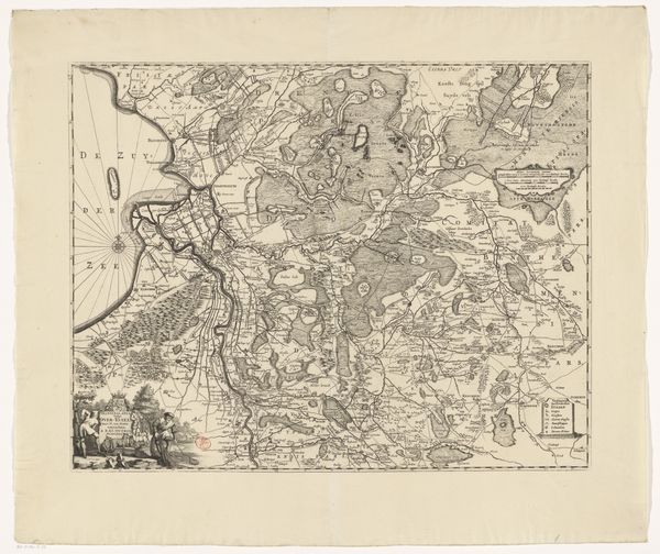
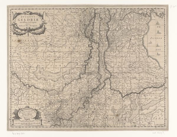
This is a map of the Betuwe region, made by an anonymous cartographer, and printed on paper. The use of paper as a ground is significant. It allowed for the mass production of this map, and its distribution to a wide audience. But don't overlook the process that led to its making. Someone had to survey the land, transfer that information to a drawing, then engrave it onto a printing plate. A skilled technician would have been needed to run off numerous impressions. It’s rendered in a muted palette, with a limited range of colors to distinguish different types of terrain. The textures of the land are also suggested through subtle variations in tone and line weight. This reflects the labor and skill involved in the printing process itself, and the social context within which maps like this were made. They were not only geographic tools, but also expressions of power, knowledge, and control over the landscape. Considering its materiality, process, and context helps us understand the full meaning of an artwork. It challenges traditional distinctions between fine art and craft.
Comments
No comments
Be the first to comment and join the conversation on the ultimate creative platform.
More like this