print, etching, engraving
#
pen drawing
#
dutch-golden-age
# print
#
etching
#
landscape
#
etching
#
engraving
Dimensions: height 866 mm, width 1074 mm
Copyright: Rijks Museum: Open Domain
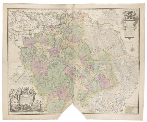
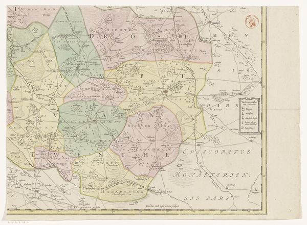
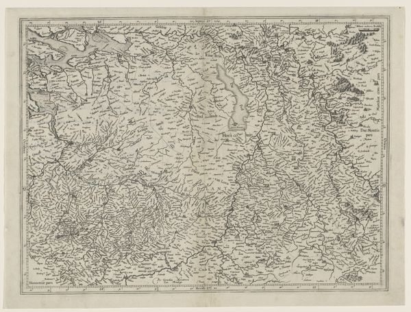
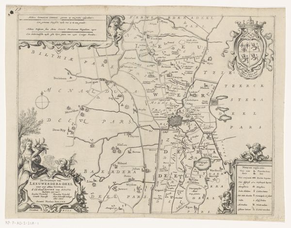
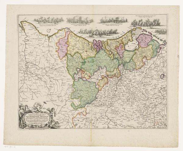
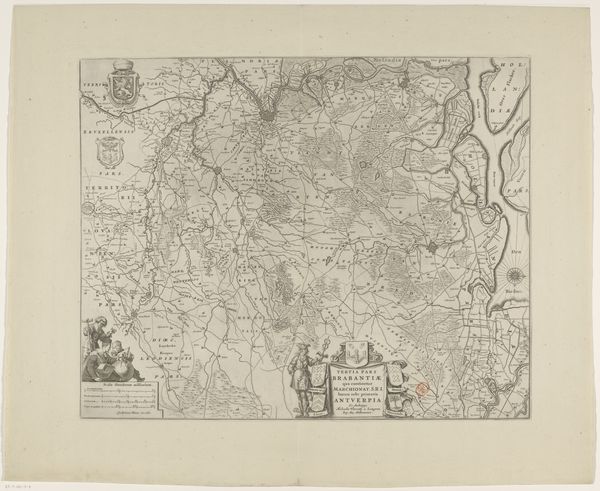
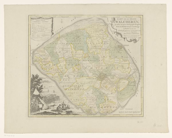
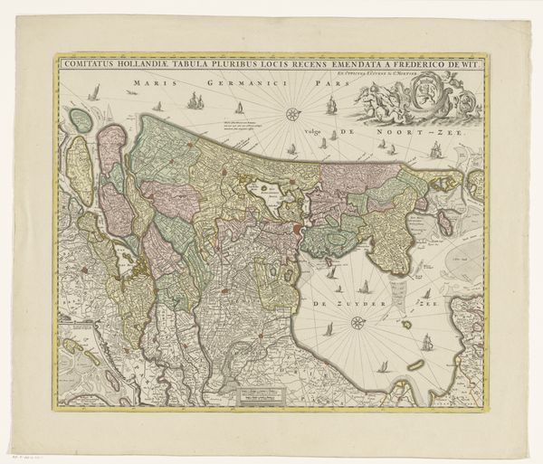
Gerard Coeck’s “Kaart van Overijssel, bestaande uit vier delen” is a four-part map of the Dutch province Overijssel, capturing the region in the first half of the 17th century. This map provides a fascinating glimpse into the geographical and political landscape of the Netherlands during a formative period. Historical maps are never neutral. They reflect not just physical space but also the power dynamics of their time. As the Dutch Republic was asserting its maritime power, maps such as these were essential tools for navigation, trade, and military strategy. Consider, for instance, how the map delineates territories and boundaries. Who decided these borders? And whose stories are left out of this ostensibly objective representation of space? The very act of mapping can be seen as an assertion of control, turning lived experience into a commodity. Maps offered a way of seeing and knowing the world, which served the interests of exploration and colonization. This map provides insight into how territories were perceived and controlled, shaping not only the land but also the lives of its inhabitants.
Comments
No comments
Be the first to comment and join the conversation on the ultimate creative platform.
More like this