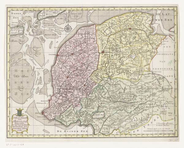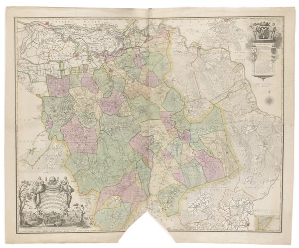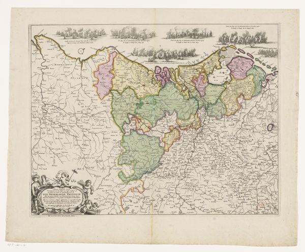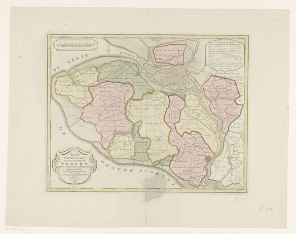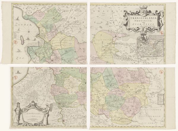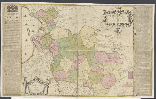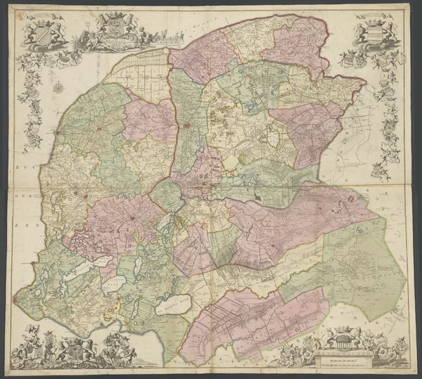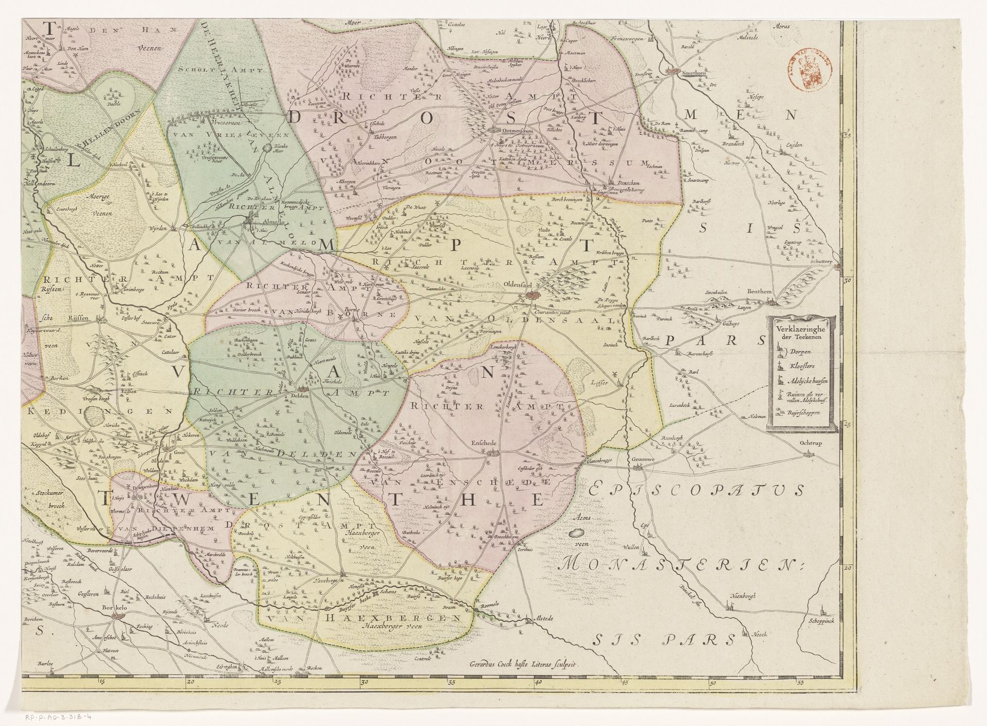
c. 1648 - 1743
Kaart van Overijssel (deel rechtsonder)
Listen to curator's interpretation
Curatorial notes
This is Gerard Coeck’s "Kaart van Overijssel", a section of a map made in the Netherlands, around the mid-17th century. Maps like these reflect a growing interest in geographical knowledge during the Dutch Golden Age, driven by trade, exploration, and military strategy. The use of colour and detailed symbols provides a visual coding of territory and resources, asserting control over space. The map creates meaning through its visual language and associations with Dutch identity, commerce, and colonial expansion. The map reveals both local administrative divisions as well as the broader claims of the church in the region. Historical maps are vital for understanding social and institutional history, informing the politics of imagery in their time. We can research the lives of mapmakers, analyse archival records of cartographic production, and compare maps with other forms of spatial representation. The meaning of this map is historically contingent, shaped by the social and institutional context of its making.