graphic-art, print, etching
#
graphic-art
#
dutch-golden-age
# print
#
etching
#
etching
Dimensions: height 363 mm, width 406 mm
Copyright: Rijks Museum: Open Domain
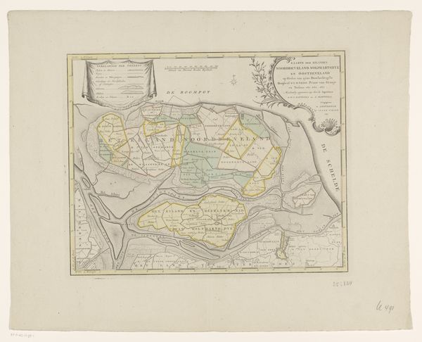
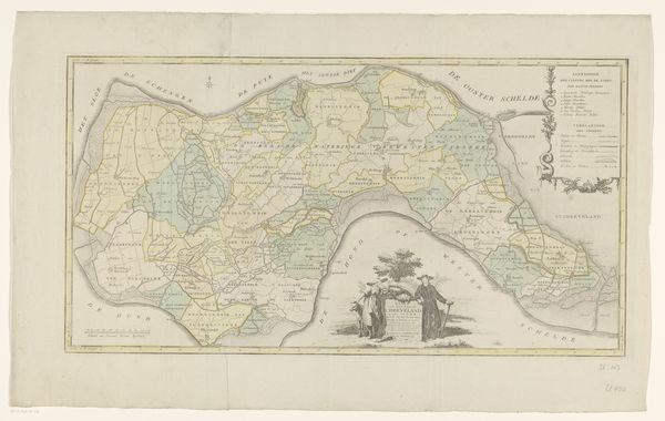
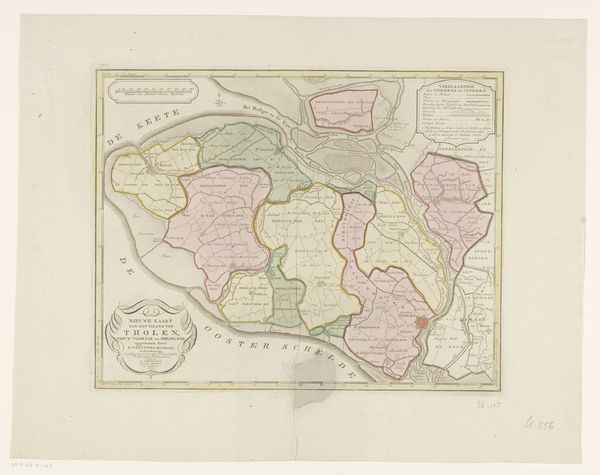
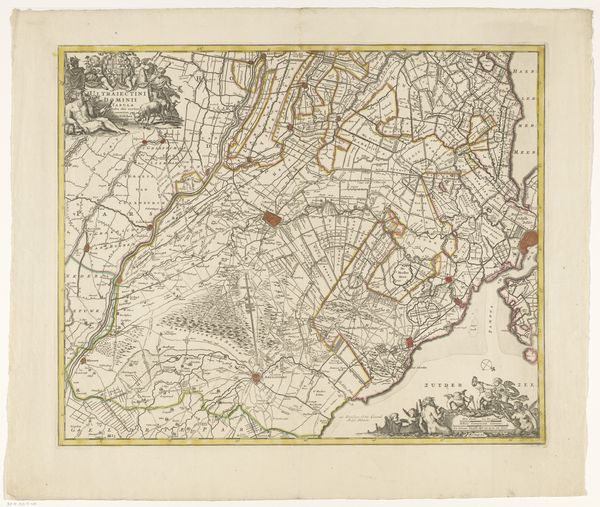
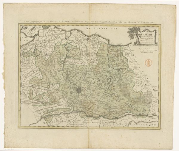
Curator: Christiaan Sepp’s “Kaart van Walcheren,” made between 1753 and 1760, presents a detailed etched map of the island of Walcheren. What are your initial thoughts on this piece? Editor: My immediate response is to the human endeavor evident in this work. I’m thinking about the work—the labor, time, skill involved—not only of the artist, but of the cartographers and engravers, those that built the tools used to create such a precise image. It’s about craftsmanship as a process of knowledge. Curator: It’s true; this etching is striking, notable for its rigorous precision. Notice how Sepp uses delicate linework to create a very clear system, a hierarchy even, for roads, waterways, and settlements. There is order made visible. Editor: Right, the level of detail is astounding, especially considering the methods they would have been using. It begs the question, though: Who was the audience for a piece like this? These weren't cheap commodities; what were their channels of distribution, and what sort of socio-political influence would these maps have yielded? Curator: Considering that the map seems dedicated to Willem V, Prince of Orange, its creation speaks to both a need for administrative knowledge and an exercise in power through the detailed, visually compelling rendering of domain. I wonder how much that Baroque cartouche speaks to an image of justified dominion over this place? Editor: Precisely, so it is in both circulation and construction of power. Think of the engraver painstakingly cutting into the plate. His skill and the value of that skill is tied to social relations and their maintenance. Also, observe the lower register showing folks living on that island—how that speaks to the artist and mapmaker relating themselves to their subject matter through that level of material specificity. Curator: Absolutely; the material object encodes far more than place, its visual strategies are bound to cultural and economic context, too. The interplay of art and design within speaks volumes to the period it was created in and the period it represents. Editor: It moves me to think of the map in constant material flux, through its production as it ages as both an art piece and historical document. Its story expands infinitely outward in that respect. Curator: Indeed, the meticulous, technical nature of this work encourages me to consider just that interplay—the semiotics of control. Editor: While for me, its the endless ripples of a document born of labor. Thank you.
Comments
No comments
Be the first to comment and join the conversation on the ultimate creative platform.
More like this