graphic-art, print, pen, engraving
#
graphic-art
#
aged paper
#
dutch-golden-age
# print
#
old engraving style
#
pen work
#
pen
#
engraving
Dimensions: height 183 mm, width 267 mm
Copyright: Rijks Museum: Open Domain
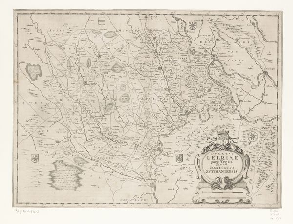
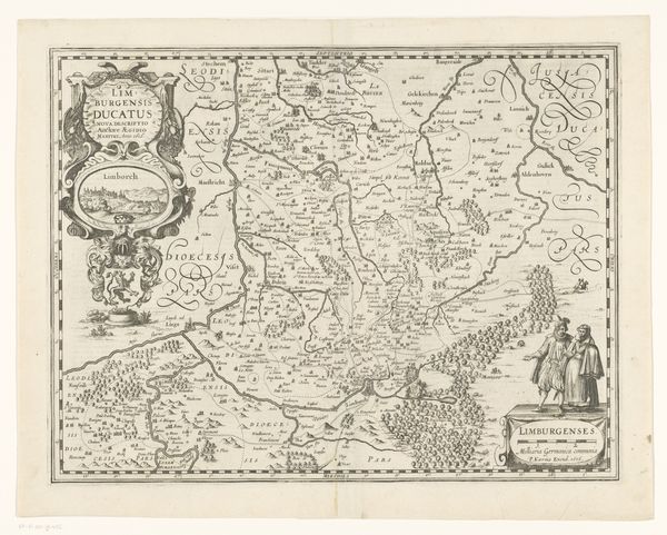
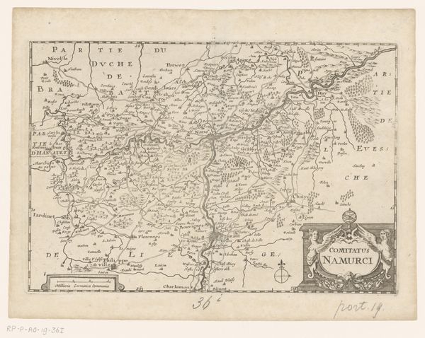
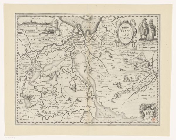
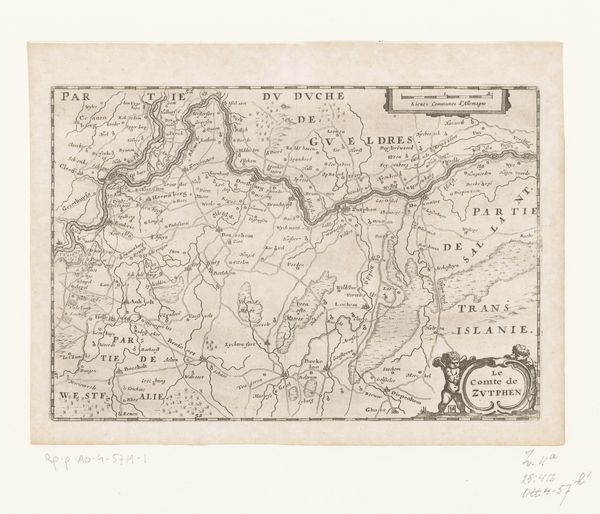
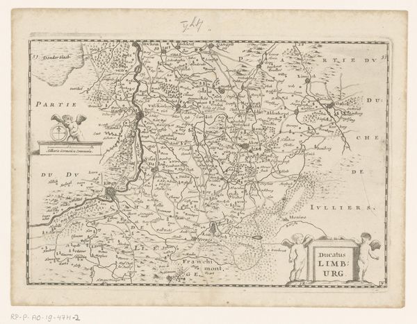
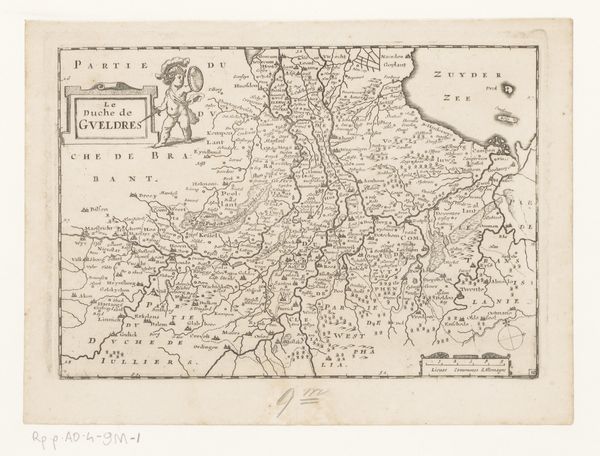
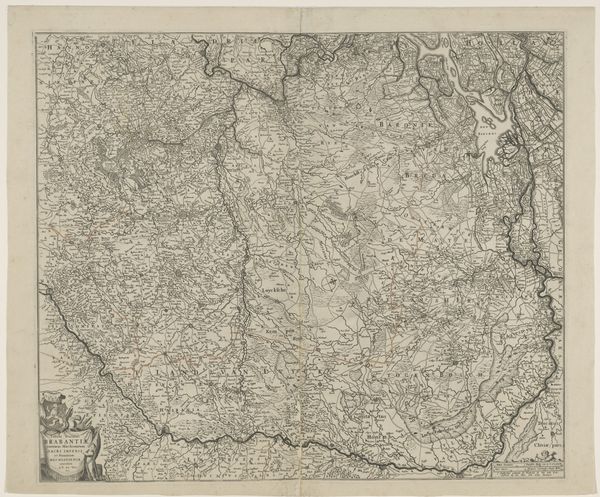
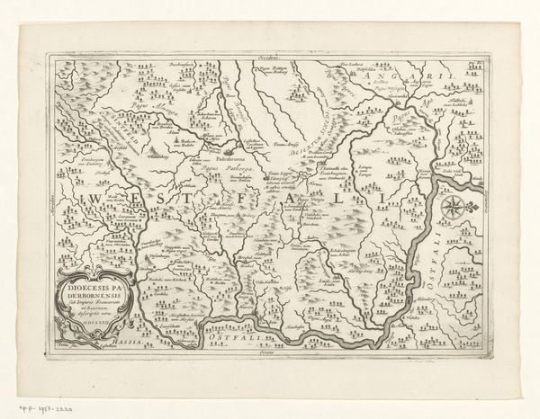
Curator: Let's look at this captivating piece. This is “Kaart van Westfalen,” a 1672 map by Jan Matthysz, rendered as a pen and ink engraving. Editor: It's fascinating to see how detailed the map is, even the tiny towns are marked. It almost feels like a living document. How do you think this map functioned within its historical context? Curator: That’s an insightful observation. Consider that maps of this era weren't just about navigation, but tools of power. Creating and possessing such detailed geographical knowledge of Westphalia, a region rife with political tension, allowed the Dutch to wield significant influence. Who controlled the imagery controlled, in a sense, the territory. Notice the decorative cartouche; even the lettering style suggests a deliberate effort to project authority. Editor: So it's about more than just knowing where places are; it's about asserting dominance through cartography. Were these maps widely accessible to the public at the time? Curator: Access was likely limited to governmental officials, merchants, and the elite, those who had a vested interest in trade, military strategy and political power. Maps were expensive and precious objects. They visually enforced status, and offered knowledge which translated into material advantage. Who would be consuming such an image? How might that influence what details are shown, and what’s omitted? Editor: That really shifts my perspective. I initially saw it as just a historical artifact, but now I understand its strategic role in 17th-century geopolitics. Curator: Precisely! By viewing this map not just as a record but as an instrument of political assertion, we unlock deeper insights into the relationship between art, knowledge, and power. Now what do you think of its impact as art in the present time? Editor: Now I can see it's not just information, but also propaganda. Thinking about its influence makes it way more relevant today, thanks. Curator: And that’s how historical context can dramatically alter our understanding and appreciation.
Comments
No comments
Be the first to comment and join the conversation on the ultimate creative platform.
