print, engraving
# print
#
landscape
#
geometric
#
engraving
Dimensions: height 233 mm, width 302 mm
Copyright: Rijks Museum: Open Domain
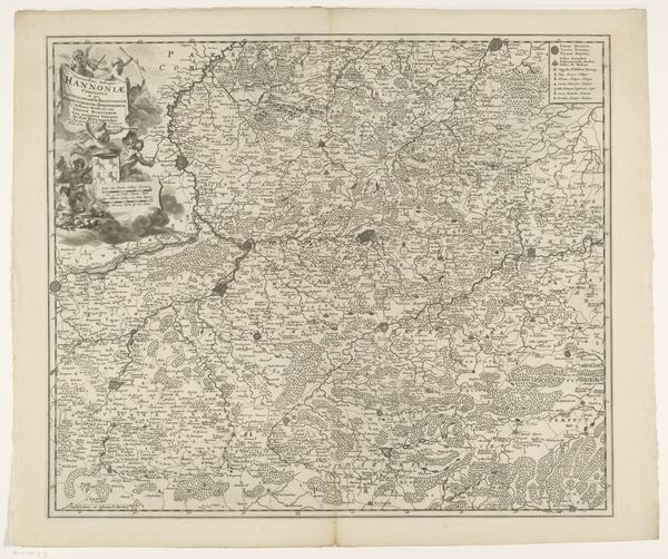
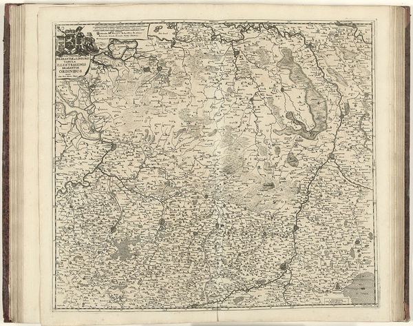
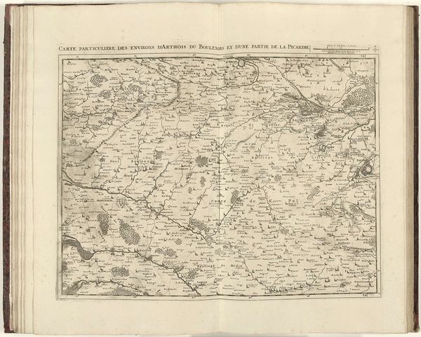
This is an anonymous map of the Republic of Venice, created in 1726. Venice, during this period, occupied a precarious position; once a major maritime power, it was now dealing with shifting political winds and a decline in its economic power. The detailed rendering of this map reflects more than geographic precision; it encapsulates Venice's attempt to assert its presence in the face of change. Who made this map remains a mystery, but its purpose transcends mere cartography. It speaks to themes of identity, power, and legacy during a pivotal moment in Venice's history. Its detail suggests both a pride in Venetian lands and perhaps a desire to assert control over a world that was rapidly evolving beyond its grasp. Examine this work as an emotional and historical touchstone, it reflects Venice's enduring spirit and its complex relationship with a world in flux.
Comments
No comments
Be the first to comment and join the conversation on the ultimate creative platform.
