drawing, print, ink, engraving
#
drawing
#
baroque
# print
#
landscape
#
ink
#
history-painting
#
engraving
Dimensions: height 439 mm, width 555 mm
Copyright: Rijks Museum: Open Domain
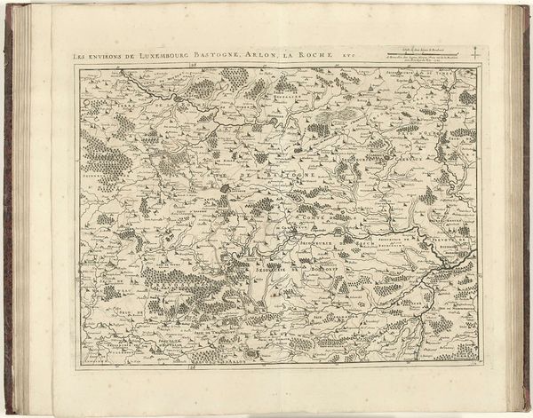
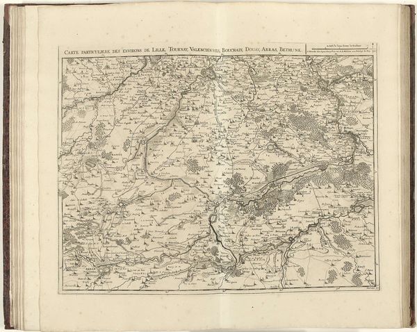
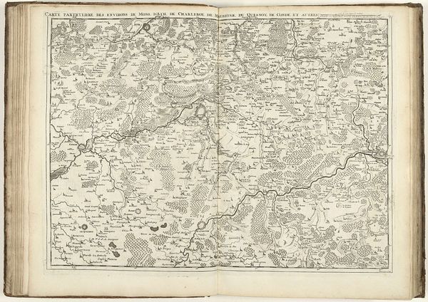
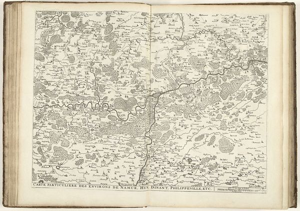
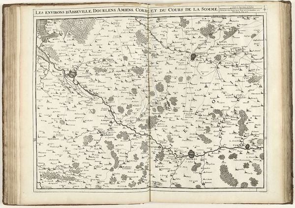
Jacobus Harrewijn created this map of Artois and part of Picardy in 1708 with engraving. Observe how Harrewijn's meticulous rendering of landscapes, cities, and roads evokes the universal human desire to chart and comprehend our surroundings. The map is a symbolic representation of power, reflecting how rulers perceive and administer their territories. From ancient Roman cadastres to medieval mappa mundi, this motif resonates throughout history, underscoring the timeless significance of geographical knowledge. Consider how the seemingly objective map of Artois is deeply connected with the emotional and cultural landscapes of its inhabitants, and how these maps are related to the human need for orientation and control, reflecting both individual and collective aspirations. This map is an echo across time; each cartographic symbol becomes a conduit of collective memory, endlessly reconfigured and reimagined across generations.
Comments
No comments
Be the first to comment and join the conversation on the ultimate creative platform.
More like this