drawing, print, ink, pen, engraving
#
drawing
#
pen drawing
# print
#
landscape
#
ink
#
geometric
#
pen
#
history-painting
#
engraving
Dimensions: height 232 mm, width 301 mm
Copyright: Rijks Museum: Open Domain
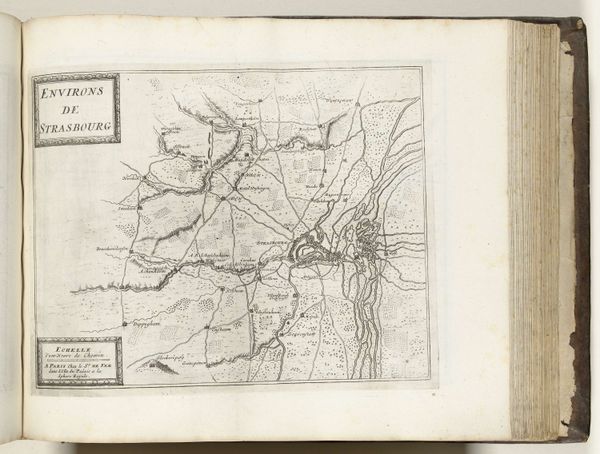
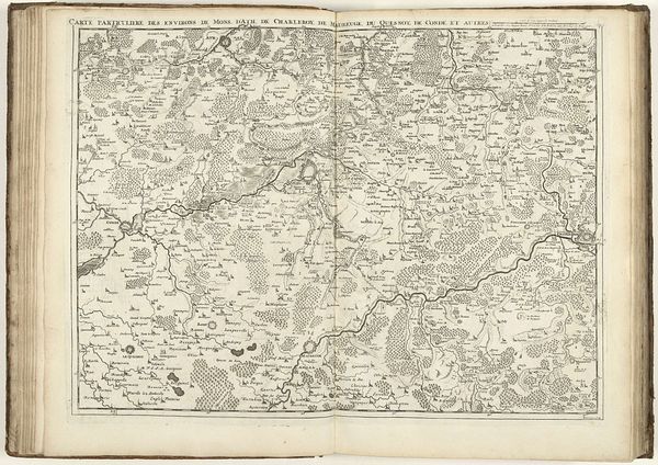
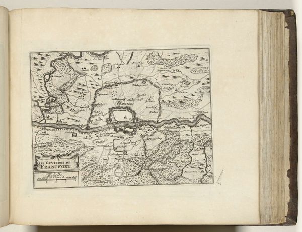
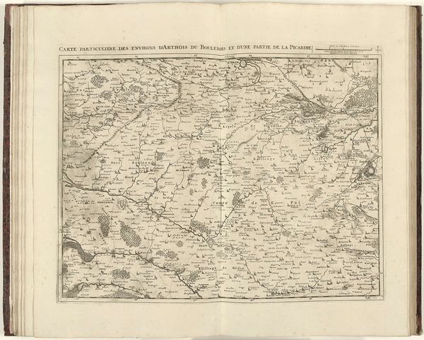
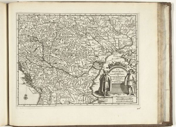
This anonymous map of Muscovy was made in 1726. It presents a densely detailed view of the region through the medium of engraving. The map employs a rigorous structure of lines and symbols, creating a sense of ordered space. Rivers meander as hatched lines, forests are symbolized with clusters of tiny trees, and settlements are marked with miniature architectural drawings. The mapmaker uses a semiotic system of signs to convey geographical and political information within a rigidly controlled visual field. The mapmakers engage with new ways of thinking about space and representation, by translating an unwieldy land into a manageable visual format. The density of detail speaks not just to geographical accuracy but also to the ambition of representing a complex geopolitical reality through a formalized graphic language. Ultimately, the success of this map lies in its fusion of aesthetic form and practical function. It invites us to consider how cartography can shape our perception and understanding of the world.
Comments
No comments
Be the first to comment and join the conversation on the ultimate creative platform.
More like this