#
aged paper
#
toned paper
#
water colours
#
personal sketchbook
#
coloured pencil
#
watercolour bleed
#
watercolour illustration
#
sketchbook art
#
marker colouring
#
watercolor
Dimensions: height 157 mm, width 220 mm
Copyright: Rijks Museum: Open Domain
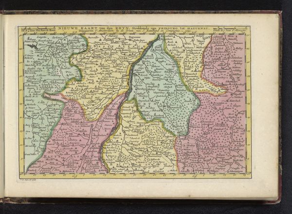
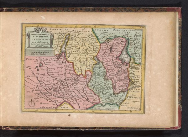
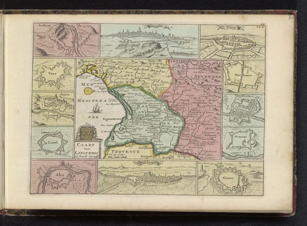
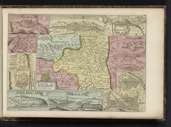
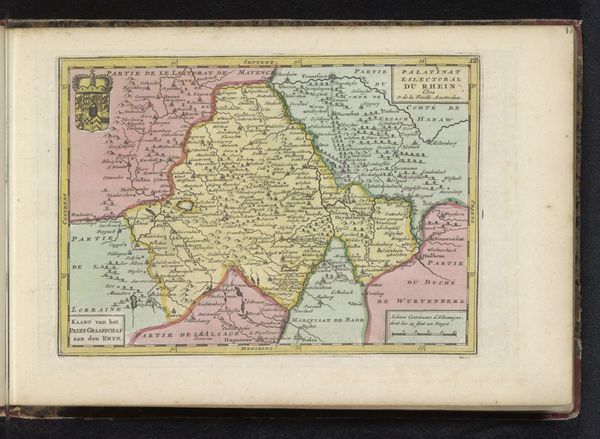
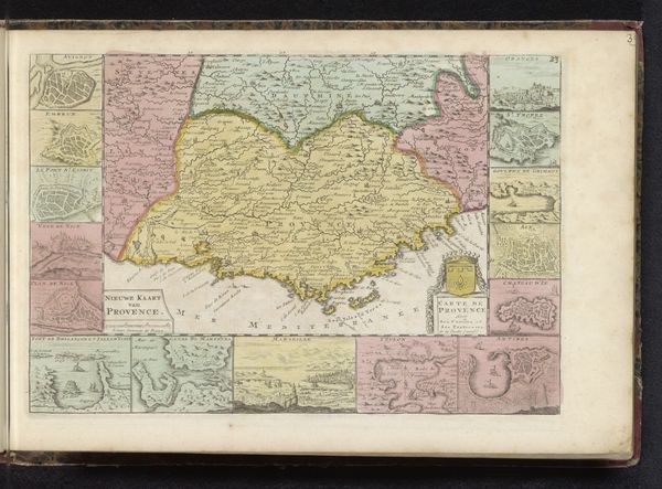
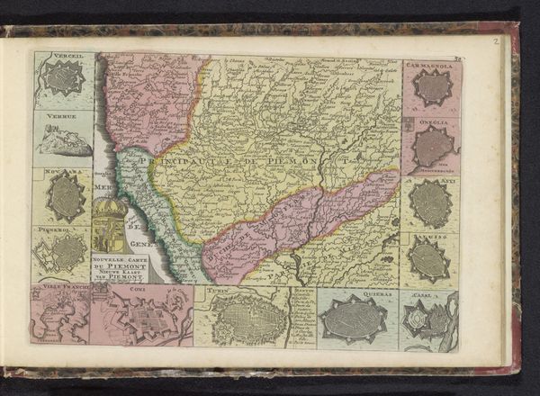
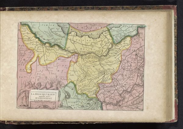
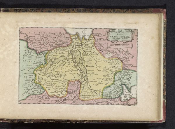
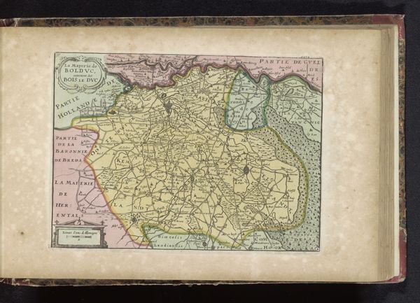
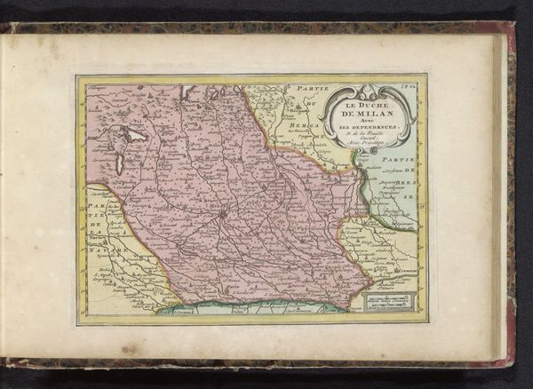
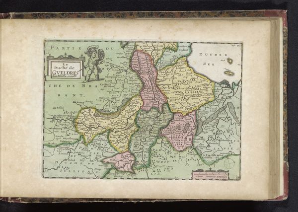
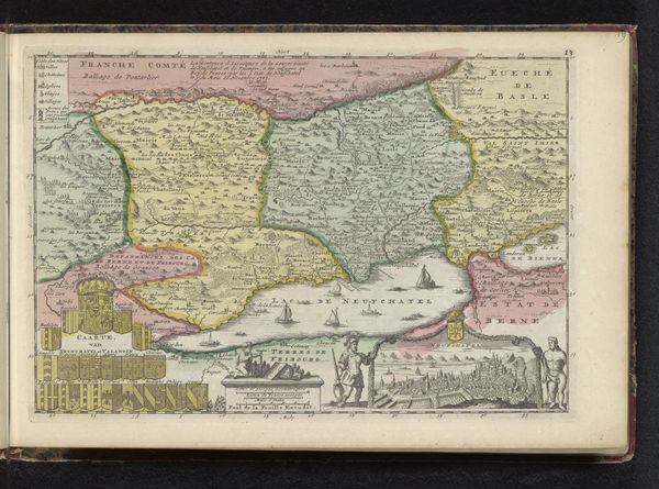
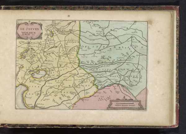
This map of Veneto was made by an anonymous artist using ink on paper. Its seemingly simple construction belies the complex processes involved. Paper, itself a product of considerable labor, is here intricately inscribed with the region's topography and political boundaries. Look closely, and you’ll see how the delicate lines and washes of color bring a sense of depth and texture to the flat surface. Each stroke represents a decision, a selection of what to include and what to omit. The map’s aesthetic qualities, like the elegant script and careful coloring, reflect the skill of the hand that made it, and the cultural values placed on precision and presentation. It is also worth considering the social context. Maps like these were essential tools for trade and governance. The labor invested in its creation speaks to the importance of geographical knowledge in shaping economic and political power. The map is not just a representation of a place, but also a reflection of the social systems that defined it.
Comments
No comments
Be the first to comment and join the conversation on the ultimate creative platform.
