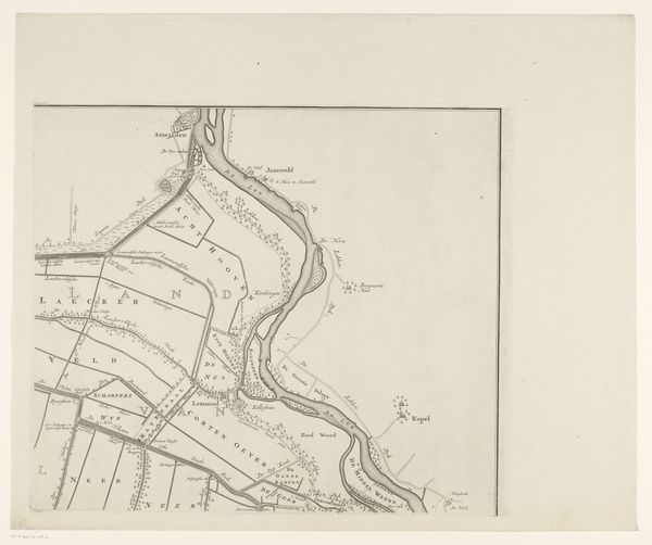
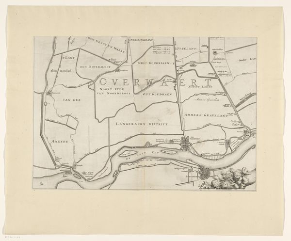
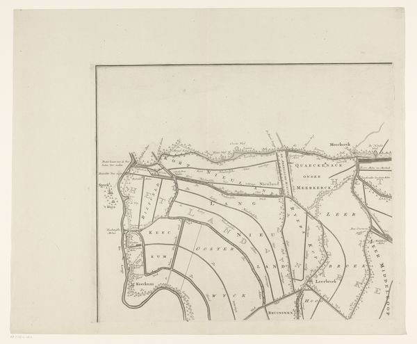
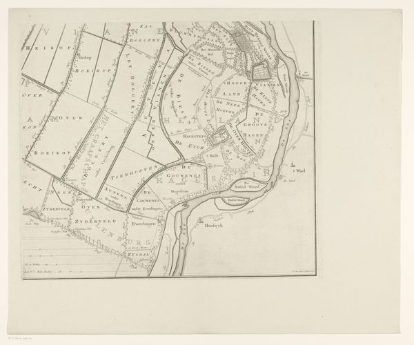
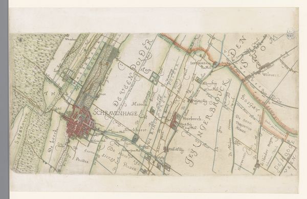
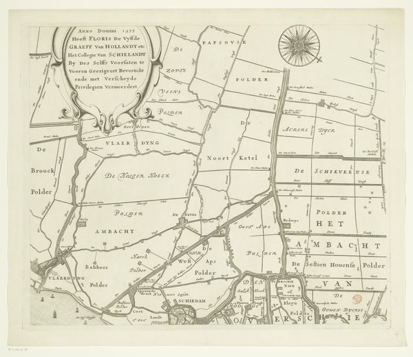
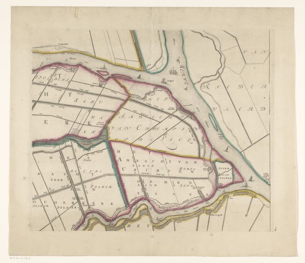
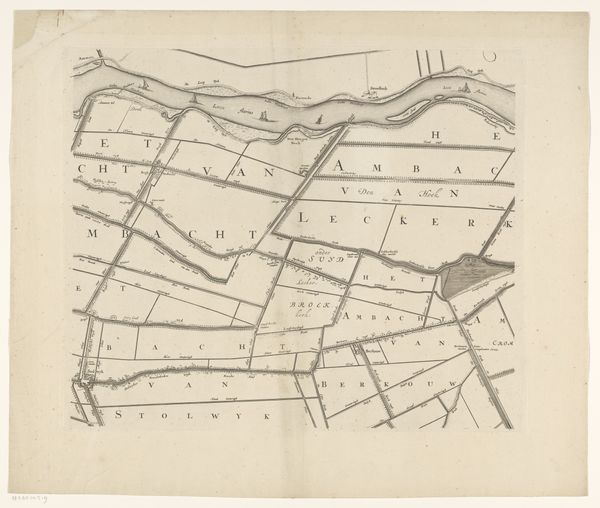
Kaart van de Alblasserwaard en de Vijfheerenlanden (deel linksonder) 1681 - 1716
0:00
0:00
bastiaenstopendael
Rijksmuseum
graphic-art, print, etching
#
graphic-art
#
dutch-golden-age
# print
#
etching
#
landscape
#
etching
Dimensions: height 340 mm, width 597 mm
Copyright: Rijks Museum: Open Domain
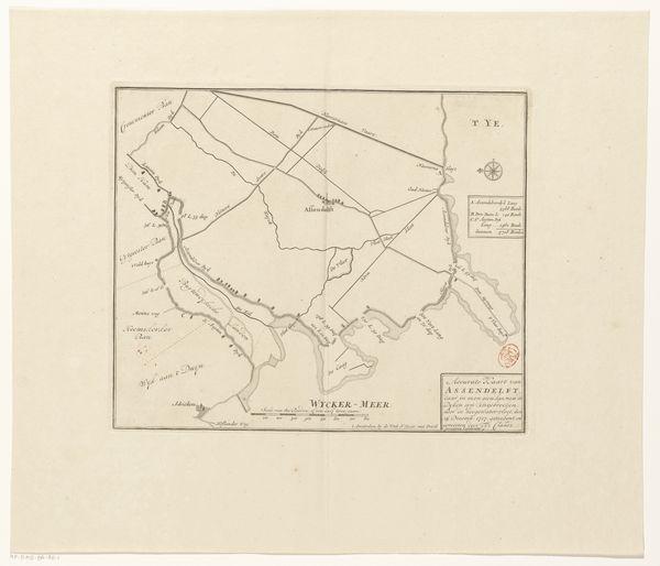
This is a section of a map of Alblasserwaard and Vijfheerenlanden, rendered by Bastiaen Stopendael in the 17th century. Stopendael lived during the Dutch Golden Age, a period marked by unprecedented economic growth and cultural flourishing in the Netherlands. Maps like these weren't just geographical tools. They were also assertions of power, reflecting the Dutch Republic's dominance in trade and navigation. The meticulous detail with which Stopendael delineates the landscape speaks volumes about the value placed on land ownership and resource management. The waterways, so carefully charted, were the lifeblood of the Dutch economy, facilitating trade and connecting communities. This map reminds us that land and water have always been deeply intertwined with identity, power, and survival. Look closely. What does it feel like to imagine life during this era? Consider how the intersections of geography, commerce, and politics shaped not just the land, but also the lives of the people who inhabited it.
Comments
No comments
Be the first to comment and join the conversation on the ultimate creative platform.
More like this