print, engraving
#
water colours
#
dutch-golden-age
# print
#
landscape
#
coloured pencil
#
line
#
cityscape
#
history-painting
#
engraving
Dimensions: height 386 mm, width 500 mm
Copyright: Rijks Museum: Open Domain
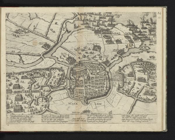
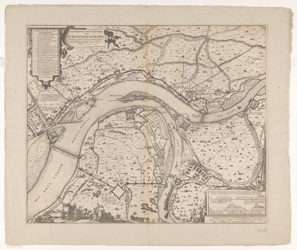
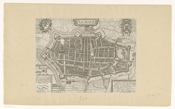
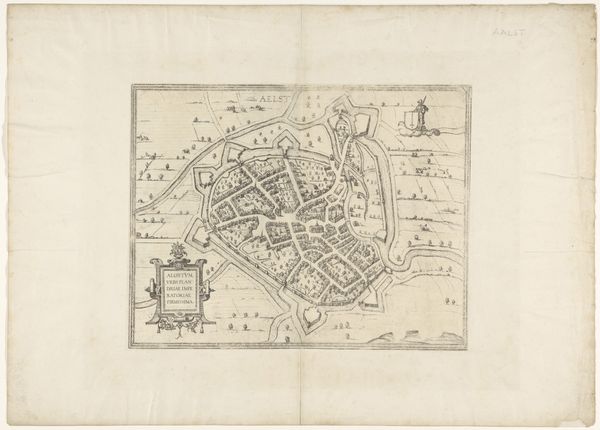
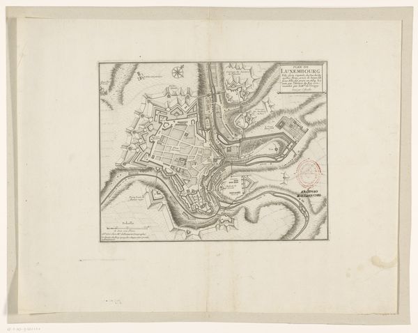
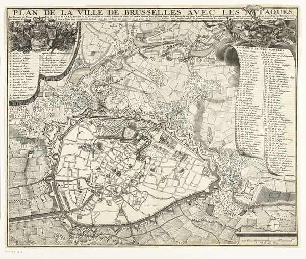
This anonymous map depicts the siege of Sluis by the Dutch army under the command of Maurice of Nassau in 1604. It offers a glimpse into the military strategies and territorial ambitions of the Dutch Republic during the early modern period. Produced during the Eighty Years' War, this map is not just a geographical representation; it's a visual assertion of power and control. It reflects the intense political and military struggles between the Dutch Republic and the Spanish Empire for dominance over key territories and trade routes. The detailed depiction of fortifications, waterways, and troop placements underscores the strategic importance of Sluis, a coastal town that controlled access to vital shipping lanes. Maps such as this one played a crucial role in shaping public opinion and bolstering national identity. Their wide distribution, supported by the printing press, helped legitimize the Dutch Republic's claims to sovereignty. By studying archival documents, military records, and contemporary accounts, we can reveal the full significance of this image as both a historical artifact and a political statement.
Comments
No comments
Be the first to comment and join the conversation on the ultimate creative platform.
More like this