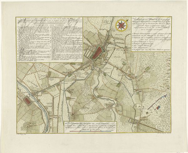
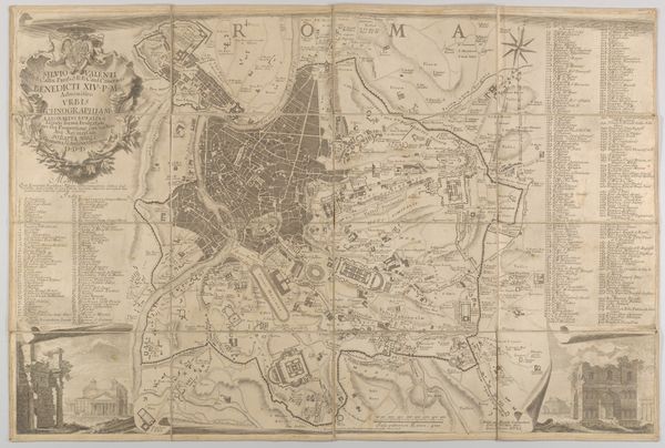
drawing, print, watercolor
#
drawing
#
dutch-golden-age
# print
#
landscape
#
watercolor
#
history-painting
Dimensions: height 458 mm, width 560 mm
Copyright: Rijks Museum: Open Domain
Editor: We're looking at "Kaart van de verdediging van de stad Utrecht, 1787" by Coenradus Henricus Koning, created in 1789. It seems to be a drawing and print, maybe with watercolor. It feels so detailed! What stands out to you in this piece? Curator: Well, immediately, it reads as more than just a map. Consider the date: 1789. The French Revolution is happening, and this map, commissioned during a period of political instability in the Netherlands, functions as a form of propaganda. What story do you think it tells? Editor: Propaganda? It seems so…factual. Like just documenting the layout. Curator: Precisely! That's part of the strategy. The artist is presenting a seemingly objective view of Utrecht's defenses. This map is performing a cultural function: reassuring citizens, projecting strength against perceived threats. Do you notice any specific visual elements that support this interpretation? Editor: The little fortress-looking things near the edge? They make it seem impenetrable. But if this was supposed to be public art, wouldn't it be hard to understand, being a map? Curator: That's an astute question. Maps at the time were not universally accessible, particularly among lower classes. The intended audience would likely have been civic leaders, wealthy merchants, and military officials, who each have a particular relationship with the protection and future of Utrecht. These are the people whose confidence the map is designed to bolster. Does understanding that influence how you feel about the piece? Editor: Absolutely. It makes me realize it’s not just about geography, it’s about power, who holds it, and how they maintain it. Thanks. Curator: And that’s how we begin to understand the public life of art.
Comments
No comments
Be the first to comment and join the conversation on the ultimate creative platform.
More like this