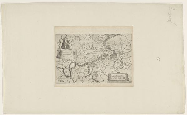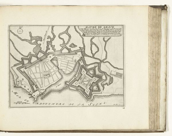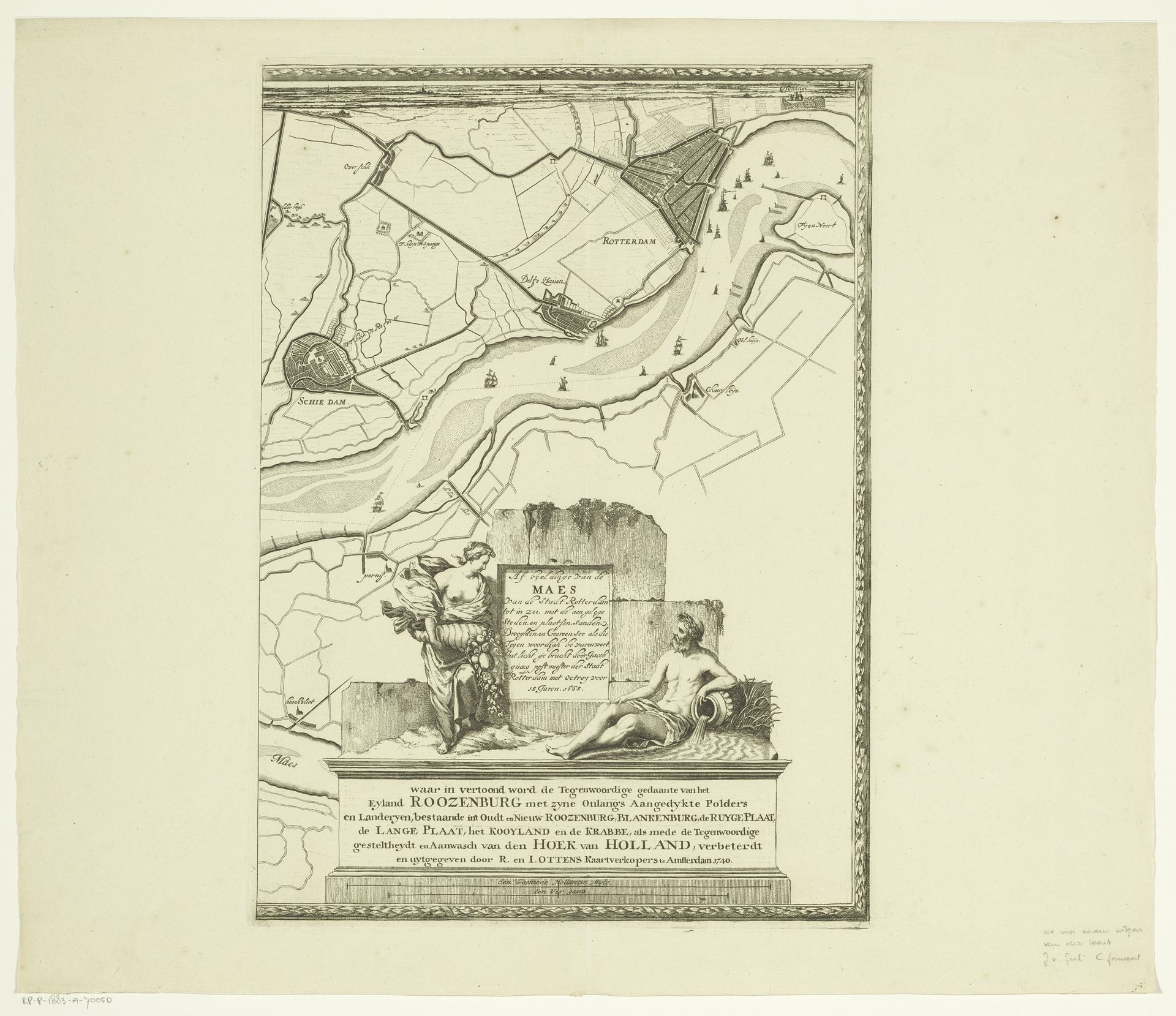
1666 - 1740
Kaart van de Maas van Rotterdam tot de Noordzee (vierde deel)
Listen to curator's interpretation
Curatorial notes
Curator: Editor: Editor: This etching, “Kaart van de Maas van Rotterdam tot de Noordzee (vierde deel),” is attributed to Joost van Geel and dates sometime between 1666 and 1740. It’s a rather fascinating map, not just showing geographic features but including allegorical figures at the bottom. How do we interpret this blending of cartography and symbolism in this period? Curator: That's a crucial point to consider. Maps during this era, especially in the Dutch Golden Age, were not just about navigation. They were statements of power, knowledge, and national identity. Notice how this "Kaart" uses classical figures. Do you think that this evokes authority and sophistication? Editor: Absolutely. It's almost as if by including these figures, the map elevates the importance of the Dutch landscape. Was this a common practice, to include elements like these? Curator: Yes, to varying degrees. Remember that the Dutch were major players in global trade and exploration. Maps were highly valued objects, and incorporating symbolic and artistic elements reinforced their cultural significance and helped assert Dutch dominance. What about the style; does it say anything to you? Editor: The detailing is fascinating - it’s quite precise for such a wide area of the Maas River, almost like it shows wealth in Dutch Trade through the labor. But it is all so deliberate! Is this what a lot of Dutch art tried to display during that period? Curator: It definitely played a role! Looking at this map reminds me that even seemingly objective documents like maps can be powerful cultural artifacts, deeply embedded in the politics and aspirations of their time. Editor: It's like they're not just showing where things *are*, but also making a statement about where they *belong* in the world. Curator: Exactly. Next time we see another map from this period, we need to ask ourselves: who created this, for what purpose, and what story is it really trying to tell?