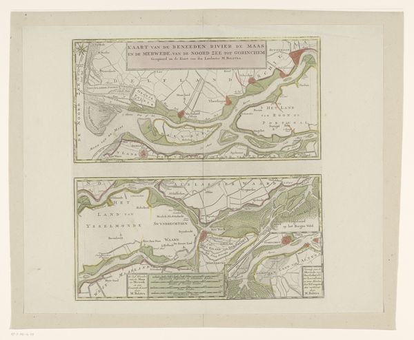
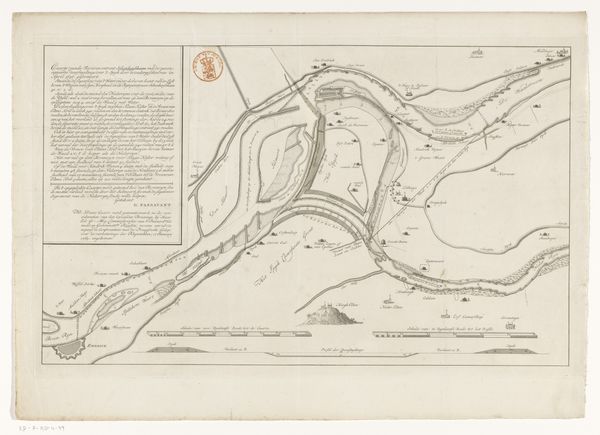
Kaart van het gebied tussen Den Bosch en Geertruidenberg met dijkdoorbraken (derde blad) before 1757
0:00
0:00
graphic-art, print, paper, engraving
#
graphic-art
#
dutch-golden-age
# print
#
old engraving style
#
paper
#
pen-ink sketch
#
engraving
Dimensions: height 308 mm, width 459 mm
Copyright: Rijks Museum: Open Domain
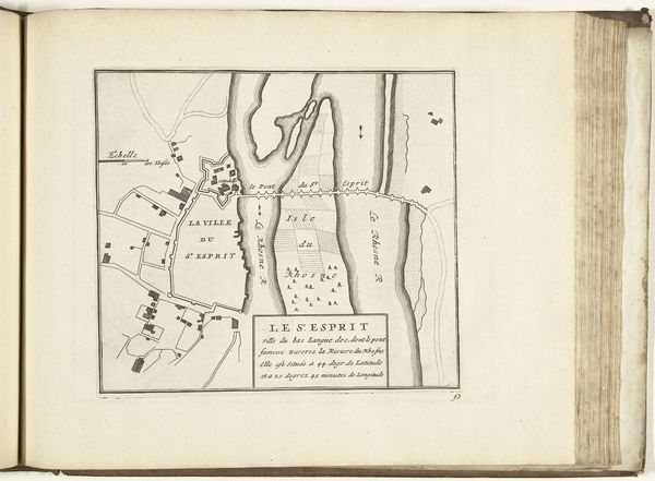
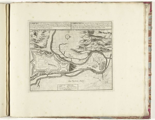
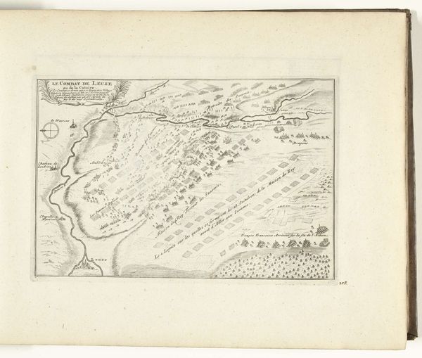
This anonymous map details the area between Den Bosch and Geertruidenberg, pinpointing levee breaches. Though unsigned, the map offers insight into the precarious relationship the Dutch have with water. The reality of the Netherlands is one defined by its geographical challenges. Low-lying and densely populated, the ever-present threat of flooding has indelibly shaped Dutch identity and culture. In a landscape constantly at risk, dykes and waterways become not just geographical features but symbols of communal effort, engineering prowess, and the ongoing struggle to maintain control over nature. We could imagine the fear of those whose livelihoods and homes were threatened by these breaches. And it's important to remember the human cost of these disasters, which, while not explicitly depicted here, are deeply embedded in the map's very purpose. The map serves as a stark reminder of the delicate balance between human ambition and environmental forces. It invites us to reflect on our own relationship with the world and the continuous negotiation of power and vulnerability that defines the human condition.
Comments
No comments
Be the first to comment and join the conversation on the ultimate creative platform.
More like this