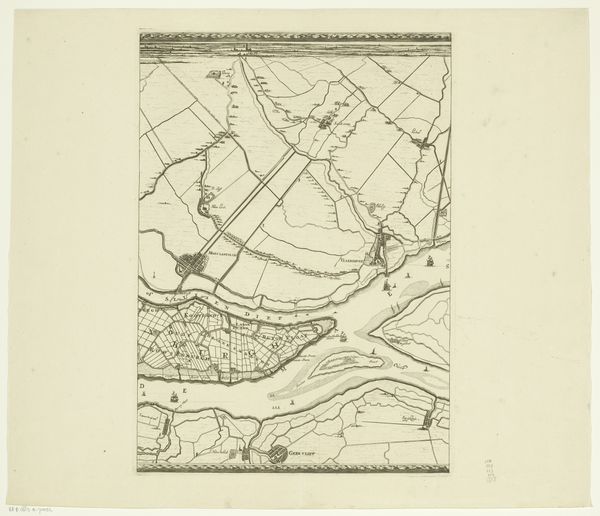
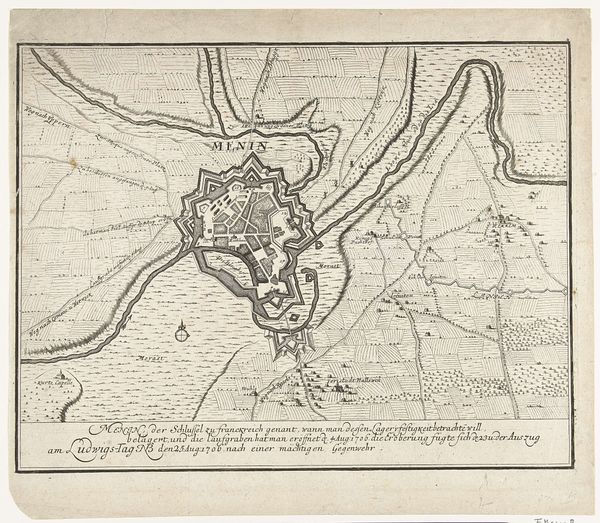
print, etching, engraving
#
aged paper
#
light pencil work
# print
#
etching
#
old engraving style
#
landscape
#
etching
#
personal sketchbook
#
ink drawing experimentation
#
pen-ink sketch
#
sketchbook drawing
#
storyboard and sketchbook work
#
sketchbook art
#
engraving
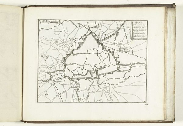
Dimensions: height 435 mm, width 510 mm
Copyright: Rijks Museum: Open Domain
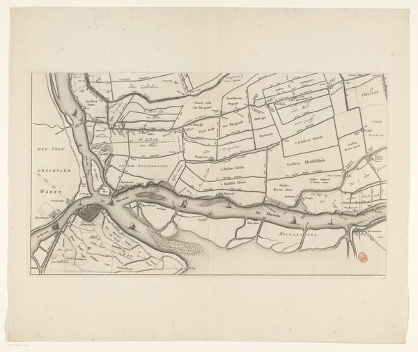
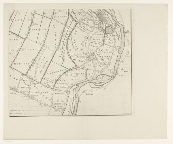
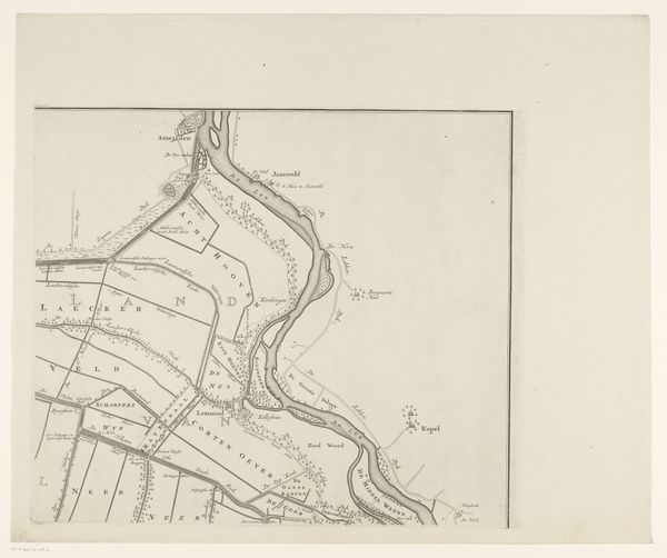
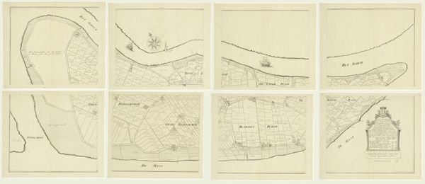
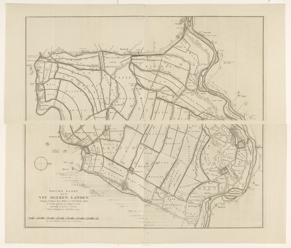
Curator: This is a section of the "Kaart van de Vijfheerenlanden," created between 1741 and 1787 by Jan van Jagen, utilizing etching and engraving. What's your immediate take on this piece? Editor: Austere. Stark. The precision in those engraved lines, delineating plots of land... it speaks to a certain ownership, a control asserted over the landscape. There’s a deliberate coolness in the way the etching renders the land almost clinically. Curator: Indeed. These maps served as tools for governance, land management, and the consolidation of power. The Vijfheerenlanden, or "Five Lords Lands," was a region with its own complex political history within the Dutch Republic. Editor: Precisely. One can almost trace the hand of the surveyors, the ink adhering to the copper plate, the laborious printing process – a direct result of the feudal system, translated into a material form. We should not gloss over the socio-economic reality it lays bare. Curator: The engraving allowed for relatively widespread distribution, making this visual representation of property accessible to administrators and landowners, thus reinforcing their authority. Look at the detailed divisions, the carefully labeled plots—it's an assertion of dominance, codified. Editor: And consider the resources! Copper, ink, paper, the skilled labor to execute the etching, the transportation... each contributing to the artwork’s statement on the era's means of production and distribution of wealth. Curator: Good point. It reflects the evolution of cartography into a key tool for social organization and territorial control, demonstrating how even something as seemingly neutral as a map played a vital role in shaping socio-political landscapes. Editor: Right, this isn’t just some aesthetically pleasing landscape; it's a document detailing control and material implications on the population. Understanding those factors makes appreciating the art a valuable learning exercise. Curator: Absolutely, analyzing art objects like maps allows us to examine historical attitudes towards land ownership, governance, and social order. Thanks to advancements, our vision extends much farther than simply reading what we view.
Comments
No comments
Be the first to comment and join the conversation on the ultimate creative platform.
More like this