drawing, print, ink, pen, engraving, architecture
#
architectural sketch
#
drawing
#
baroque
#
mechanical pen drawing
# print
#
old engraving style
#
linework heavy
#
ink
#
sketchwork
#
geometric
#
pen-ink sketch
#
thin linework
#
line
#
pen work
#
pen
#
cityscape
#
history-painting
#
storyboard and sketchbook work
#
engraving
#
architecture
#
initial sketch
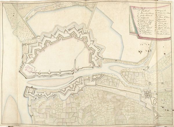
Dimensions: height 425 mm, width 540 mm
Copyright: Rijks Museum: Open Domain
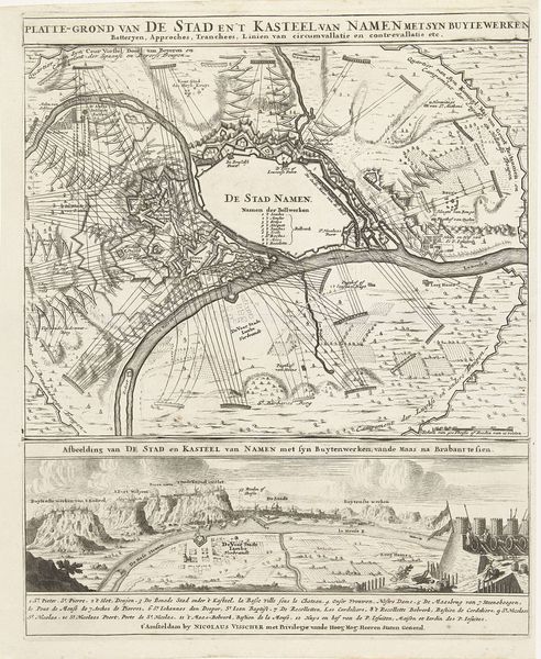
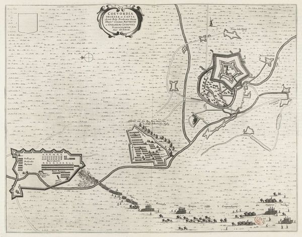
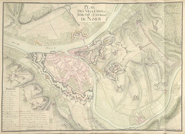
This anonymous print depicts a bird's-eye view of Luxembourg City under siege by French troops in 1684. Created without a known author, the map's visual codes offer insight into the power dynamics of 17th-century European geopolitics. The image isn't just a neutral record; it's a statement about military strategy and national pride. Consider the detailed rendering of fortifications versus the less precise depiction of the surrounding landscape. This reflects the priorities of the time. Luxembourg, with its strategic location, was a pawn in the power struggles between France and the Habsburg Empire. Maps like these were not merely informational; they were tools of war, influencing military planning and public opinion. To understand this print fully, we can turn to military archives, diplomatic correspondence, and period publications. Only through this deeper understanding can we interpret the role of imagery in shaping historical events and political identities.
Comments
No comments
Be the first to comment and join the conversation on the ultimate creative platform.
More like this