drawing, print, ink, engraving
#
drawing
#
baroque
# print
#
pen sketch
#
old engraving style
#
ink
#
cityscape
#
engraving
Dimensions: height 206 mm, width 280 mm
Copyright: Rijks Museum: Open Domain
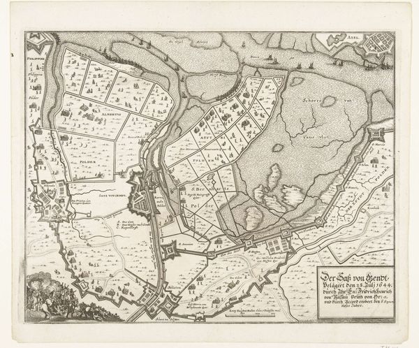
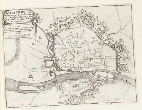
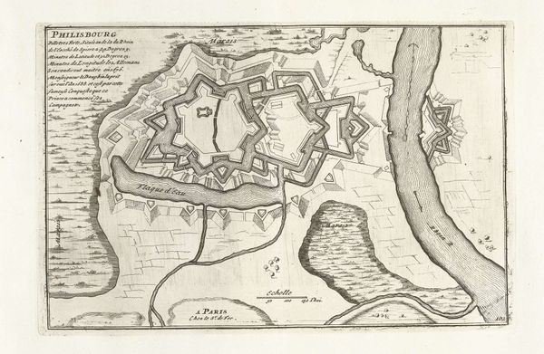
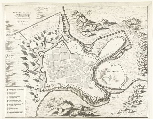
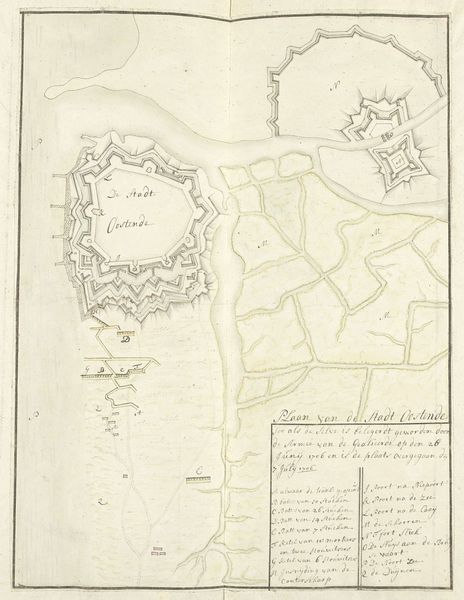
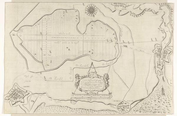
This is an anonymous engraving from around 1702, showing a plan of the French port city of Brest. It offers a glimpse into the way knowledge was codified and power was visualized in the early 18th century. The image creates meaning through its detailed depiction of the city's infrastructure, especially the fortifications designed to protect this vital port. France, under Louis XIV, was a dominant power in Europe, and Brest was a key naval base. The map doesn't just show the city; it asserts French control and projects an image of military strength. The word 'Recouvrance' indicates a sense of recovery or reclamation, perhaps referring to the city's strategic importance after a period of conflict. Understanding this plan requires considering the political and military history of the time, and delving into the archives for further insights into the cartographic techniques and strategic considerations that shaped its creation. The meaning of this image is contingent on its social and institutional context.
Comments
No comments
Be the first to comment and join the conversation on the ultimate creative platform.
More like this