drawing, print, paper, engraving
#
drawing
# print
#
pen sketch
#
old engraving style
#
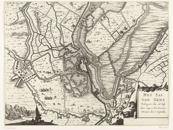
landscape
#
paper
#
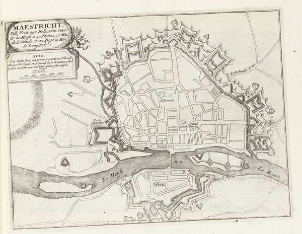
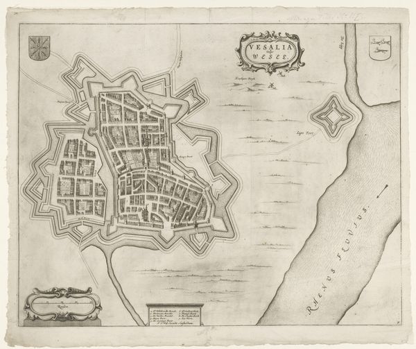
cityscape
#
history-painting
#
engraving
Dimensions: height 370 mm, width 475 mm
Copyright: Rijks Museum: Open Domain
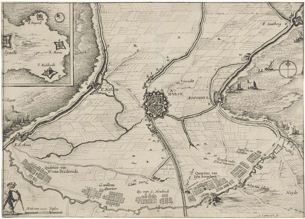
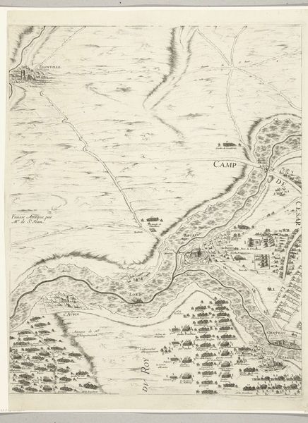
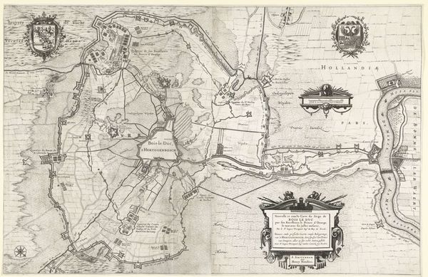
This anonymous map from 1592 depicts the siege of Coevorden, illustrating not just geography but also the psychological landscape of conflict. The star fort, a dominant motif, symbolizes strategic defense. We see this same star motif echoed through history, from ancient city plans to Renaissance fortifications. It is a symbol of protection, of civilization itself, constantly reappearing, adapting to new threats. The ordered encampments and structured siege lines reflect a desire to impose control on chaos, a very human attempt to master the unpredictable nature of war. Think of the emotional weight carried by these representations. Each line, each carefully placed fortification, speaks to the anxieties and aspirations of the people who lived through this siege. The map captures a moment of intense pressure, a collective memory etched in ink, reminding us that even in the most rational of plans, the irrational forces of fear and hope always play their part. This cyclical pattern of conflict and defense is a recurring theme in human history.
Comments
No comments
Be the first to comment and join the conversation on the ultimate creative platform.
More like this