drawing, print, paper, engraving
#
drawing
#
aged paper
#
toned paper
#
baroque
# print
#
pen sketch
#
old engraving style
#
paper
#
personal sketchbook
#
pen-ink sketch
#
pen and pencil
#
pen work
#
sketchbook drawing
#
cityscape
#
sketchbook art
#
engraving
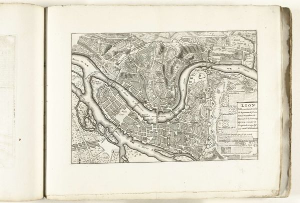
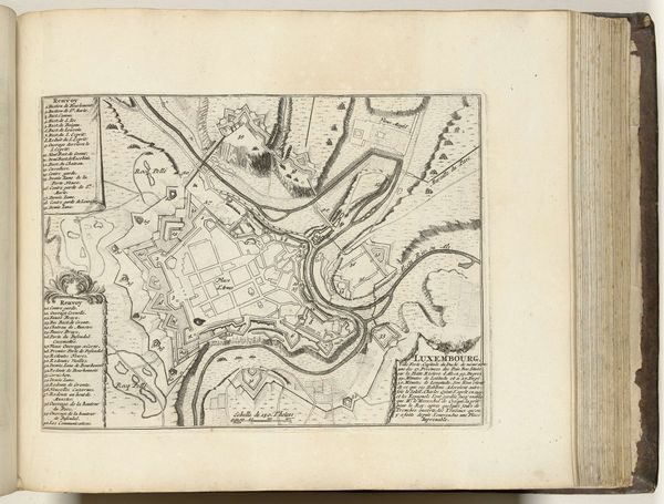
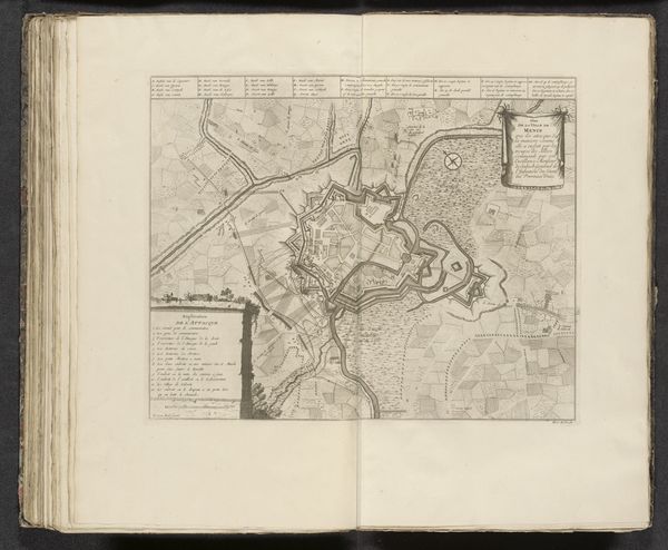
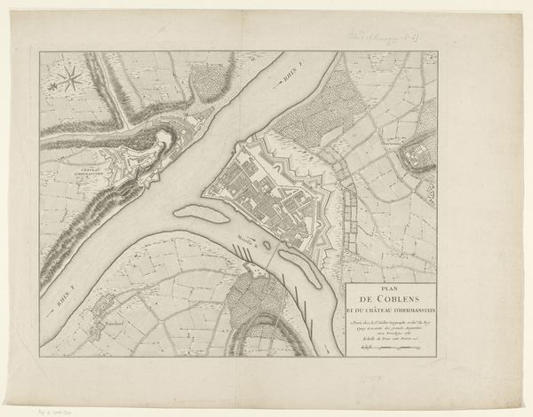
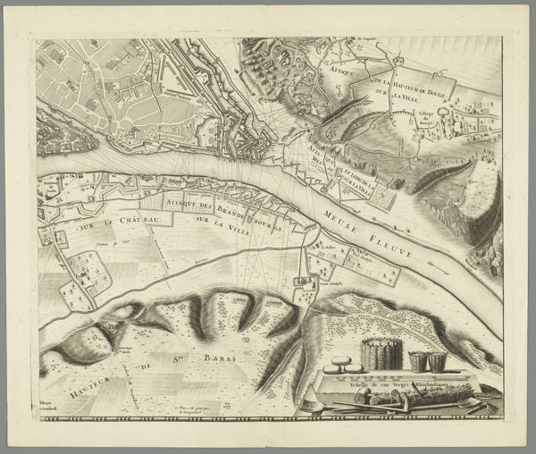
Dimensions: height 222 mm, width 318 mm
Copyright: Rijks Museum: Open Domain
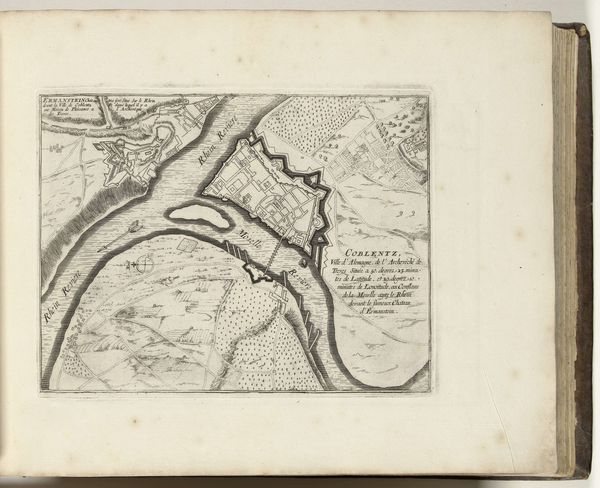
This is an anonymous print of Lyon made in 1726. Maps like this one were not just neutral records of geographical space. Rather, they served to convey specific ideas about territory and power. Consider the way Lyon is depicted here. The city is neatly organized, its buildings rendered in meticulous detail. The rivers Saône and Rhône are shown as vital arteries, while the surrounding hills suggest a natural fortress. This isn't just a map; it's a statement about Lyon's strategic and economic importance in the 18th century. This print was made during the reign of Louis XV, a period of relative peace and prosperity for France. Lyon, as a major center of trade and manufacturing, played a crucial role in this economic growth. Maps like this one would have been commissioned by civic authorities eager to promote the city's image. To truly understand this print, we would need to delve into the archives, examining the records of Lyon's municipal government and the correspondence of its leading citizens. In doing so, we can uncover the social and institutional forces that shaped its production.
Comments
No comments
Be the first to comment and join the conversation on the ultimate creative platform.
More like this