print, etching
#
neoclassicism
# print
#
etching
#
etching
#
personal sketchbook
#
geometric
#
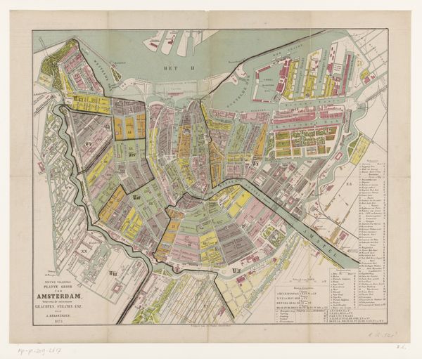
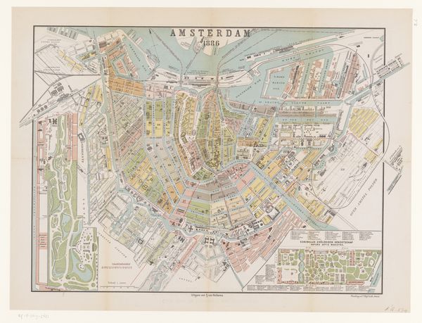
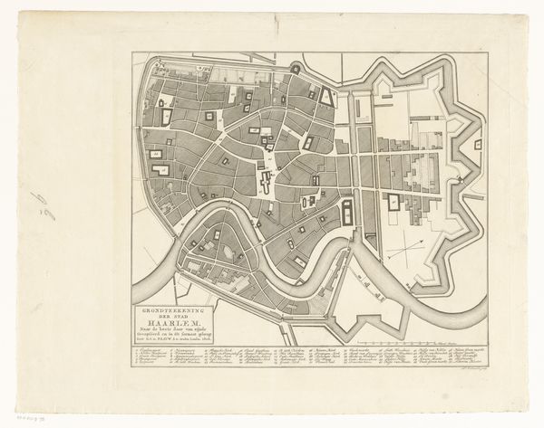
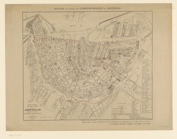
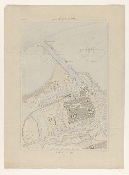
cityscape
Dimensions: 12 1/16 × 15 1/8 in. (30.64 × 38.42 cm) (image)
Copyright: Public Domain
William Barnard Clarke's "Map of Munich," presents us with more than just streets and buildings. Look at how the city is arranged, encircled, almost embraced, by the river. Rivers, throughout art history, have been represented as borders and sources of life. Here, the river Isar becomes Munich's protector, its waters a lifeline. Think of ancient Egypt and the Nile, or Rome and the Tiber. In each case, the river’s presence shapes not just the geography, but the destiny of the civilization that depends upon it. The silhouette of the city skyline is the key to understanding the soul of a place. The rising spires and domes, piercing the sky, are not unlike hands clasped in prayer. This posture of reaching toward the heavens, seen from antiquity through the Renaissance, expresses a collective desire for the divine. It's a shared subconscious yearning reflected in stone and mortar. Notice how it has resurfaced, evolved, and taken on new meanings across history.
Comments
No comments
Be the first to comment and join the conversation on the ultimate creative platform.
More like this