c. 1700 - 1728
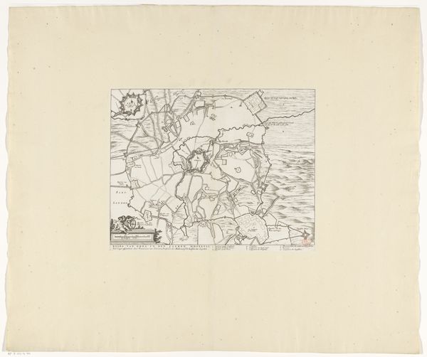
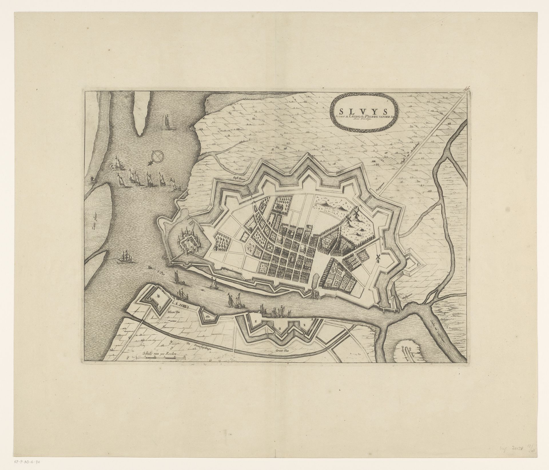
Plattegrond van Sluis
Anonymous
@anonymousLocation
RijksmuseumListen to curator's interpretation
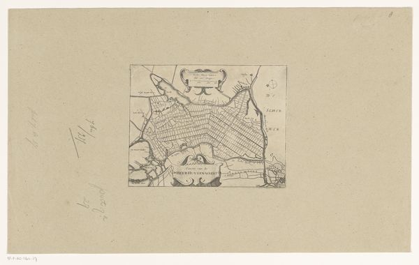
Curatorial notes
This is an anonymous bird's-eye view of Sluis, rendered in meticulous lines. The star-shaped fortifications dominating the image are more than mere military architecture; they are potent symbols of protection and control, designed to ward off invaders and project power. Such fortifications echo the ancient Roman castra, or military camps, which imposed order on the landscape. This motif has been continually reimagined across time, from medieval castles to modern military installations. It speaks to a universal impulse to defend and define territory. The sharp angles and precise geometry evoke a sense of vigilance, mirroring the perpetual state of readiness required to protect the city. Here, the map becomes a psychological projection of fear and the need for security, revealing how human anxieties are translated into concrete forms. The non-linear progression of this symbol—fortifications—resurfaces, evolves, and takes on new meanings in different historical contexts.