print, etching, engraving
#
dutch-golden-age
# print
#
etching
#
landscape
#
etching
#
geometric
#
cityscape
#
engraving
Dimensions: height 405 mm, width 502 mm
Copyright: Rijks Museum: Open Domain
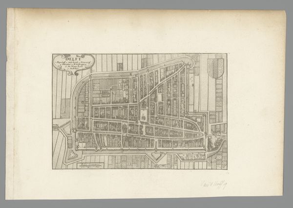
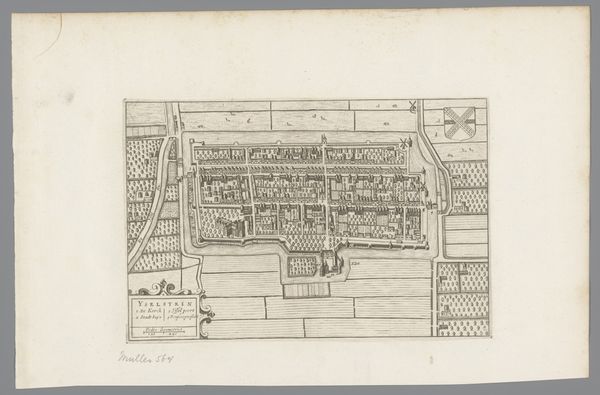
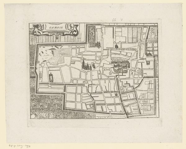
This is an anonymous engraving of the Dutch city of Delft. It renders the city and the surrounding area as seen from directly above. Produced during the Dutch Golden Age, this detailed map reflects the era’s commercial prosperity and the importance of cartography. Delft, a hub for trade and industry, needed precise urban plans for administrative and military purposes. The map meticulously details the city’s layout, illustrating its grid-like structure, waterways, and fortifications. Such visual precision enhanced Delft's status, showcasing its order and modernity. This piece also speaks to the institutional history of the period, as powerful organizations such as the Dutch East India Company had invested heavily in cartography. As art historians, we use maps and documents from the period to reconstruct the social and economic conditions that shaped Delft. This plan is more than just a geographical representation, it’s a statement about power, knowledge, and the urban environment.
Comments
No comments
Be the first to comment and join the conversation on the ultimate creative platform.
More like this