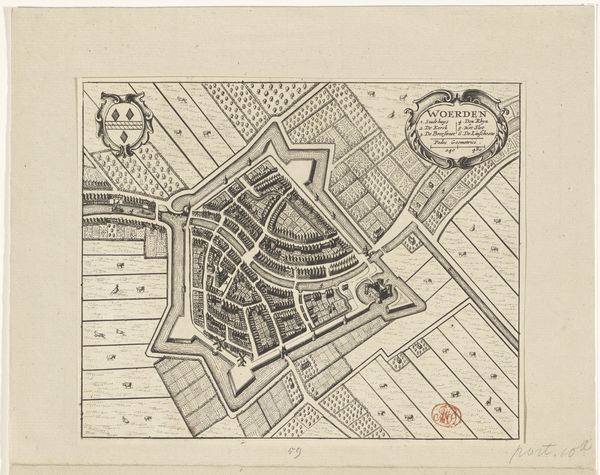
print, etching, engraving
#
baroque
# print
#
etching
#
cityscape
#
engraving
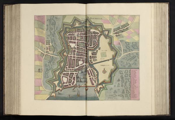
Dimensions: height 103 mm, width 151 mm, height 532 mm, width 320 mm
Copyright: Rijks Museum: Open Domain
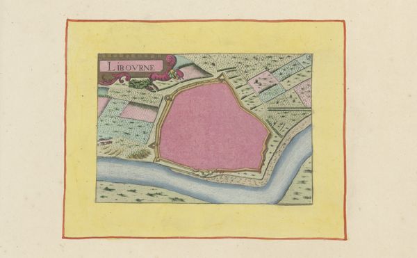
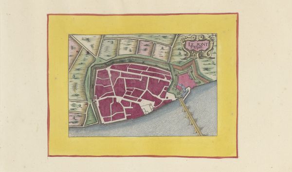
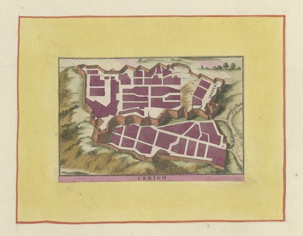
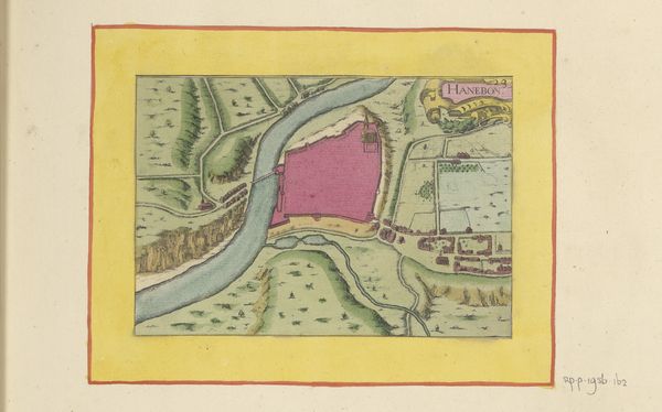
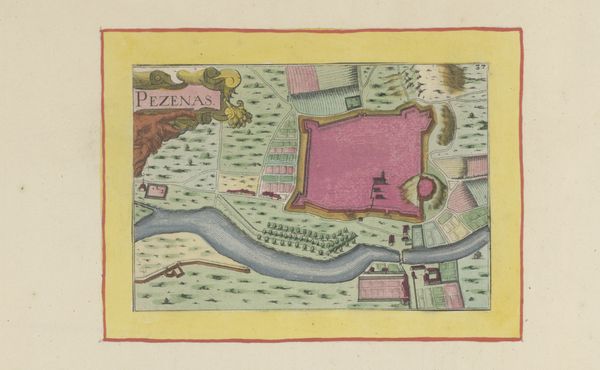
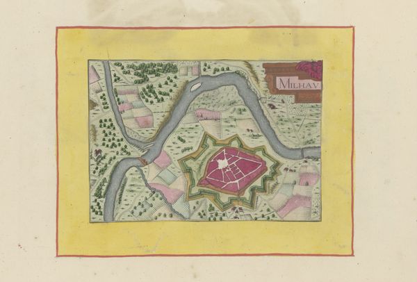
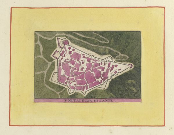
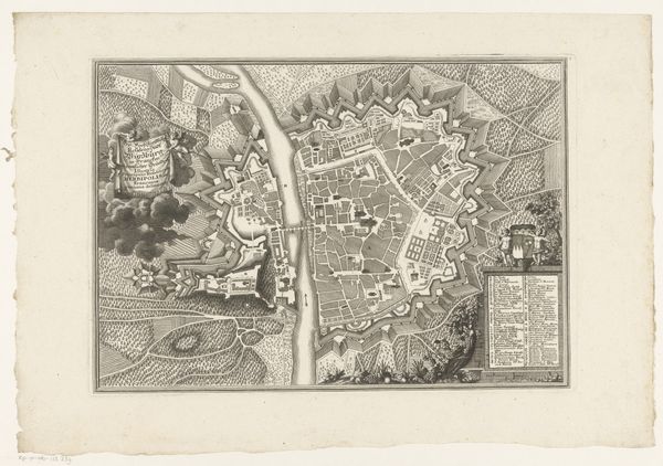
Editor: This print, *Plattegrond van La Rochelle*, from 1638 is a fascinatingly ornate city plan rendered with etching and engraving. It strikes me as both functional and incredibly decorative. What jumps out at you when you look at this? Curator: What a wonderful artifact of cartographic symbolism! The colors themselves carry immediate weight. Notice the walled city rendered in bold reds and fortified greens; these were, literally and figuratively, the heart of La Rochelle. Editor: So, the colors aren't just aesthetic? Curator: Rarely. The surrounding landscape uses softer blues and pinks, colors often associated with the Virgin Mary, who was considered the protector of cities. Think about what that color palette, its intentionality, suggests about the priorities and worldview of the time. Editor: A divine, feminine protection contrasted against the masculine fortress? Curator: Precisely! Even the stylized ships hint at trade and the sea's bounty, common symbolic tropes in cityscapes. Do you see how the river and roads all converge on the fortified area? The composition drives the eye towards safety, community, and religious protection. Editor: The whole plan feels very controlled, designed, almost like a stage. Curator: Indeed. It’s less about geographical accuracy and more about conveying an idealized image, perhaps even a reassurance of power and divine order during uncertain times. The map becomes a symbol of civic pride and heavenly sanction. Editor: I hadn’t considered how deeply embedded the symbolism is in something as seemingly straightforward as a map! I’ll never look at a cityscape the same way. Curator: And I find myself wondering: What would a map *today* communicate about *our* sense of community and security? What symbols would we prioritize?
Comments
No comments
Be the first to comment and join the conversation on the ultimate creative platform.
More like this