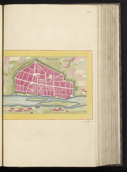
drawing, paper, ink
#
drawing
#
baroque
#
paper
#
ink
#
cityscape
#
history-painting
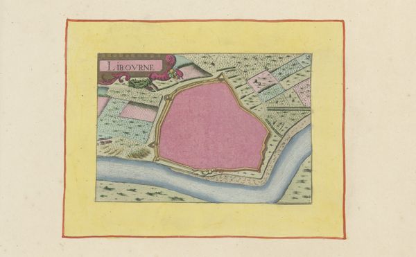
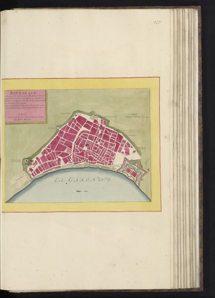
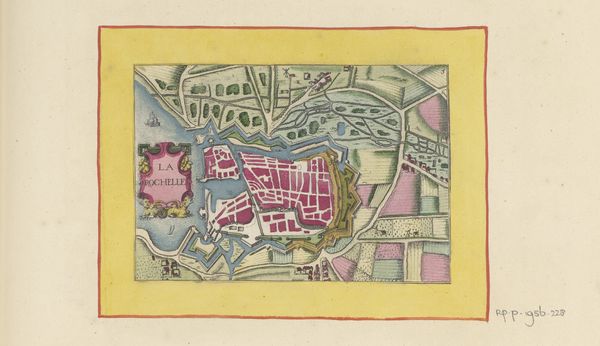
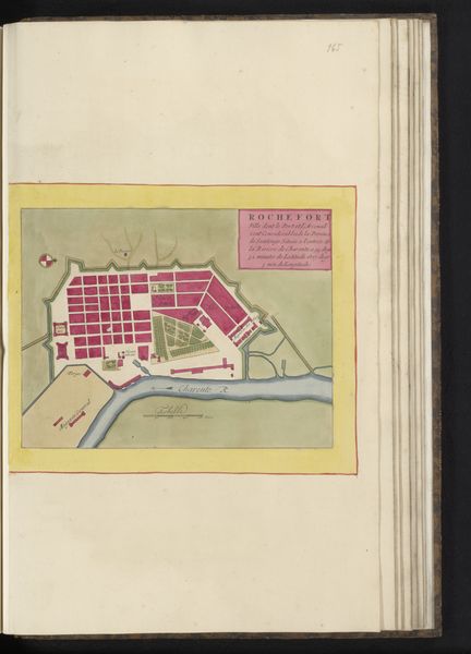
Dimensions: height 105 mm, width 150 mm, height 532 mm, width 320 mm
Copyright: Rijks Museum: Open Domain
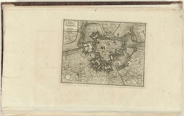
Editor: So, here we have "Plattegrond van Pont-Saint-Esprit", made in 1638 by an anonymous artist, using ink on paper. I find it interesting how the cityscape is rendered so flatly, almost abstract. How should we approach interpreting this work? Curator: Let's consider the labor involved in its creation. The anonymous artist meticulously rendered this plan with ink on paper, likely one of many such maps produced to serve the burgeoning administrative and military needs of the time. Think about the societal demands influencing the material production of images like this. Editor: You mean how the rising power of states needed maps to control territories? Curator: Precisely. It also allows us to challenge traditional art historical hierarchies. We might typically separate fine art drawing from functional cartography, but by looking at the shared materials and labor processes, those boundaries become much less clear. The consumption of such images by the elite also reflects larger societal power structures. Editor: So it's not just about the aesthetic value, but the materials and their journey. The ink, the paper... who made those, too? And how did this map serve as a tool within a power dynamic? Curator: Exactly! The flatness, which you noticed, could also be tied to efficiency of production for mass consumption by those in power rather than aesthetic artistic exploration.. What was required by its commissioners or purchasers versus any inherent artistic urge from its maker? Editor: I never considered maps this way, as reflecting not just geography, but also the socio-economic landscape of their creation. Thanks! Curator: It is by exploring this connection between materials, labor, and societal forces that our understanding of art evolves.
Comments
No comments
Be the first to comment and join the conversation on the ultimate creative platform.
More like this