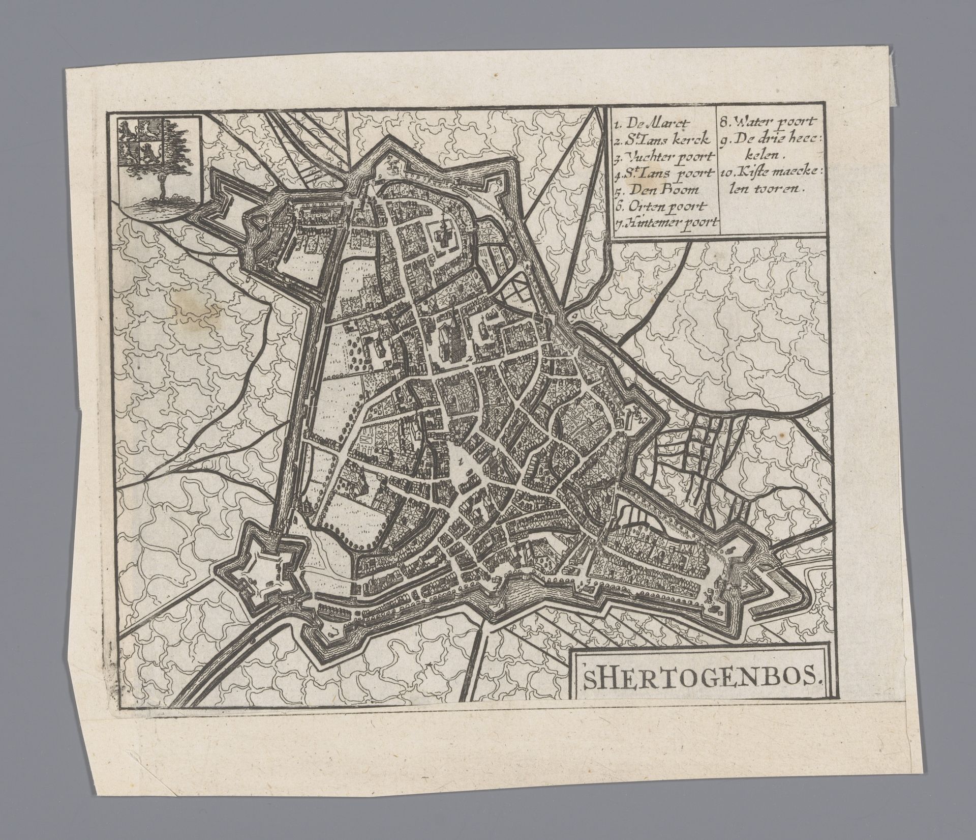
1652
Plattegrond van Den Bosch
Anonymous
@anonymousLocation
RijksmuseumListen to curator's interpretation
Curatorial notes
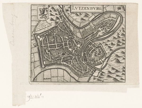
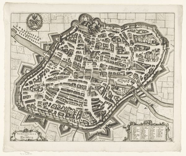
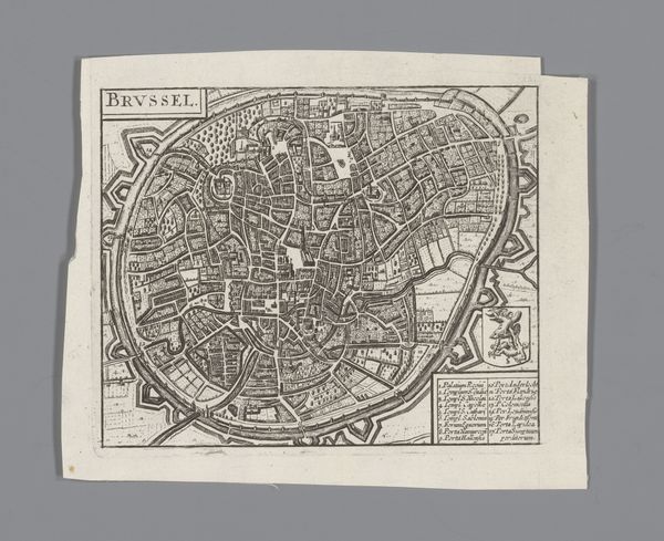
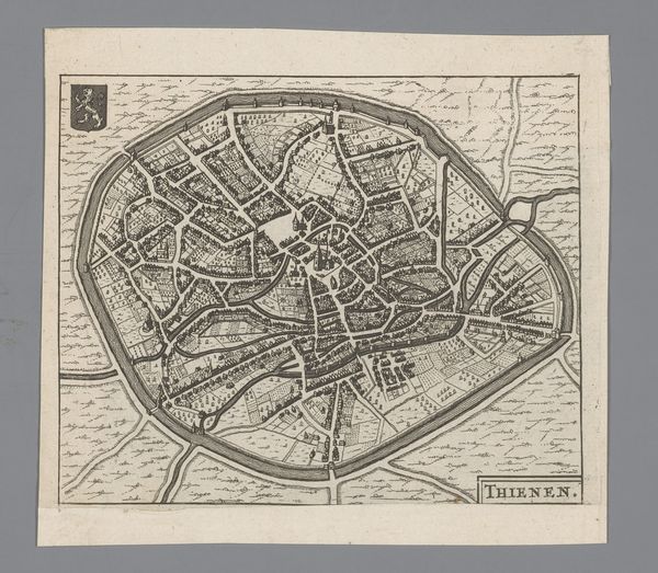
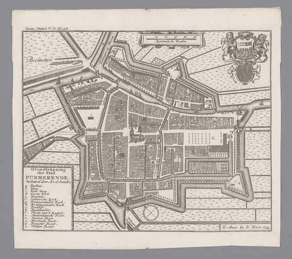
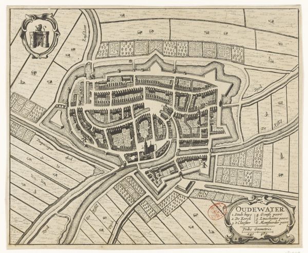
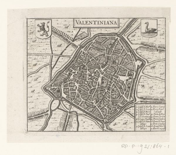
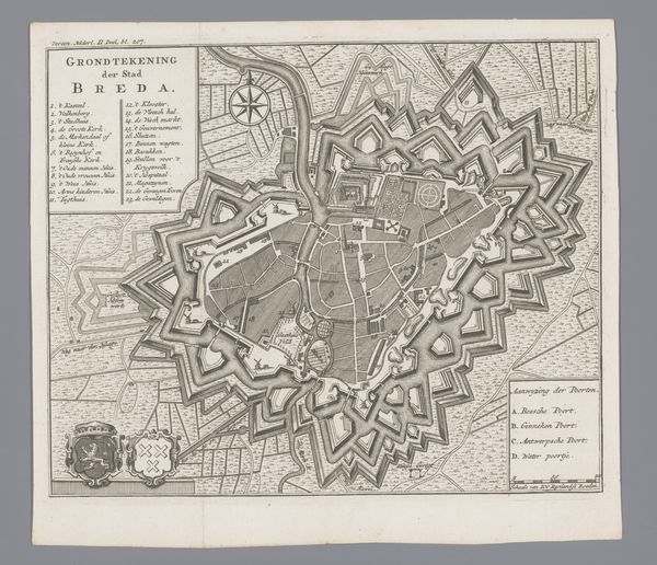
This is an anonymous map of Den Bosch, made with engraving. Cartography is more than just lines on a page; it's about power, identity, and how we see ourselves in the world. Think about what it meant to map a city in a time of political tensions and colonial expansion. Maps weren't neutral; they were tools used to claim space, define borders, and establish control. Consider the act of mapping itself. Who had the power to decide what was included, what was left out? How might that affect the people who lived there? The very act of creating this map reflects the identity and worldview of its makers, their ambitions, and their place in society. Consider how this shapes our understanding of the city and its inhabitants. This map prompts us to consider how societal structures influence our perception and representation of the world around us.