About this artwork
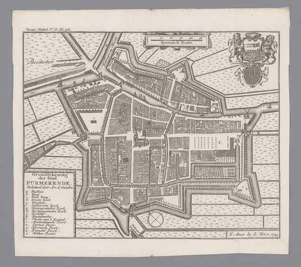
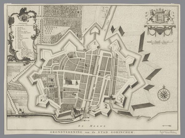
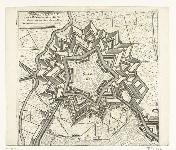
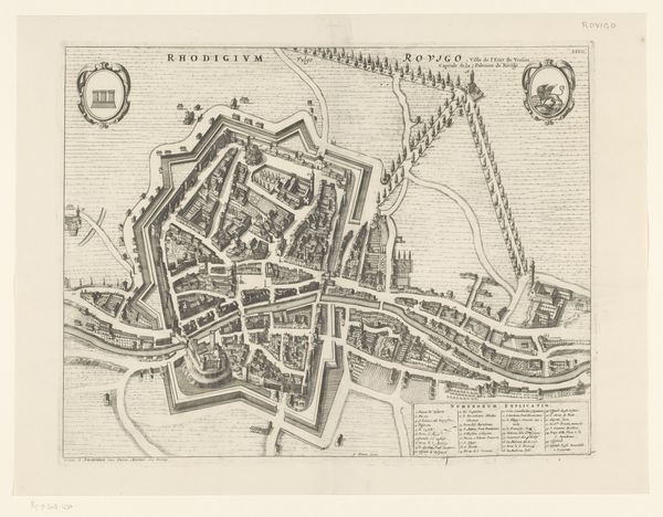
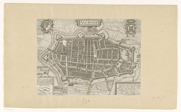
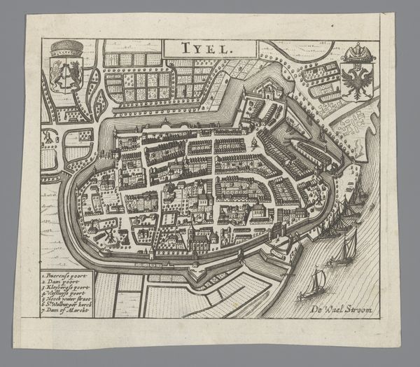
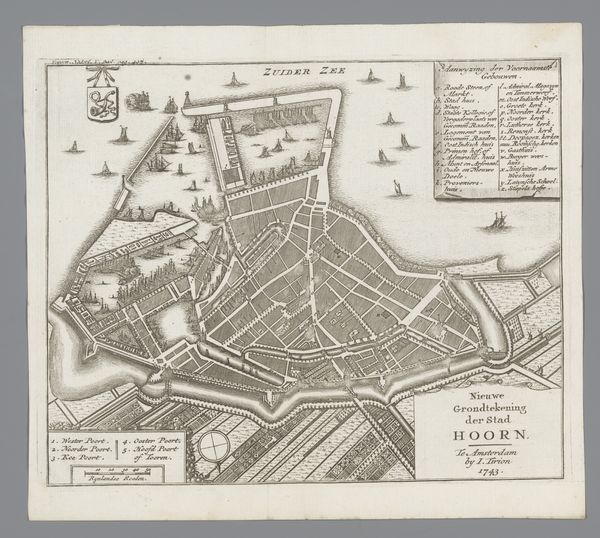
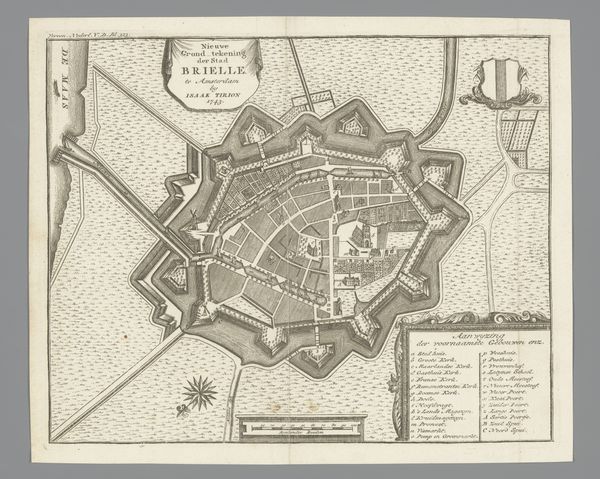
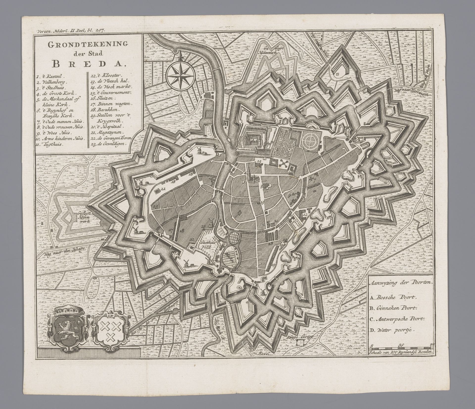
This is an undated anonymous print of “Plattegrond van Breda” found at the Rijksmuseum. This detailed map provides a fascinating snapshot into the historical and cultural context of Breda, Netherlands. Reflect on what it meant to map a city. Consider the act as a form of control and knowledge at a time when cartography was intertwined with power and governance. This map not only represents the physical layout of Breda but also signifies the social and political structures that shaped the lives of its inhabitants. Notice how the city is fortified. How did this affect daily life? And who was allowed in? The emotional dimension of this map lies in its ability to transport us back in time, inviting us to contemplate the lives and experiences of those who once navigated its streets. It prompts us to question whose stories are told and whose are left out. Consider the way the map documents and shapes societal issues of safety, identity, and community.
Artwork details
- Medium
- drawing, print, engraving
- Dimensions
- height 179 mm, width 217 mm
- Location
- Rijksmuseum
- Copyright
- Rijks Museum: Open Domain
Tags
drawing
baroque
perspective
geometric
line
cityscape
engraving
Comments
No comments
About this artwork
This is an undated anonymous print of “Plattegrond van Breda” found at the Rijksmuseum. This detailed map provides a fascinating snapshot into the historical and cultural context of Breda, Netherlands. Reflect on what it meant to map a city. Consider the act as a form of control and knowledge at a time when cartography was intertwined with power and governance. This map not only represents the physical layout of Breda but also signifies the social and political structures that shaped the lives of its inhabitants. Notice how the city is fortified. How did this affect daily life? And who was allowed in? The emotional dimension of this map lies in its ability to transport us back in time, inviting us to contemplate the lives and experiences of those who once navigated its streets. It prompts us to question whose stories are told and whose are left out. Consider the way the map documents and shapes societal issues of safety, identity, and community.
Comments
No comments