Curatorial notes
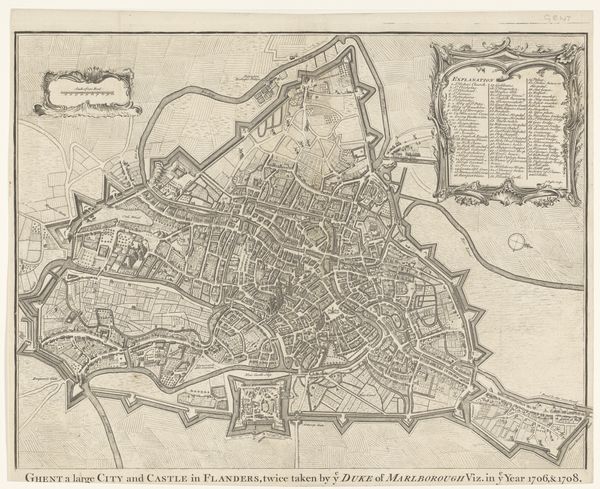
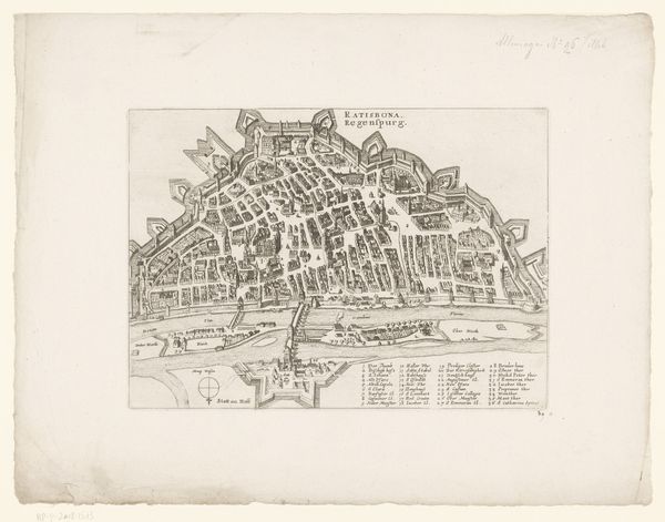
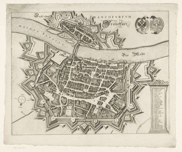
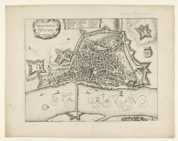
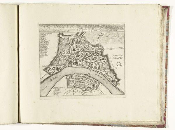
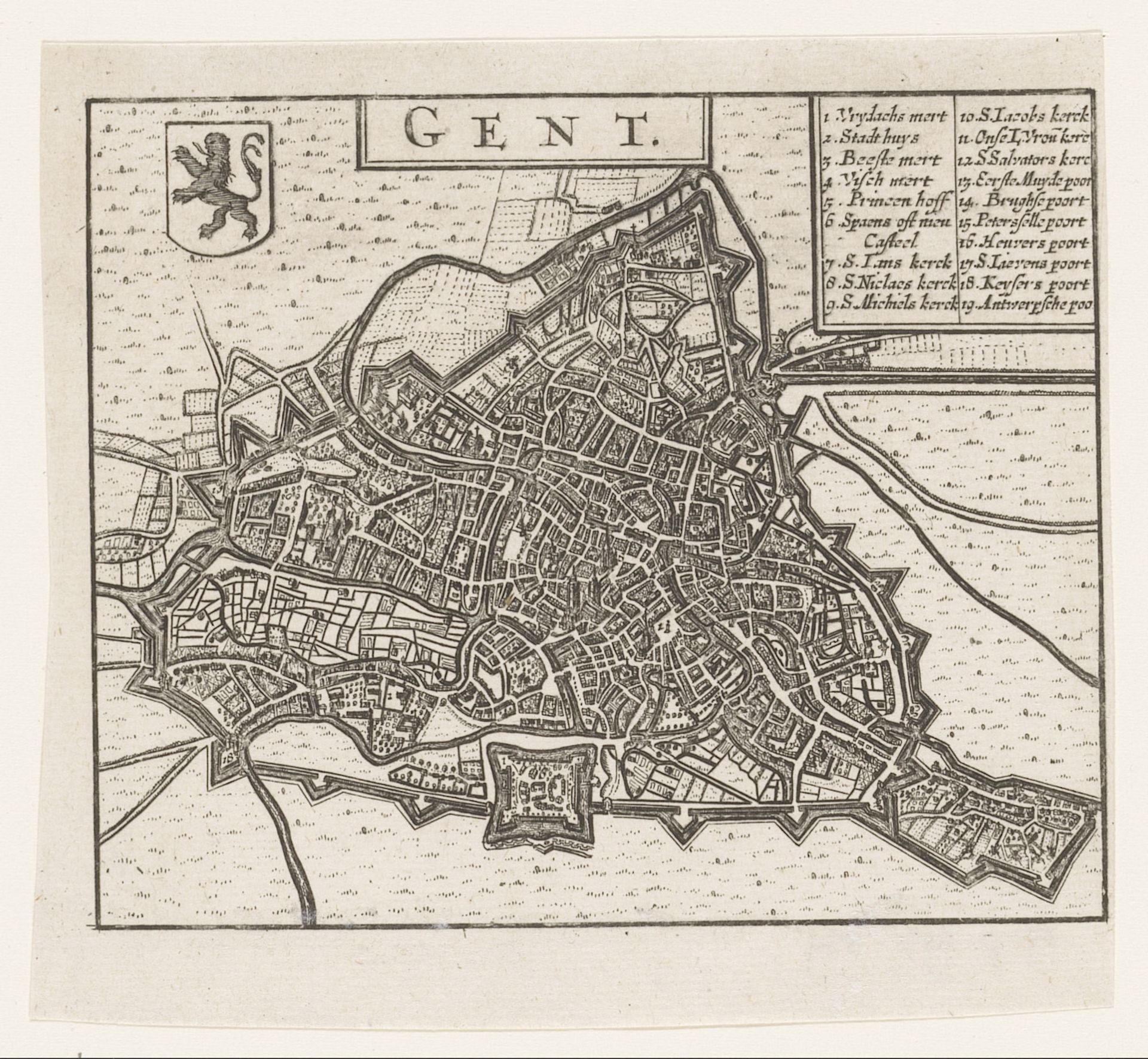
Editor: We're looking at a print called "Plattegrond van Gent," created in 1652 by an anonymous artist. It's an engraving, a detailed map of the city. I'm struck by how orderly everything appears, almost like a military blueprint. How does this image speak to you? Curator: This map offers a window into 17th-century Gent, not just geographically but politically and socially. Consider the date, 1652. This is still within the long shadow of the Eighty Years' War, a period of intense conflict between the Dutch Republic and Spain. Editor: So, it wasn't just about geography? Curator: Not at all. Mapping was a strategic tool. Note the fortifications, the city walls meticulously depicted. What does that emphasis tell you about the priorities of the society that commissioned and used this map? It reveals anxiety over territory. Control wasn't just about possessing land; it was about visual representation of power. This image also functions as a source of civic pride. Editor: That makes sense. I initially saw order, but now I see anxiety, as well. Was this kind of city mapping common? Curator: Increasingly so. Printmaking allowed for wider dissemination of knowledge and propaganda. These maps weren't just hanging in noble houses. They were circulating, shaping public understanding of space and belonging. What do you think the impact was of average citizens having a view of their city like this? Editor: Hmm, that's something to think about – it possibly created a feeling of shared identity and civic pride? Thanks for widening my view! Curator: Indeed. Looking at art as a reflection of socio-political forces provides so many answers and deeper understanding of the moment it represents.