drawing, ink
#
drawing
#
baroque
#
ink
#
cityscape
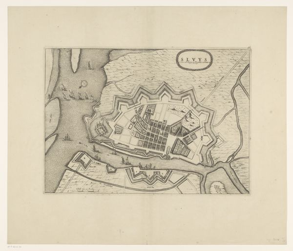
Dimensions: height 361 mm, width 251 mm
Copyright: Rijks Museum: Open Domain
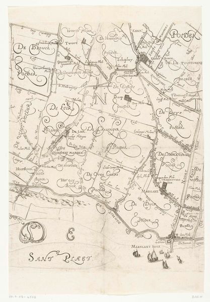
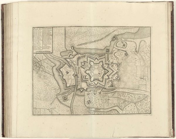
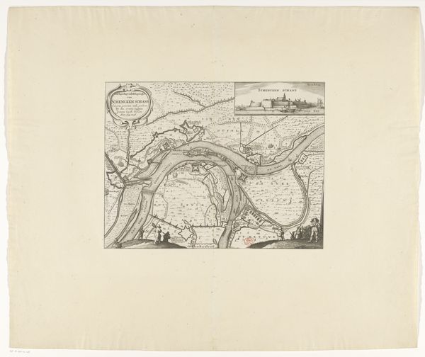
This is an anonymous map of Sas-van-Gent, created in 1644. The drawing, with its detailed lines and geometric forms, offers us a glimpse into the 17th-century world of cartography and military strategy. Notice how the central fortress dominates the composition. Its star shape, typical of the period's fortifications, is rendered with meticulous precision, emphasizing the importance of geometric planning in warfare. The surrounding landscape, filled with fields and waterways, is covered with a chaotic network of cursive handwriting. The map employs a semiotic system where lines, shapes, and textual annotations converge. In this context, the handwriting acts not merely as labels, but as signs of ownership and administration. The map becomes a symbolic representation of power and control, mediated through the formal language of geometry and the symbolic script of human documentation. The artwork offers a structured vision of a territory and its administration.
Comments
No comments
Be the first to comment and join the conversation on the ultimate creative platform.
More like this