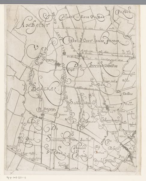
drawing, ink
drawing
dutch-golden-age
landscape
ink
geometric
line
Dimensions: height 410 mm, width 300 mm
Copyright: Rijks Museum: Open Domain
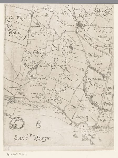
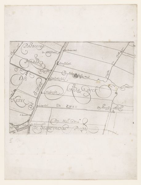
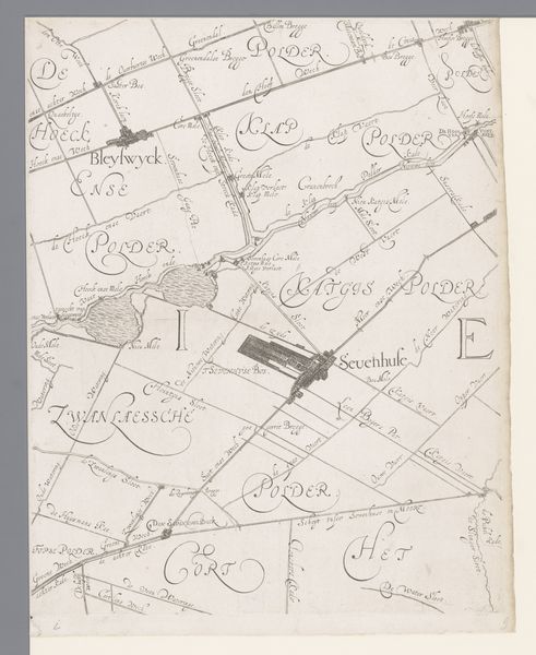
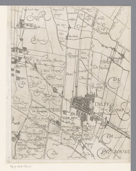
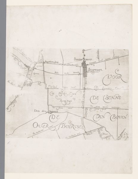
Editor: Here we have Floris Balthasarsz van Berckenrode’s “Kaart van Delfland (blad midden onder),” a drawing in ink from 1612, held at the Rijksmuseum. It’s a landscape, but so geometric… Almost abstract. What do you see in this piece? Curator: This isn’t just a landscape; it’s a powerful document reflecting the Dutch Golden Age. Look at how precisely the land is mapped, how meticulously the “polders” are defined. This reflects a culture obsessed with controlling and managing its environment, wresting land from the sea. This map is also about power: who owns the land, who benefits from its use, who gets erased from the narrative? Think about the labor involved in creating and maintaining these polders - where are those stories represented? Editor: So, you're saying it's not just a practical map, but also a representation of societal values and power dynamics? Curator: Exactly. Maps are never neutral. They reflect the worldview of those who create them. Berckenrode, as a land surveyor, was participating in shaping not just the physical landscape but also the social and economic order. The very act of surveying and dividing land has immense political implications, doesn't it? Editor: That's really interesting! I’d never considered maps as political statements. This makes me wonder about the communities that might have been displaced or exploited in the process of creating these polders. Curator: Precisely! Who decided whose land was to be drained? Who controlled the water? What were the ecological consequences? Consider the map a starting point for an investigation into the intersection of landscape, labor, and power. It provokes complex questions of spatial justice and land distribution. Editor: Wow, I'll definitely look at maps differently now. It’s more than just geographic information; it's a historical and political narrative. Curator: And remember, visual representations play an active part in creating realities!
Comments
No comments
Be the first to comment and join the conversation on the ultimate creative platform.