print, engraving
#
dutch-golden-age
# print
#
landscape
#
geometric
#
line
#
cityscape
#
engraving
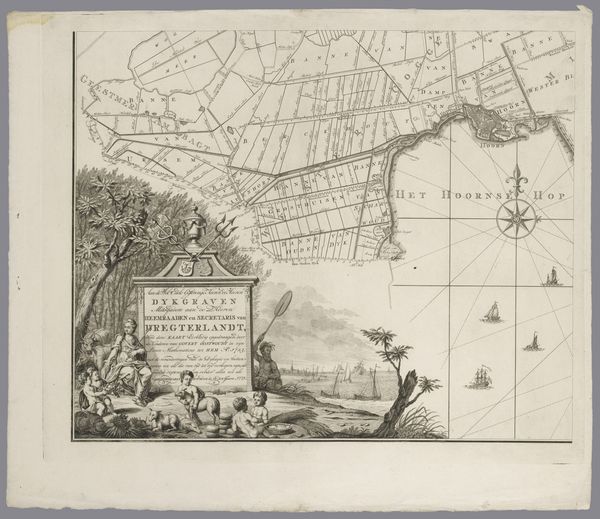
Dimensions: height 520 mm, width 600 mm
Copyright: Rijks Museum: Open Domain
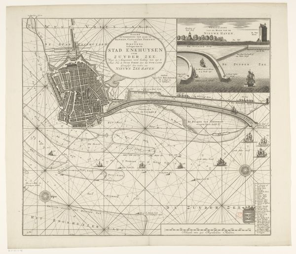
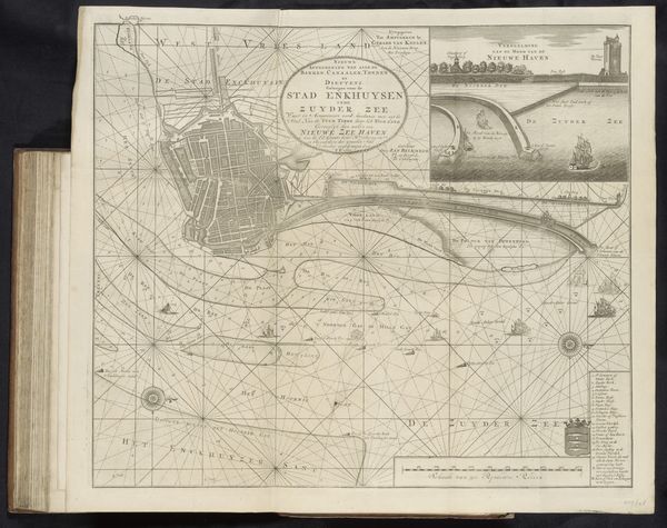
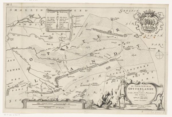
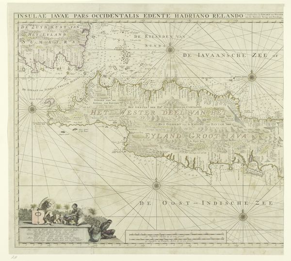
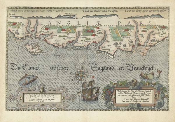
Editor: Here we have an engraved print titled "Kaart van het water voor Enkhuizen met de geprojecteerde nieuwe haven, 1720," dating back to 1720 by an anonymous artist. It depicts a map of Enkhuizen, with a fascinating grid overlaid. How do you interpret this work, particularly given its detailed depiction of both the existing and projected harbor? Curator: This isn't just a map; it's a powerful statement about Dutch ambition and control over their environment during the Golden Age. Consider the intense relationship between the Dutch Republic and water. Mapping technology advanced dramatically because of economic necessity and strategic defense. Editor: So the precision we see reflects a societal push, not just artistic expression? Curator: Precisely. These maps weren’t merely navigational tools; they were instruments of power, illustrating the human drive to impose order on the natural world. Notice how the geometric lines dissect the organic forms of the land and sea, representing an imposition of a grid-like, capitalist rationality. Where did that drive come from? Editor: Probably economics, commerce and trade and exploration, right? Curator: And that mercantile imperative drove colonial expansion and exploitation across the globe, impacting indigenous populations and their land. Cartography wasn't neutral; it was deeply enmeshed in constructing colonial power. In what ways can the language and conventions of this image be seen as actively building power for the Dutch and erasing that of others? Editor: I never considered the ethical implications embedded within seemingly objective mapping. It really makes you think about whose perspectives are prioritized and whose are erased in visual representations of space. Curator: Exactly. And hopefully, thinking critically about such maps can make us better attuned to these subtle but profound power dynamics operating today.
Comments
No comments
Be the first to comment and join the conversation on the ultimate creative platform.
More like this