drawing, paper, ink
#
drawing
#
baroque
#
paper
#
ink
#
coloured pencil
#
geometric
#
cityscape
Dimensions: height 120 mm, width 170 mm
Copyright: Rijks Museum: Open Domain
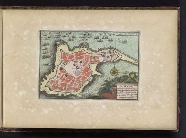
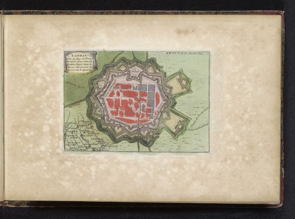
This is a printed map of Vienna, made anonymously at an unknown date. As a visual document, the ‘Plattegrond van Wenen’ speaks volumes about the city's identity. The detailed, star-shaped fortifications reveal Vienna’s strategic importance as a bulwark against outside threats. The rivers and surrounding green spaces give shape to the physical environment, with the city’s heart represented by its inner buildings. Made in the Netherlands, its Dutch title ‘Plan van Weenen’ reflects the Netherlands’ powerful cartographic industry during this period. Maps such as this served the purposes of statecraft, giving rulers insight into their territories and the means to defend them. It also reflects the growing awareness of geographical space that developed alongside early globalization. By consulting military archives and trade records, we can understand the broader story this map tells us. The meaning of this image is contingent on its historical moment, and the narratives it served.
Comments
No comments
Be the first to comment and join the conversation on the ultimate creative platform.
More like this