drawing, paper, ink, pen
#
drawing
#
baroque
#
landscape
#
paper
#
ink
#
geometric
#
pen
#
cityscape
#
history-painting
#
miniature
#
watercolor
Dimensions: height 118 mm, width 173 mm
Copyright: Rijks Museum: Open Domain
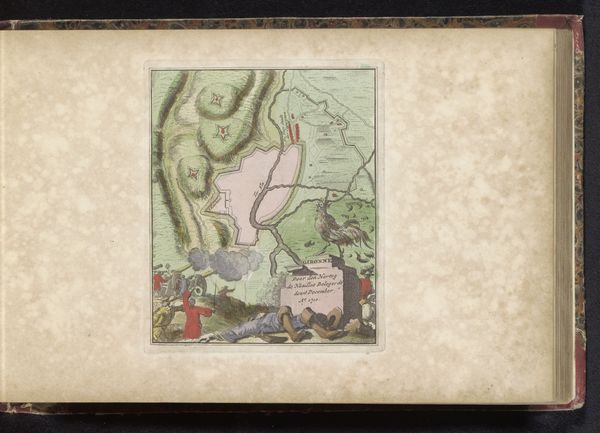
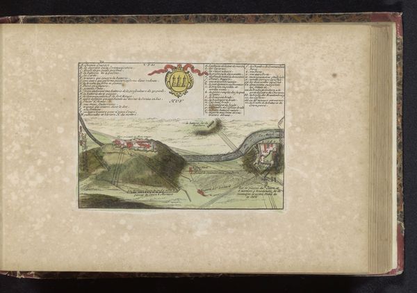
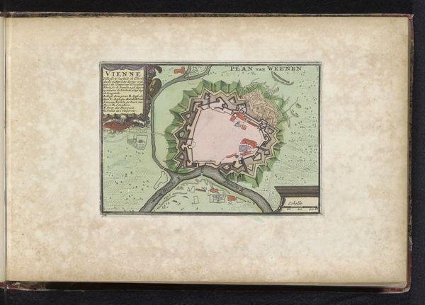
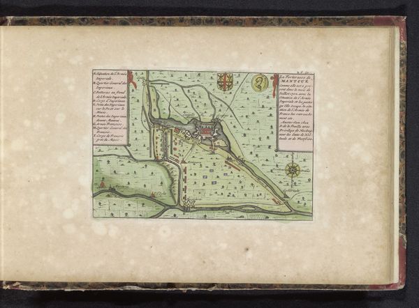
Editor: This is "Plattegrond van Charle-Mont," made around 1735 by an anonymous artist. It looks to be ink on paper, perhaps even a kind of miniature. The cartography gives it an almost abstract quality; what catches your eye in this piece? Curator: What interests me most is how this drawing speaks to the labour and resources invested in creating and maintaining fortifications. Pen, ink, and paper weren't simply artistic materials, they were tools of power used to visualise, strategise, and control territory. Who was this map created for, and how did it influence material realities? Editor: That's an interesting perspective. I was more drawn to the aesthetic, its balance. But, thinking about it, what sort of work would have gone into both making this artwork as well as the fortifications represented? Curator: Exactly. Consider the skilled labor involved: the draftsman meticulously rendering each line, the craftsmen constructing the fortifications themselves. The availability and cost of materials - ink, paper, stone, earth - all point to systems of patronage and social hierarchies inherent within baroque society. Where does art exist within a society? Is it propaganda, functional, beautiful, or perhaps all of the above? Editor: I guess I had only considered art from a design perspective, but I’m beginning to see that the drawing and construction reflects so much about the era. Curator: Precisely! By examining the physical traces of production we reveal the power dynamics and social conditions in which both the drawing and represented city exist. Editor: Thanks. Now I will be thinking more about the making when I look at artworks. Curator: Likewise, considering its composition aesthetically allowed us to discuss more practical implications and meanings from the piece.
Comments
No comments
Be the first to comment and join the conversation on the ultimate creative platform.
More like this