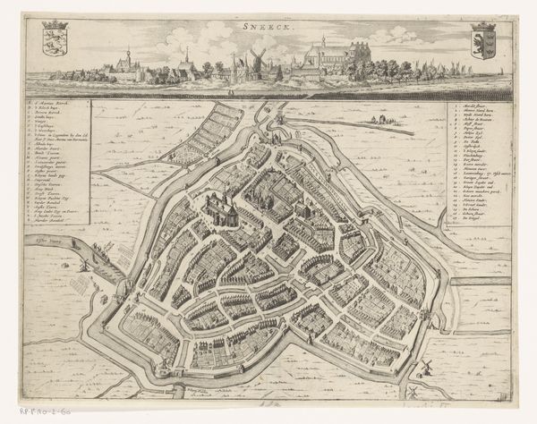
print, engraving
#
baroque
# print
#
cityscape
#
engraving
Dimensions: height 417 mm, width 532 mm
Copyright: Rijks Museum: Open Domain
This is an anonymous bird’s eye view map of Rovigo, showcasing the city's layout with detailed fortifications. Observe how the winged Lion of Saint Mark appears prominently in the upper right, an emblem of Venice, under whose dominion Rovigo once stood. The lion, an ancient symbol of strength and majesty, evolves from pagan solar deities to Christian evangelists, embodying power and protection. This symbol echoes through time. One finds the lion in ancient Mesopotamia representing kings, later adopted by cultures worldwide. Its presence here is no mere geographical marker but evokes the profound psychological impact of Venetian authority, subtly reminding viewers of the city's enduring power. The image is a fascinating example of how symbols persist, adapting and accumulating layers of meaning across centuries.
Comments
No comments
Be the first to comment and join the conversation on the ultimate creative platform.
More like this