drawing, paper, ink, pen
drawing
comic strip sketch
medieval
pen drawing
dutch-golden-age
mechanical pen drawing
pen illustration
pen sketch
old engraving style
landscape
paper
ink line art
linework heavy
ink
geometric
pen-ink sketch
pen work
pen
cityscape
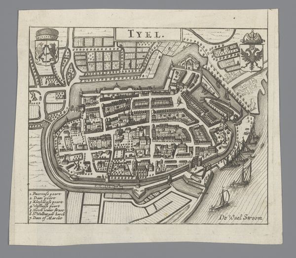
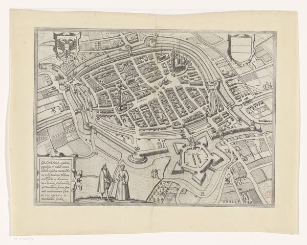
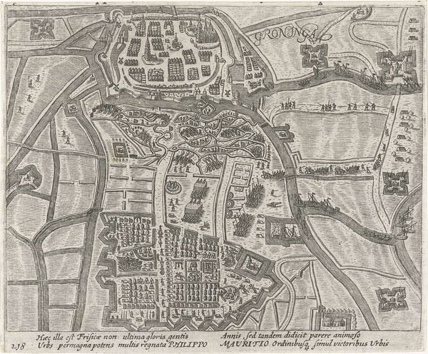
Dimensions: height 195 mm, width 270 mm
Copyright: Rijks Museum: Open Domain
This anonymous map of Groningen was made as an engraving, and it depicts the city along with a fortress. The image provides a window into the military and political strategies of the Dutch Republic. We see a fortified city, designed to withstand sieges, a reflection of the ongoing conflicts and power struggles of the time. The fortress, with its angular bastions, is a symbol of the city's resilience and the Republic's determination to defend its territory. The map can also be seen as a tool of propaganda, projecting an image of strength and stability to both domestic and foreign audiences. To fully appreciate the significance of this map, we need to look at other historical documents, such as military records, political treatises, and personal letters. These sources can provide valuable insights into the social, cultural, and political context in which the map was created and used.
Comments
No comments
Be the first to comment and join the conversation on the ultimate creative platform.