drawing, print, ink, engraving
#
drawing
#
dutch-golden-age
# print
#
landscape
#
ink
#
geometric
#
genre-painting
#
engraving
Dimensions: height 507 mm, width 720 mm
Copyright: Rijks Museum: Open Domain
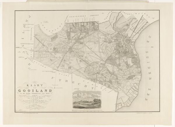
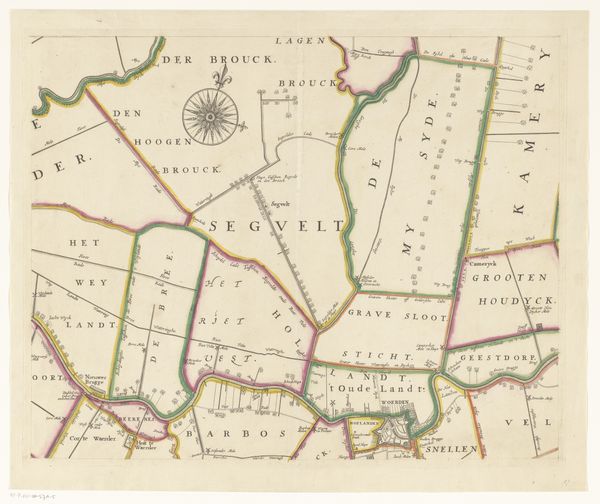
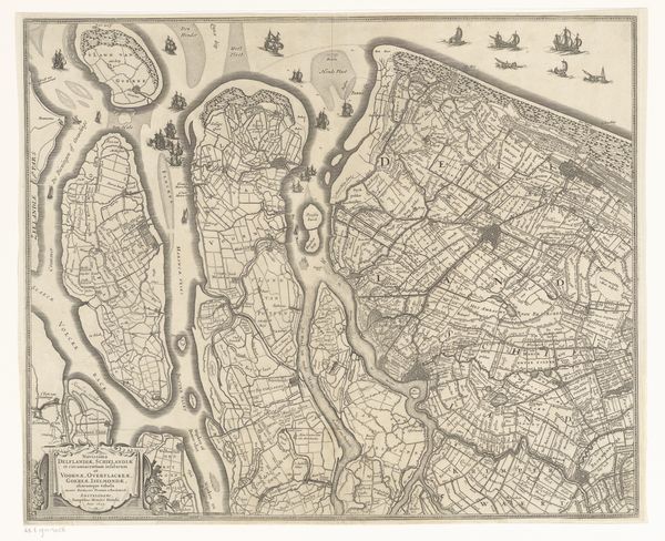
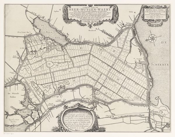
Curator: Before us, we have a fascinating print titled "Kaart van Oost-Voorne (Voorne)" believed to have been created sometime between 1701 and 1729 by Jan Stemmers. Currently, it resides in the Rijksmuseum collection. What are your initial thoughts? Editor: The precision! It's stark yet functional. I immediately think of the labor that goes into such detailed line work – the meticulous transfer of knowledge about land into a reproducible format. One really gets a feel for the structure of ownership and organization inherent in the landscape. Curator: Yes, the density of the marks creates a compelling graphic structure. The linear network overlaid upon the landmass serves to define and organize space according to Cartesian logic, if I may. Do you find a specific geometric principle underlying this seemingly arbitrary partition? Editor: Arbitrary isn't the word I’d use, although imposed might fit. Look at the borders around the edges of the districts depicted, these lands had owners and administrators. It makes me wonder what conditions of work went into managing all these sectors! And of course, the availability of ink and engraving tools, that all factors into production. Curator: I understand, your concerns address the socioeconomic aspects deeply encoded within the map. However, allow me to add that the overall formal structure of the print does serve an aesthetic purpose. Its contrasting tonalities, for instance, direct the eye according to artistic intentions! And of course, a skilled engraver's finesse can alter a map from being a mere technical object, to that of a considered image. Editor: Finesse absolutely comes into play but at the heart of it all is necessity. These aren’t paintings to simply admire on the wall – a land surveyor created this with practical aims, which then had an impact on those whose work affected its contours, and then the printing workers that multiplied this image for a market! Its aesthetic effect arises precisely from the context it inhabits. Curator: Indeed, perhaps it's a fruitful symbiosis between material imperative and artistic strategy. By acknowledging each others vantage point here, the analytical scope of this piece deepens. Editor: Exactly. And maybe that's where true understanding of this detailed 'kaart' lies—in recognizing those entwined threads of human endeavor, artistic intentionality and productive function.
Comments
No comments
Be the first to comment and join the conversation on the ultimate creative platform.
More like this