About this artwork
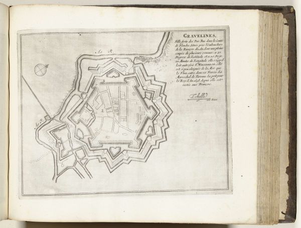
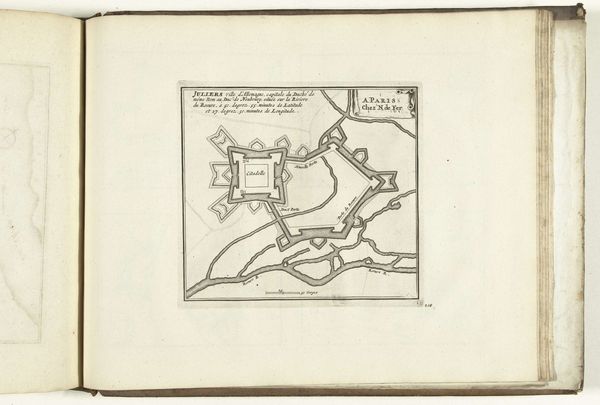
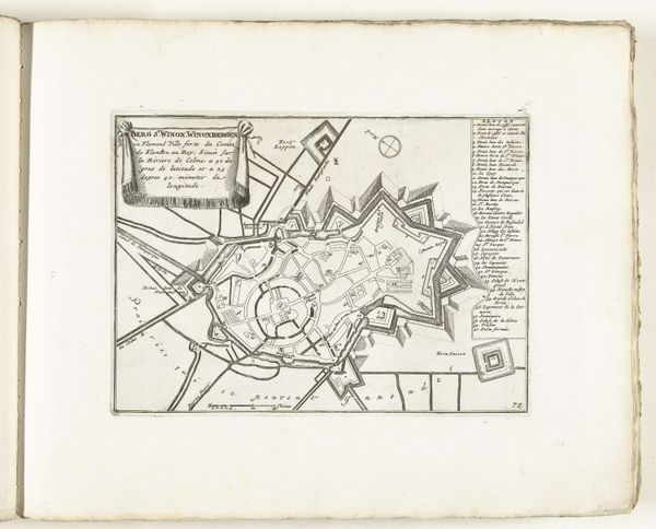
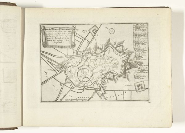
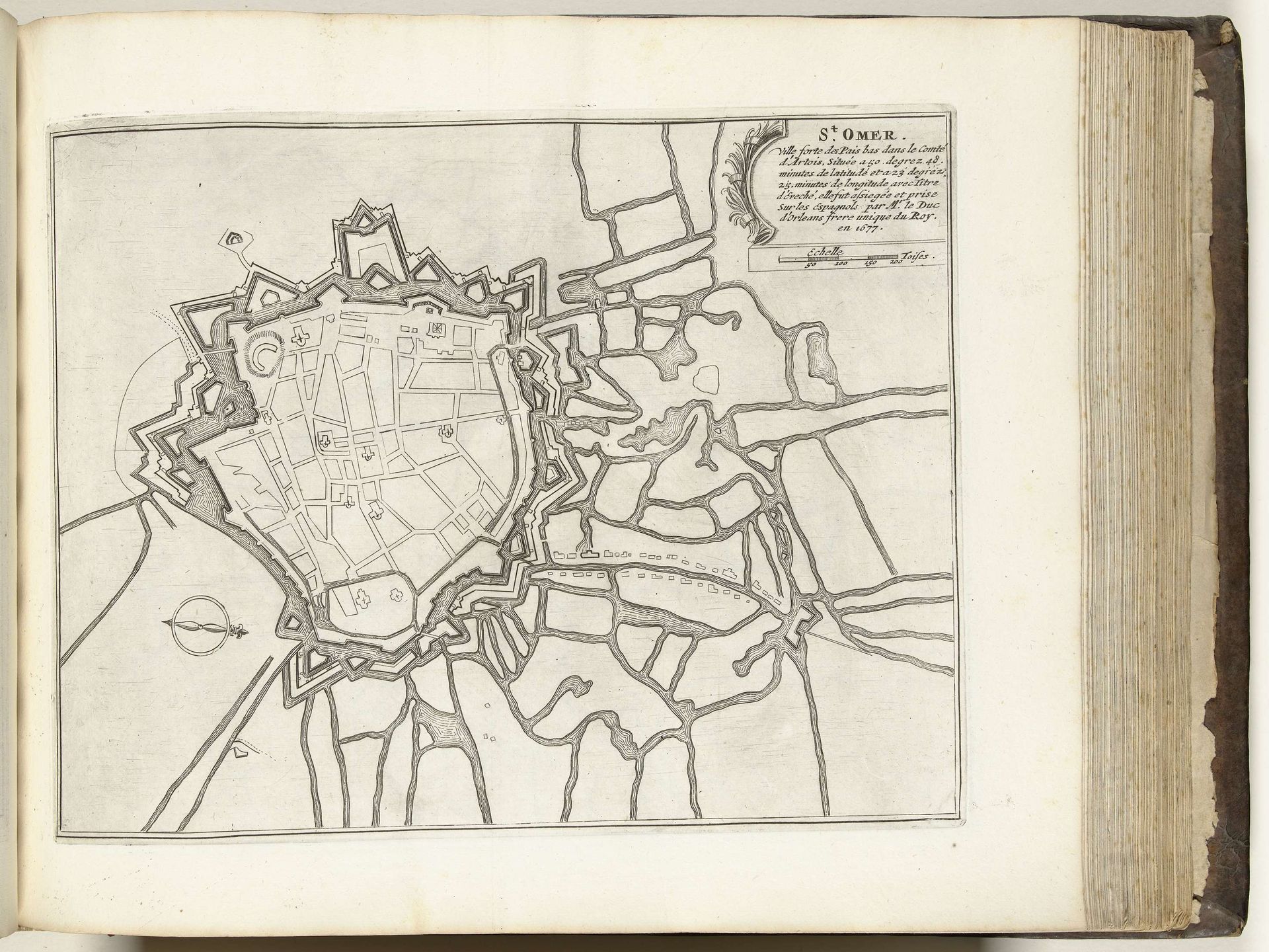
This print, made around 1693 to 1696 by an anonymous artist, depicts Saint-Omer. It’s an engraving, meaning the artist would have used a tool called a burin to carve lines into a metal plate, likely copper. Think about the labor involved: meticulously incising each line to create a precise image of the city's layout. The quality of the line is everything. The artist captures not only the buildings and streets, but also a sense of the city's fortifications, reflecting the strategic importance of Saint-Omer at that time. Engraving like this wasn't just about art; it was about communication, propaganda, and power. These maps were tools for governance and control, reflecting a society deeply invested in order and structure. So, next time you look at a print, consider the immense amount of time and skill involved in its making, and what this reveals about its wider cultural significance.
Artwork details
- Medium
- drawing, print, ink, engraving
- Dimensions
- height 230 mm, width 293 mm
- Location
- Rijksmuseum
- Copyright
- Rijks Museum: Open Domain
Tags
drawing
baroque
pen sketch
ink
ancient-mediterranean
cityscape
engraving
Comments
No comments
About this artwork
This print, made around 1693 to 1696 by an anonymous artist, depicts Saint-Omer. It’s an engraving, meaning the artist would have used a tool called a burin to carve lines into a metal plate, likely copper. Think about the labor involved: meticulously incising each line to create a precise image of the city's layout. The quality of the line is everything. The artist captures not only the buildings and streets, but also a sense of the city's fortifications, reflecting the strategic importance of Saint-Omer at that time. Engraving like this wasn't just about art; it was about communication, propaganda, and power. These maps were tools for governance and control, reflecting a society deeply invested in order and structure. So, next time you look at a print, consider the immense amount of time and skill involved in its making, and what this reveals about its wider cultural significance.
Comments
No comments