drawing, print, ink, engraving
#
drawing
#
baroque
# print
#
pen sketch
#
ink
#
cityscape
#
engraving
Dimensions: height 229 mm, width 288 mm
Copyright: Rijks Museum: Open Domain
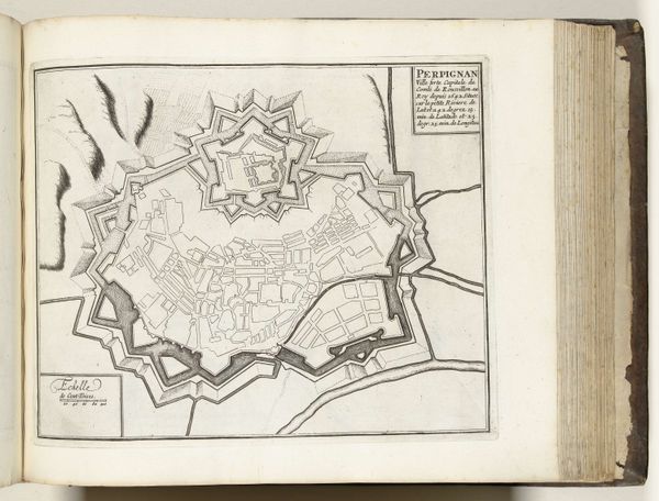
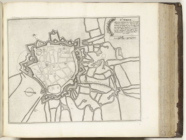
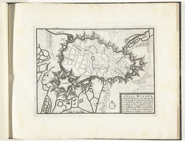
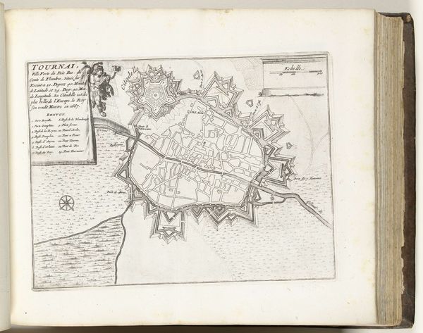
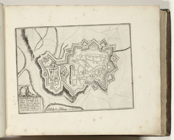
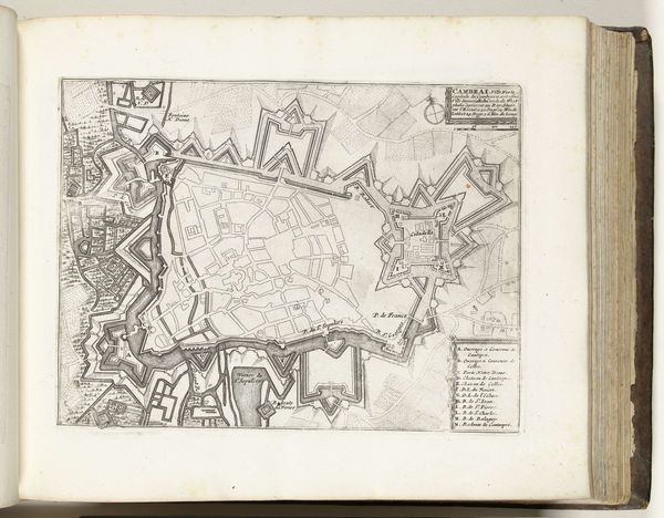
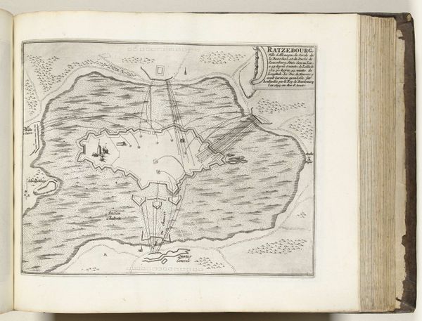
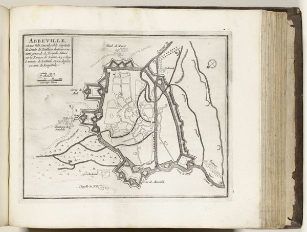
This is an anonymous etching from around 1693 to 1696, showing the layout of Ypres. Note the formidable fortifications surrounding the city, star-shaped bastions projecting outwards. This recalls ancient city plans, as the image of a fortified city is archetypal. From Jericho’s walls to medieval castles, we see humankind’s enduring quest for security. The star shape, however, evolves from 16th-century military engineering to deflect cannon fire; a practical form born of necessity. Yet, consider the psychological dimension. Walls protect but also isolate. Each bastion mirrors our own defenses, the barriers we erect against the world. Does this layout evoke safety or claustrophobia? Perhaps both, for every protection is also a prison. This symbol of fortified space reappears through history, each time shaped by new threats and old fears. It serves as a potent reminder of our perennial anxieties, ever resurfacing in new forms.
Comments
No comments
Be the first to comment and join the conversation on the ultimate creative platform.
More like this