drawing, paper, ink, engraving
#
drawing
#
baroque
#
paper
#
ink
#
cityscape
#
history-painting
#
engraving
Dimensions: height 228 mm, width 291 mm
Copyright: Rijks Museum: Open Domain
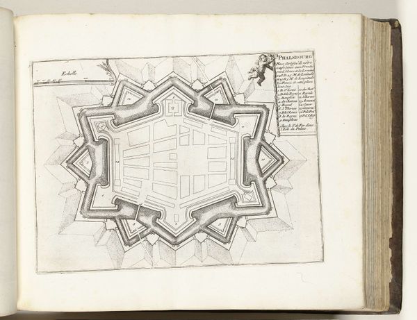
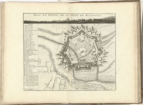
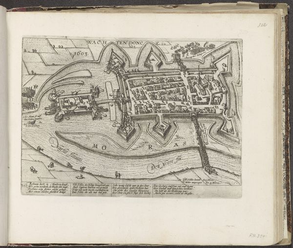
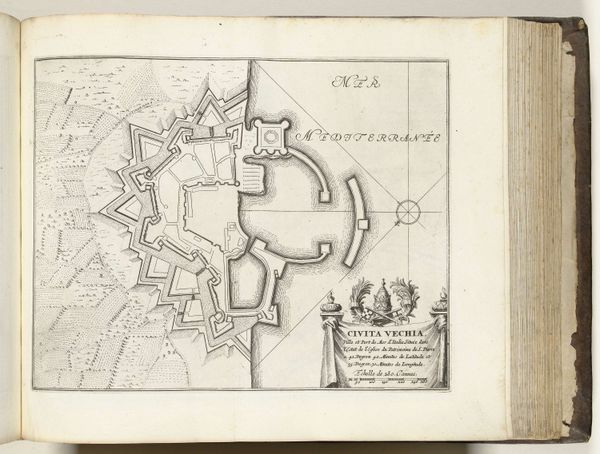
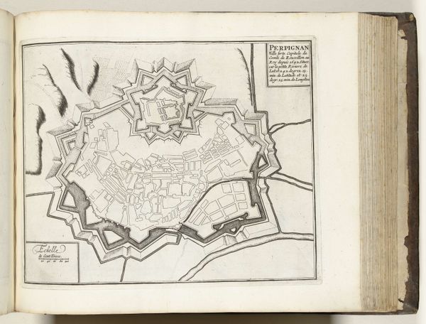
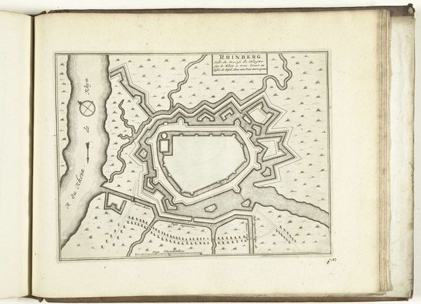
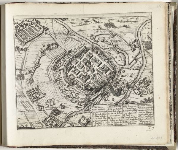
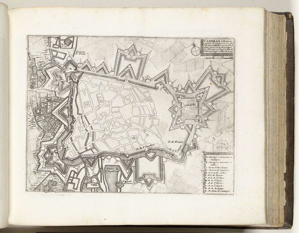
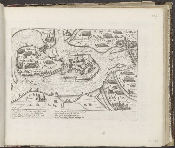
This is an anonymous map of Gravelines, likely made around 1693-1696. The dominant symbol here is the city's Vauban-style fortification, a star-shaped defensive structure. This motif echoes across time; we see similar geometric patterns in medieval city plans and Renaissance fortress designs. These shapes aren't just practical; they reflect a human desire to impose order and control on the landscape, a visual assertion of power. Consider the compass rose, a symbol for navigation and orientation, but also for exploration and conquest. This symbolizes humanity's quest for knowledge and domination. In this context, it’s fascinating to see how these symbols of control also hint at the anxieties of the time, the subconscious fears of invasion and the psychological need for protection. These images have power because they engage us at a deep, almost primal level. These symbols and their meanings are far from linear. They resurface, evolve, and take on new meanings depending on the historical context, reminding us of the cyclical nature of history and the enduring human quest for security and dominance.
Comments
No comments
Be the first to comment and join the conversation on the ultimate creative platform.
More like this