1693
Vestingplattegrond van Sint-Winoksbergen, 1693
Anonymous
@anonymousLocation
RijksmuseumListen to curator's interpretation
Curatorial notes
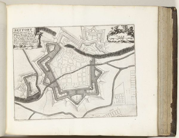
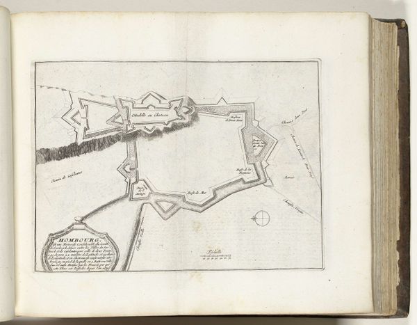
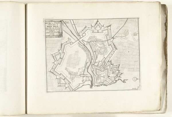
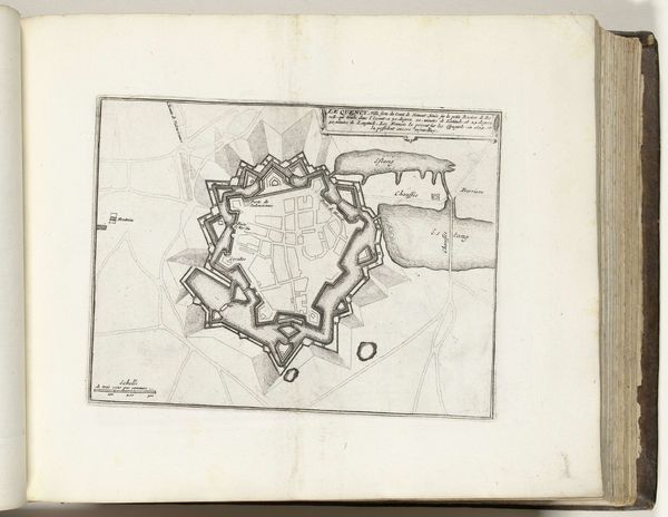
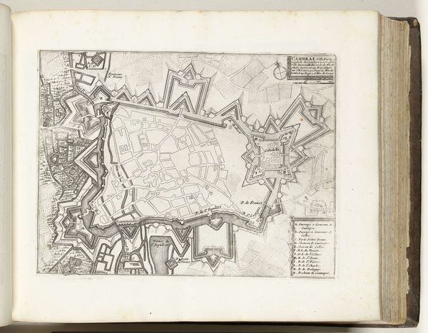
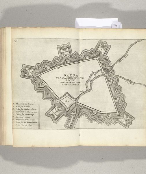
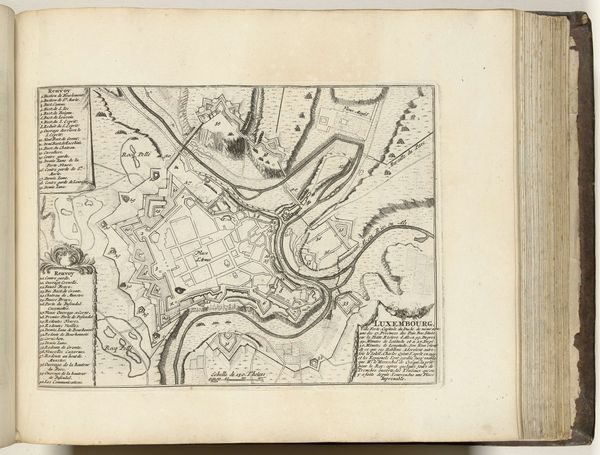
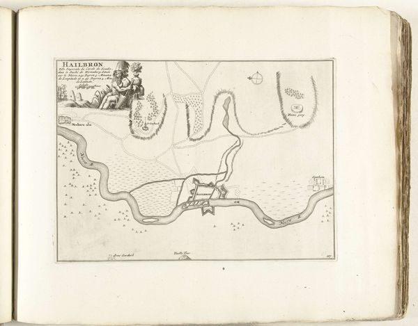
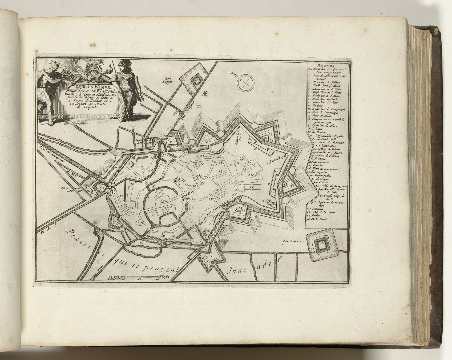
This is a map of Sint-Winoksbergen, made in 1693 by an anonymous artist. It's an engraving, meaning that the image was incised into a metal plate, likely copper, and then printed. The crisp lines and precise details testify to the engraver's skill. Consider the qualities of the material itself. Copper is relatively soft, allowing for fine details, but it also requires a steady hand. The process is labor-intensive, each line carefully etched. This wasn't just a neutral act of documentation. Creating and disseminating such maps was strategic. They informed military planning, and reinforced territorial claims. The map speaks to the intense pressures of the period. The very form of the city, with its star-shaped fortifications, reflects a society organized around defense. Ultimately, this print reminds us that even seemingly objective documents are shaped by the materials, processes, and social contexts in which they are made. It challenges the idea that 'fine art' is somehow separate from the world of craft, labor, and politics.