print, engraving
#
dutch-golden-age
# print
#
geometric
#
cityscape
#
engraving
Dimensions: height 236 mm, width 355 mm
Copyright: Rijks Museum: Open Domain
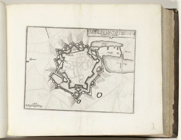
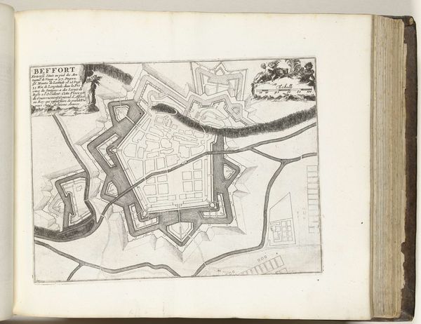
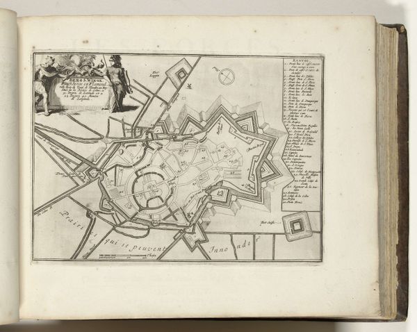
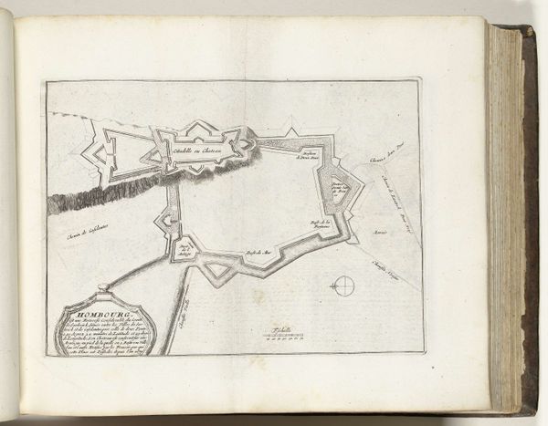
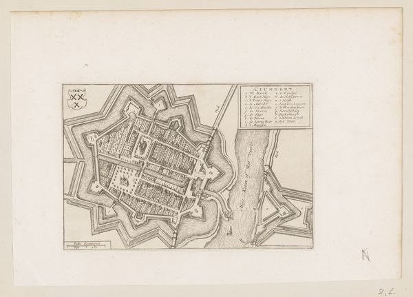
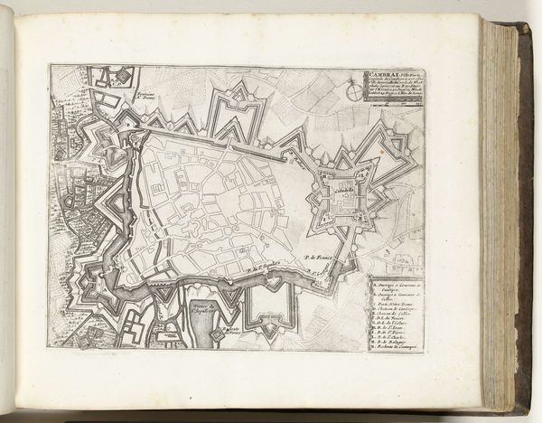
This anonymous print from 1624 or 1625 depicts a plan of the city of Breda, recently fortified by Maurice of Nassau, before a siege. What strikes me is the visual language of power it employs. In the Dutch Republic during the early 17th century, maps weren’t just geographical tools; they were potent symbols of control and order. This print presents Breda as an impenetrable fortress, a testament to Dutch engineering and military prowess. The clean lines and geometric precision emphasize rationality and mastery over the landscape. It’s a visual assertion of dominance. To truly understand this image, we need to delve into the history of the Dutch Republic, its struggles for independence, and the role of the House of Orange-Nassau. Military history, combined with archival research into Dutch cartography, can reveal the full meaning of this print. Art provides a window onto the social conditions of its time.
Comments
No comments
Be the first to comment and join the conversation on the ultimate creative platform.
More like this