1695 - 1697
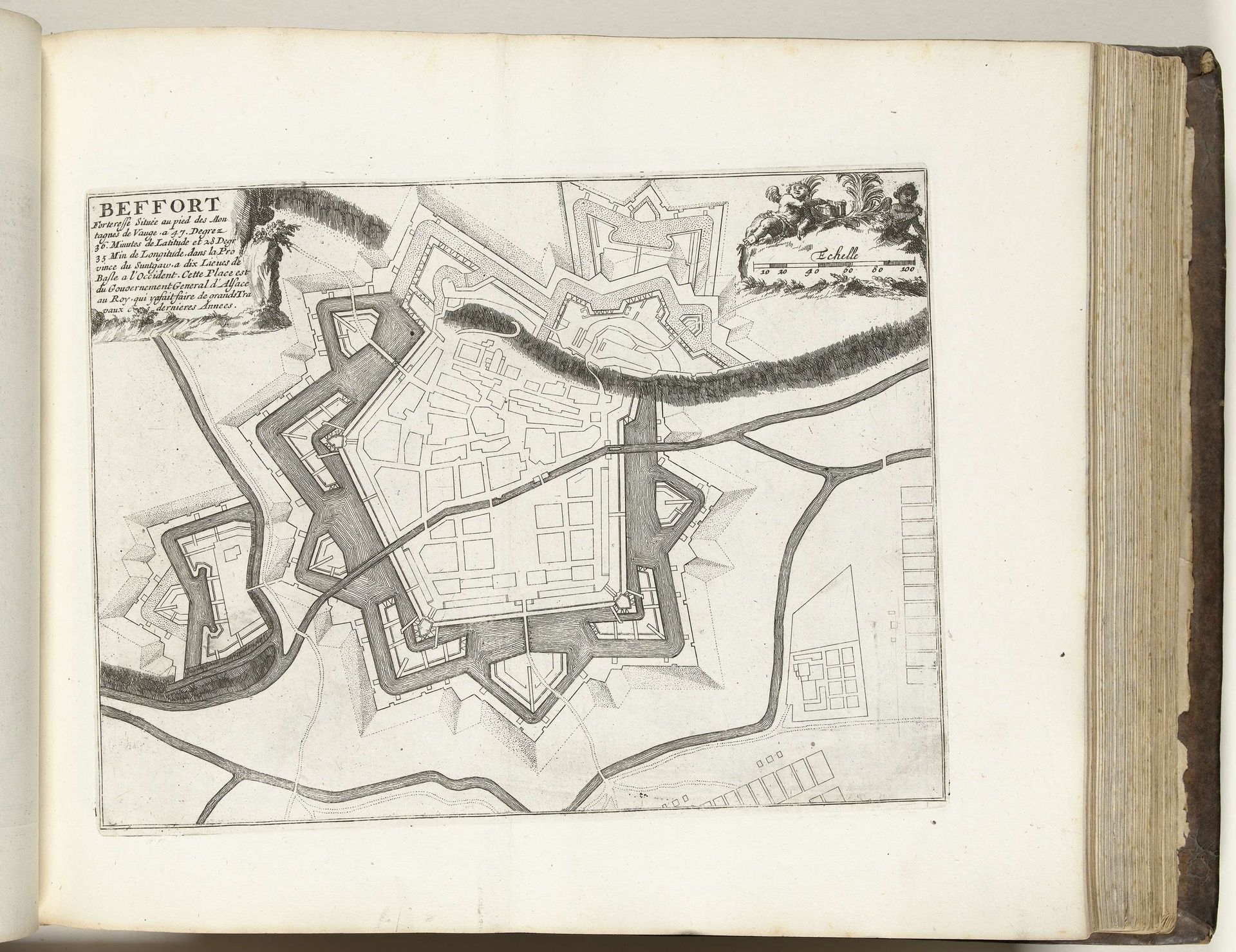
Plattegrond van Belfort, ca. 1695
Anonymous
@anonymousLocation
RijksmuseumListen to curator's interpretation
Curatorial notes
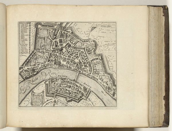
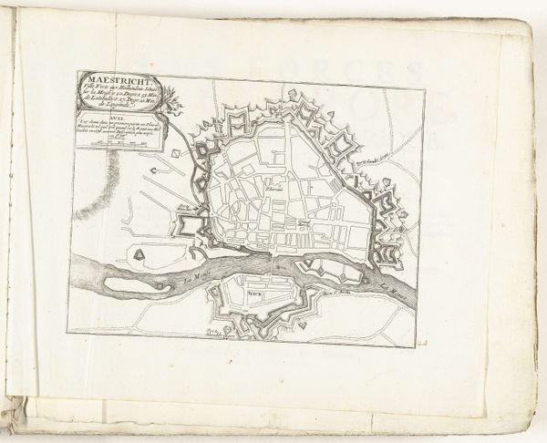
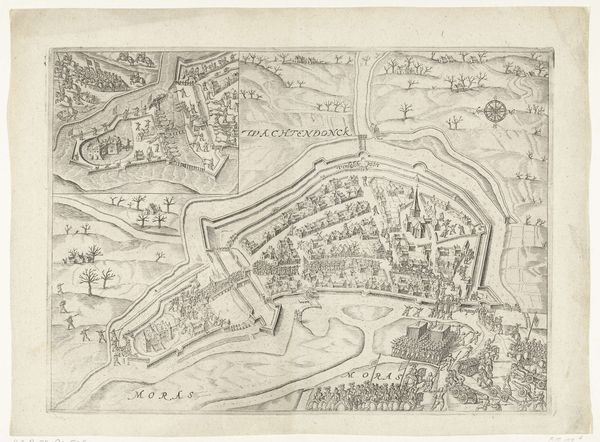
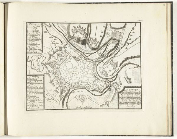
Curator: Before us is a pen and ink drawing, "Plattegrond van Belfort, ca. 1695," dating to the late 17th century. The anonymous artist created this rendering on paper now held at the Rijksmuseum. Editor: It looks almost like a geometric puzzle. The intricacy is captivating; it draws you into a different era of meticulous planning and detailed observation. The aged paper adds to its character, conveying a feeling of having survived so many years. Curator: The geometric layout speaks to the formal structure employed in Baroque cartography, heavily reliant on rational principles to convey strategic information. Look at the clear emphasis on fortifications and controlled entry points, signaling the critical need to document military defenses. Editor: And see how that linearity defines the aesthetic. Every line, every angle contributes to a holistic visual architecture, reinforcing the city's defensive posture while producing a work of art that elevates technical drafting into a unique study on the tensions between art and conflict. Curator: Quite. It's fascinating to consider how the narrative elements contribute, albeit indirectly, to political power. City plans such as these were powerful tools for governance and military command, not merely objective records but active instruments within larger systems. Editor: Definitely! These were far from neutral documents. By showcasing architectural choices that enhance defensive advantages, the cartographer implicitly upholds political priorities tied to control and safety—perhaps hinting at potential unrest in the city and a ruler's firm grasp. Curator: Such considerations help to understand its lasting legacy and continued importance beyond mere aesthetic appeal. Editor: Precisely, analyzing it allows us to trace echoes of a tumultuous period where art intersected with politics and planning to shape the layout and destiny of Belfort. The drawing provides crucial insight and stimulates introspection beyond its immediate depiction.