About this artwork
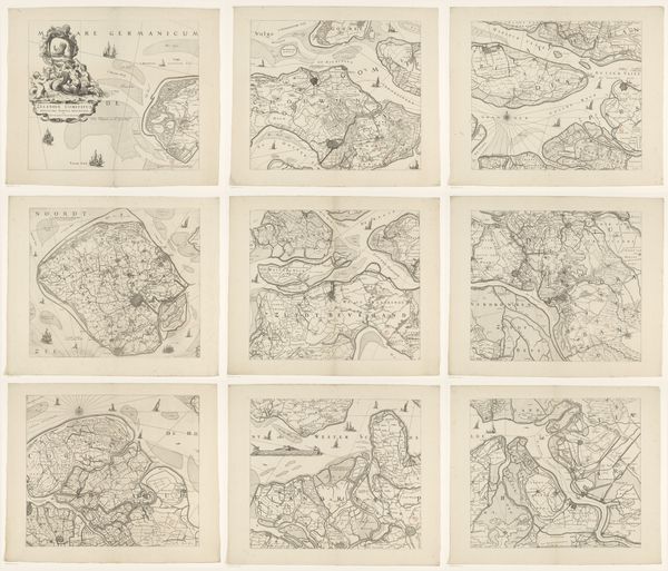
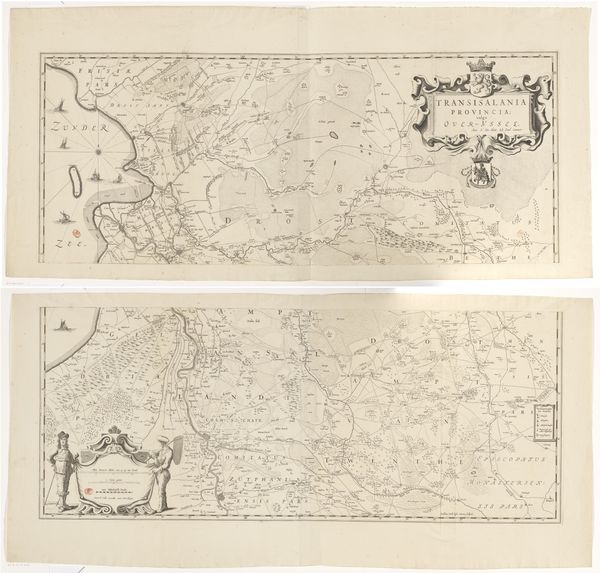
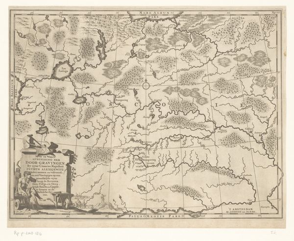
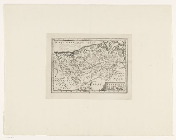
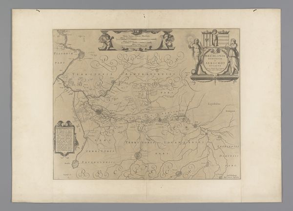
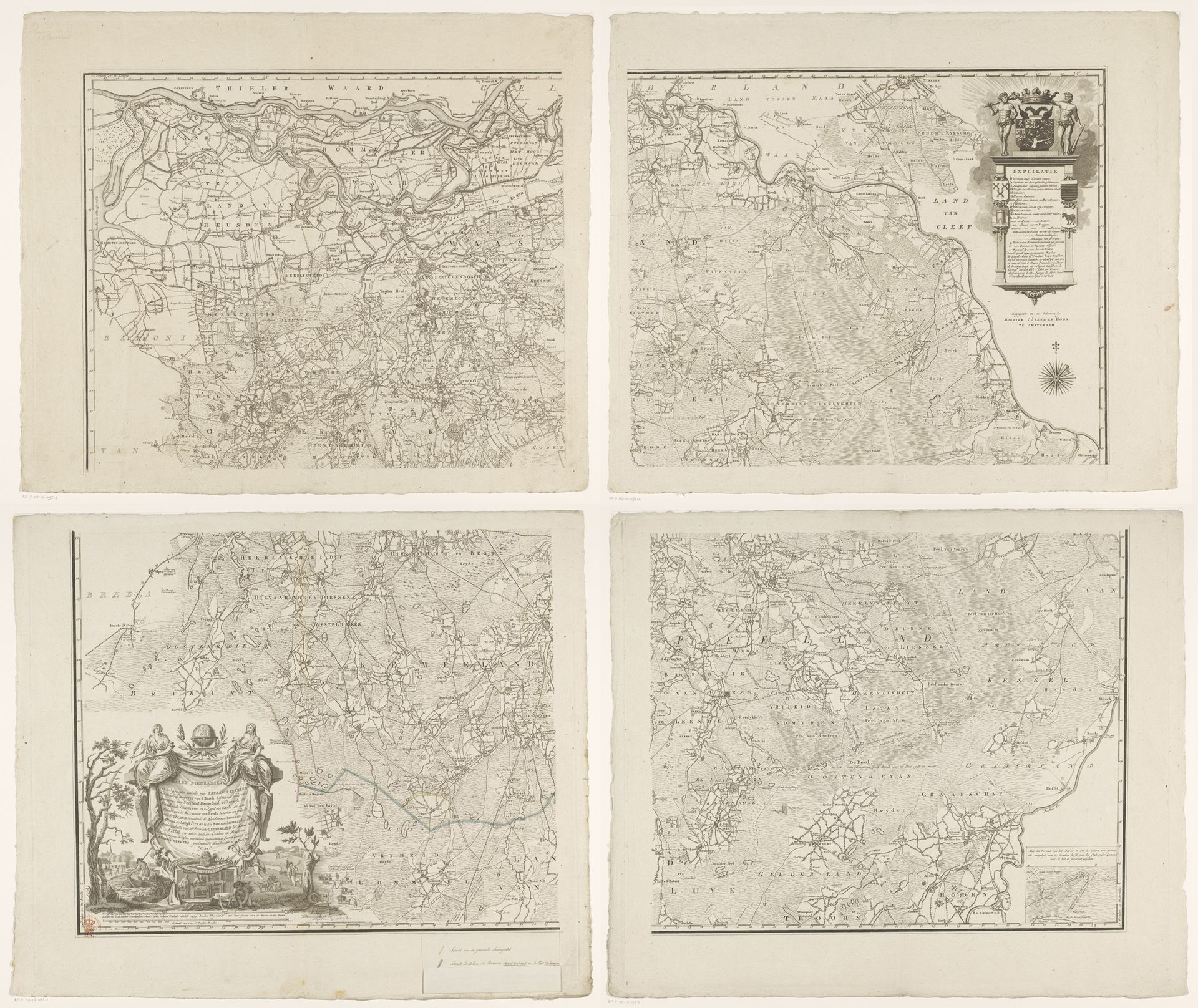
Cornelis van Baarsel created this map of Brabant in four parts, employing etching. Note the symbolic cartouches adorning each sheet; these are not mere decoration but heraldic devices and allegorical figures meant to convey power and ownership. Consider how these symbols echo throughout history. The coat of arms, a recurrent motif, appears in ancient heraldry and medieval banners, each time asserting dominion. It’s interesting to observe these emblems shift in meaning over centuries. Originally, they identified noble families; now, they represent political entities. They also seem to serve the psychological function of asserting control, a kind of claiming of the territory on a subconscious level. The use of personified figures, reminiscent of classical deities, projects an aura of timeless authority. Indeed, we witness here a cultural memory at play. The recurring use of such iconography demonstrates how these symbols endure. They resurface, evolve, and take on new meanings, yet still resonate, engaging viewers on a deep and often unconscious level.
Artwork details
- Dimensions
- height 1106 mm, width 1283 mm
- Copyright
- Rijks Museum: Open Domain
Comments
Share your thoughts
About this artwork
Cornelis van Baarsel created this map of Brabant in four parts, employing etching. Note the symbolic cartouches adorning each sheet; these are not mere decoration but heraldic devices and allegorical figures meant to convey power and ownership. Consider how these symbols echo throughout history. The coat of arms, a recurrent motif, appears in ancient heraldry and medieval banners, each time asserting dominion. It’s interesting to observe these emblems shift in meaning over centuries. Originally, they identified noble families; now, they represent political entities. They also seem to serve the psychological function of asserting control, a kind of claiming of the territory on a subconscious level. The use of personified figures, reminiscent of classical deities, projects an aura of timeless authority. Indeed, we witness here a cultural memory at play. The recurring use of such iconography demonstrates how these symbols endure. They resurface, evolve, and take on new meanings, yet still resonate, engaging viewers on a deep and often unconscious level.
Comments
Share your thoughts