About this artwork
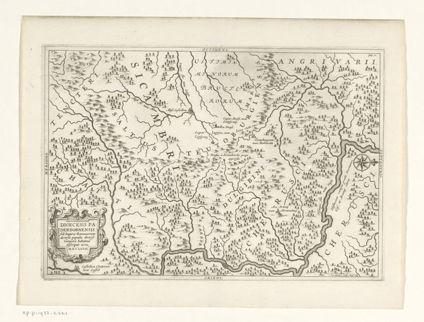
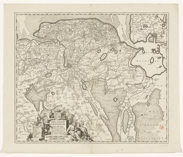
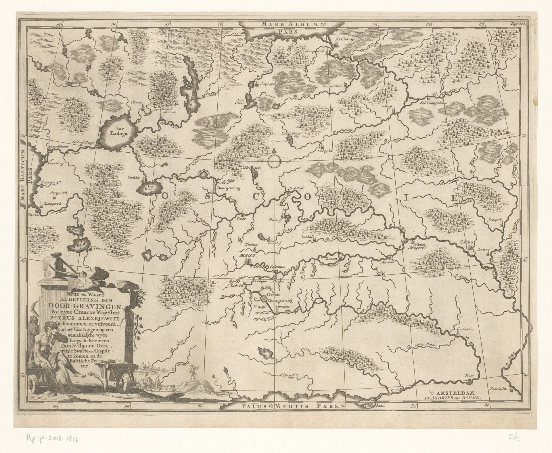
This map of the Moscow region, showing the uncompleted Don-Volga canal, was printed by an anonymous maker using engraving, a process intimately tied to both commerce and state power. Consider the physicality of engraving: A design is incised into a metal plate, often copper, with a tool called a burin. Ink is then forced into these lines, and the surface wiped clean, ready for printing. The pressure of the printing press imprints the image onto paper. This skilled, laborious process allowed for the mass production of images, fueling the distribution of knowledge and propaganda. Here, the map is not just a representation of geography; it is a declaration of intent. The canal, though unfinished, symbolizes Russia's ambition to connect its waterways, expand trade, and consolidate power. Look closely at the lines; they speak of human effort, ingenuity, and the drive to reshape the world. Maps like these blur the boundaries between art, craft, and political tool.
Kaart van de omgeving van Moskou, met het (nooit voltooide) kanaal tussen de Don en de Wolga
1702 - 1727
Anonymous
@anonymousLocation
RijksmuseumArtwork details
- Medium
- drawing, print, etching, ink, engraving
- Dimensions
- height 302 mm, width 393 mm
- Location
- Rijksmuseum
- Copyright
- Rijks Museum: Open Domain
Tags
Comments
Share your thoughts
About this artwork
This map of the Moscow region, showing the uncompleted Don-Volga canal, was printed by an anonymous maker using engraving, a process intimately tied to both commerce and state power. Consider the physicality of engraving: A design is incised into a metal plate, often copper, with a tool called a burin. Ink is then forced into these lines, and the surface wiped clean, ready for printing. The pressure of the printing press imprints the image onto paper. This skilled, laborious process allowed for the mass production of images, fueling the distribution of knowledge and propaganda. Here, the map is not just a representation of geography; it is a declaration of intent. The canal, though unfinished, symbolizes Russia's ambition to connect its waterways, expand trade, and consolidate power. Look closely at the lines; they speak of human effort, ingenuity, and the drive to reshape the world. Maps like these blur the boundaries between art, craft, and political tool.
Comments
Share your thoughts