drawing, print, etching, ink
#
drawing
#
baroque
# print
#
etching
#
landscape
#
etching
#
ink
#
cityscape
Dimensions: height 280 mm, width 373 mm
Copyright: Rijks Museum: Open Domain
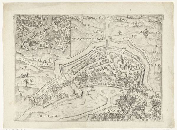
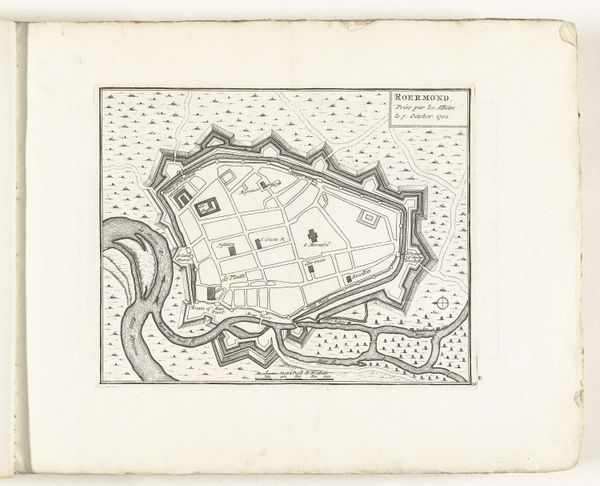
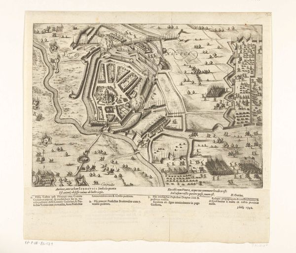
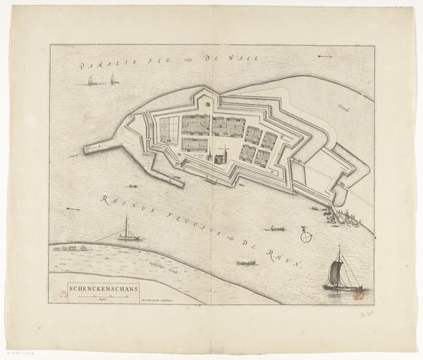
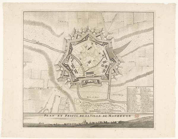
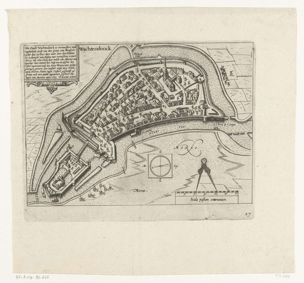
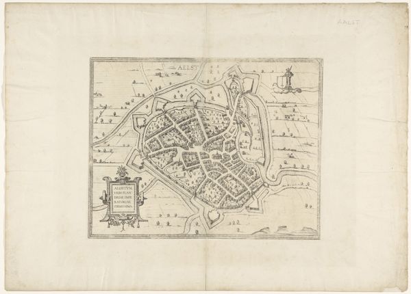
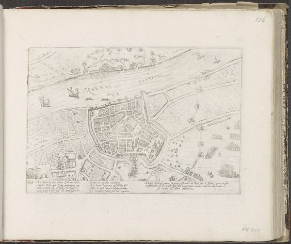
This is E. van Engelen's "Plattegrond van Utrecht, 690," a bird’s-eye view meticulously etched, offering more than just geographic data. It is a map imbued with symbols of power and survival. Consider the walls: fortifications are universal; shields against existential threats. As old as civilization itself, they echo in the defensive structures from ancient Jericho to modern Berlin. Their presence speaks to the primal need for security. And what of the waterways? Rivers have always marked borders, the boundaries between civilizations, channels of trade, and arteries of life, just as they do in this map. These features tap into a collective memory. Walls may evoke safety, but also confinement and the ever-present specter of siege. This cartographic art evokes an emotional dialogue.
Comments
No comments
Be the first to comment and join the conversation on the ultimate creative platform.
More like this