print, engraving, architecture
#
baroque
# print
#
asian-art
#
old engraving style
#
geometric
#
line
#
cityscape
#
engraving
#
architecture
Dimensions: height 244 mm, width 290 mm
Copyright: Rijks Museum: Open Domain
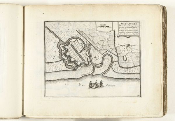
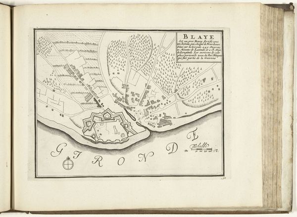
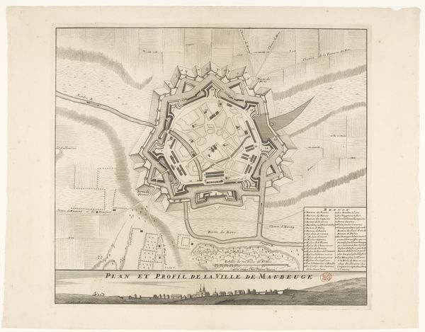
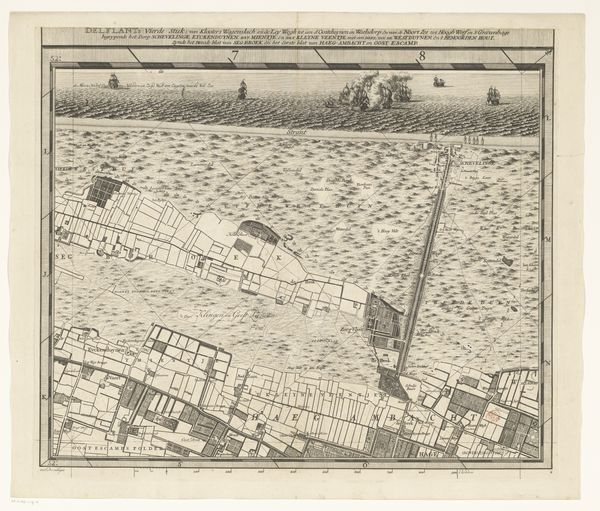
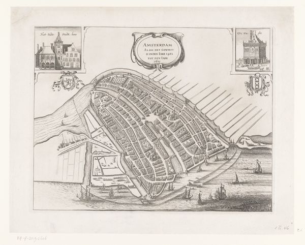
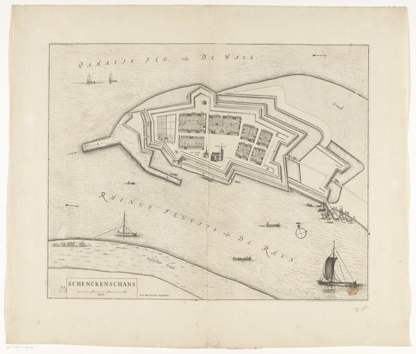
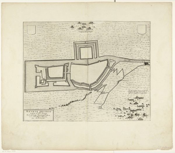
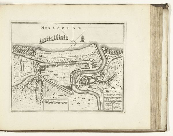
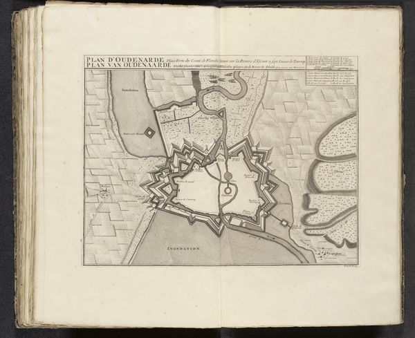
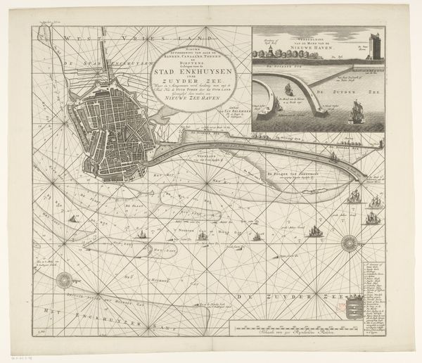
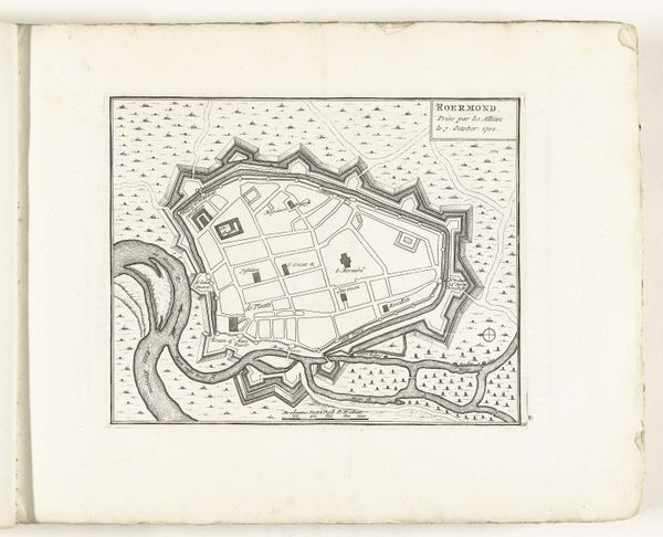
Johann Wolfgang Heydt's 'Plattegrond van het fort bij Negombo' presents a meticulously rendered map, employing stark lines and geometric forms to depict a fortified settlement. The sharp contrast between the dark ink and light paper emphasizes the structured organization of space, evoking a sense of calculated control. The composition is divided into distinct zones: the rigid grid of the town, the angular fort, and the flowing river meeting the sea. This juxtaposition of organic and inorganic forms highlights a tension between nature and human imposition. The lines serve not just to delineate boundaries but also to impose a visual order. We see the fort represented in a semiotic system, where each element carries symbolic weight. Consider how the map challenges fixed meanings, turning geographic space into a display of power. It reflects broader concerns about how spaces can be perceived, controlled, and represented through art. This cartographic representation becomes more than just a record; it's a statement about the assertion of dominance.
Comments
No comments
Be the first to comment and join the conversation on the ultimate creative platform.
