print, paper, engraving
#
dutch-golden-age
# print
#
pen illustration
#
old engraving style
#
paper
#
cityscape
#
engraving
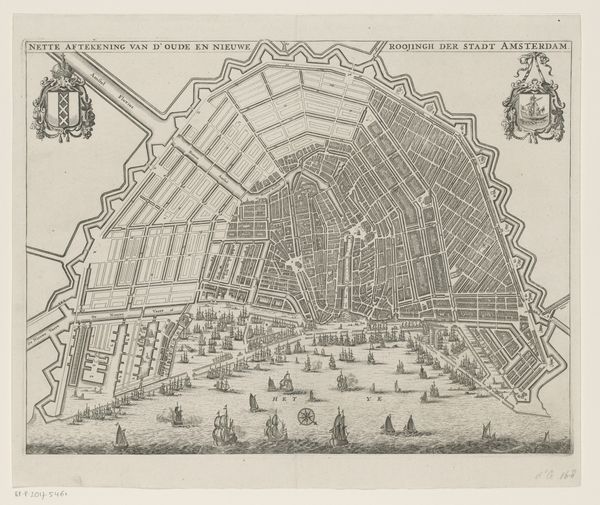
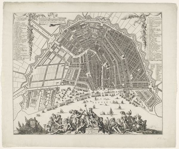
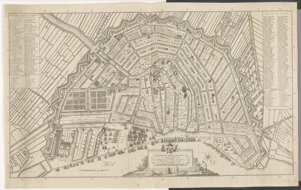
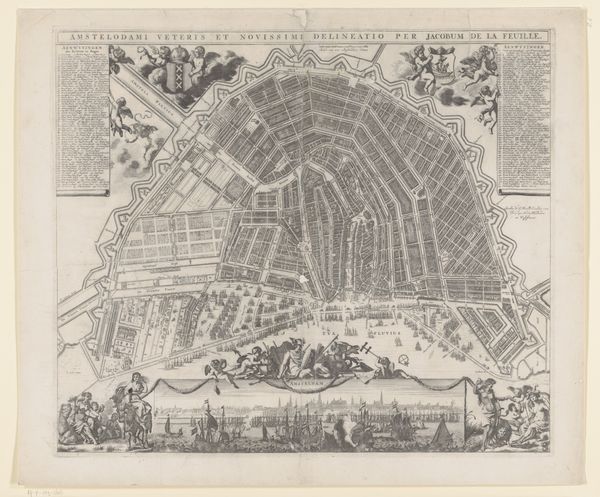
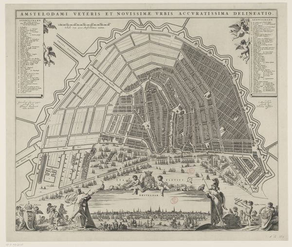
Dimensions: height 208 mm, width 317 mm
Copyright: Rijks Museum: Open Domain
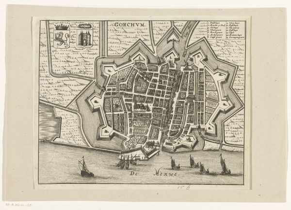
Editor: This is a printed map titled "Plattegrond van Amsterdam in het jaar 1665 na de vierde uitleg," created in 1665. The detail is incredible, and the ships give a real sense of a bustling port. What symbolic meaning do you find in the way Amsterdam is depicted here? Curator: This map vibrates with meaning beyond its practical purpose. Notice the precise geometry, the ordered canals. For its Dutch contemporaries, this represents not just geographical space, but also civic pride and rational thought, virtues the Dutch Republic championed. Amsterdam became a symbol of order and prosperity. Editor: So, the very act of mapping becomes symbolic? Curator: Precisely! Mapping creates symbolic power. Also, see the ships at the harbor? Editor: Yes, they emphasize the commercial aspect. Curator: More than that! The sea, full of ships, represents Dutch power and their connection to global trade, and it shows how trade routes sustained Amsterdam’s prosperity. Does this maritime prowess subtly carry messages about other aspects of Amsterdam? Editor: I suppose… the ability to connect and navigate across the globe with ships also indicates exploration and adventure. It speaks of new horizons and, of course, new economies. Curator: Exactly. A map isn’t merely a guide. It’s a potent expression of a culture's values and its place in the world. Editor: I never considered how much cultural ideology is encoded in something like a map. Thanks!
Comments
No comments
Be the first to comment and join the conversation on the ultimate creative platform.
More like this