drawing, print, ink, engraving, architecture
#
drawing
#
baroque
# print
#
pen sketch
#
old engraving style
#
ink
#
cityscape
#
engraving
#
architecture
Dimensions: height 404 mm, width 491 mm
Copyright: Rijks Museum: Open Domain
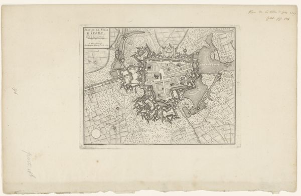
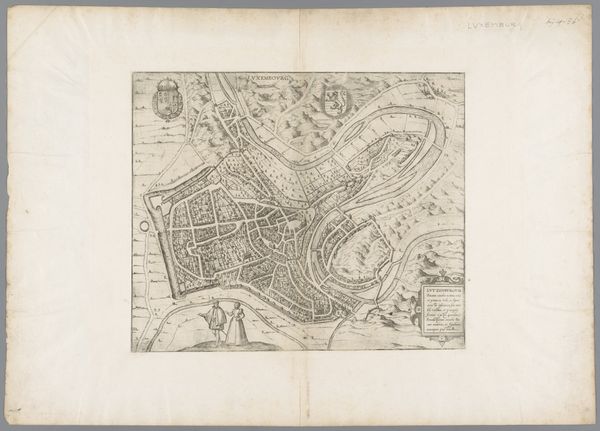
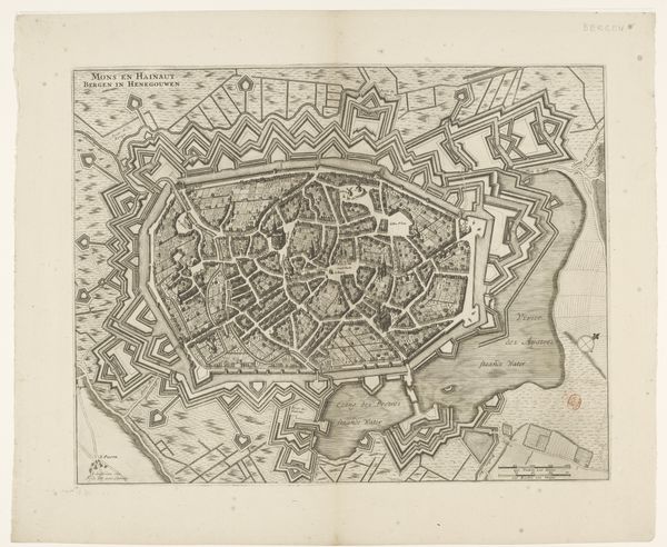
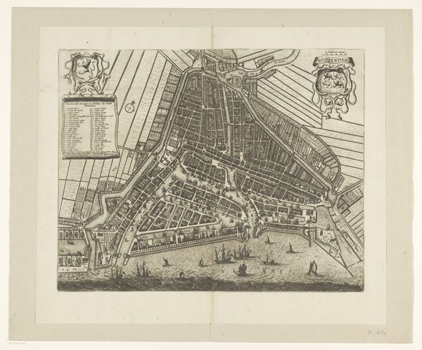
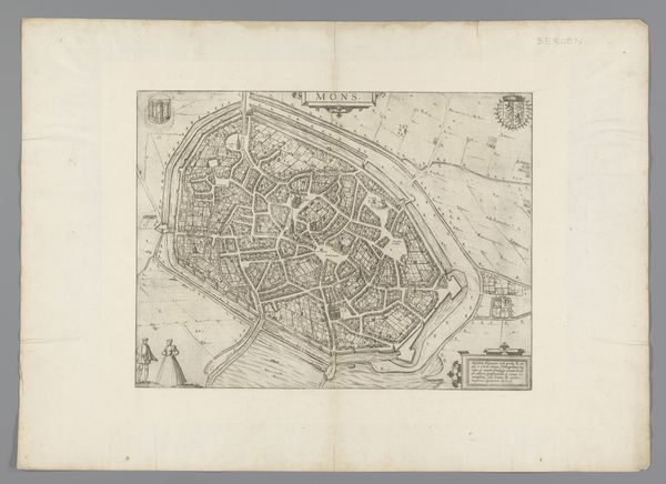
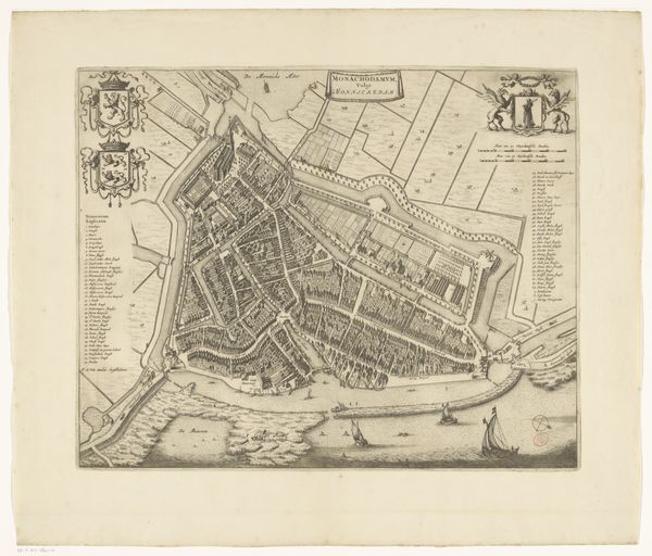
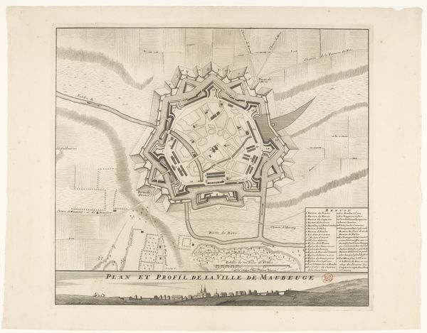
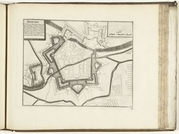
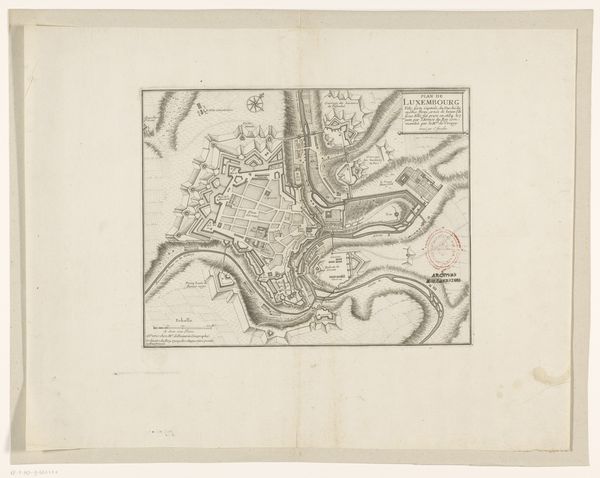
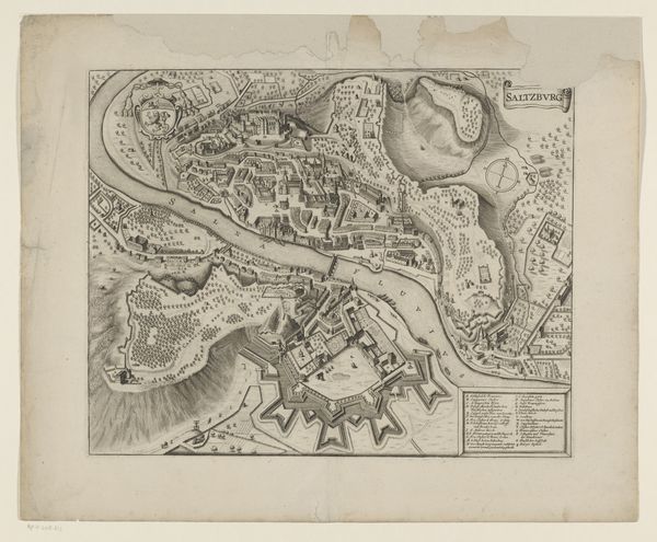
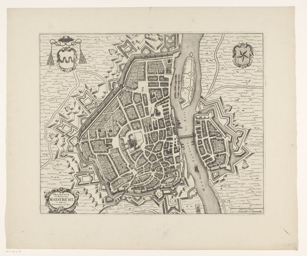
This city plan of Ieper, undated and made by an anonymous hand, is rendered with ink on paper. The lines are delicately etched, the map offering a bird's-eye view of the city and its fortifications. What is compelling about this print is the relationship between the hand-drawn marks and the social context they evoke. The fortifications are carefully delineated, reflecting the intense labor required to construct and maintain such defensive structures. Notice the repetitive, almost mechanical nature of the lines depicting the surrounding landscape, indicative of the regulated and controlled environment of the time. This map is a document of power, both in its content and in its creation. The act of mapping itself implies control and ownership. It's a reminder that even seemingly neutral representations are deeply embedded in social and political realities. By considering the labor involved in its making, we can appreciate this print as a testament to the complex interplay between craft, power, and representation.
Comments
No comments
Be the first to comment and join the conversation on the ultimate creative platform.
